After visiting Los Angeles, we headed to Death Valley National Park – one of the most extreme places on the entire American continent. It was my umpteenth visit, but this trip had a completely different energy. Especially because of what happened to me first thing that morning.
Breakfast at Denny's and the lost GoPro camera
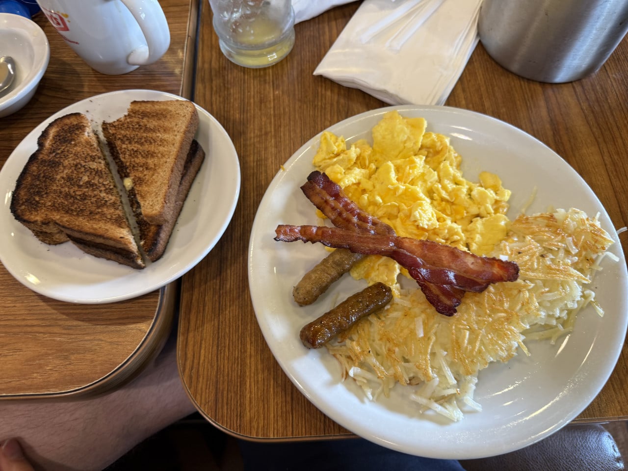
Before heading into the desert, we stopped in Los Angeles for breakfast at Denny's, where we had eaten before. A classic American breakfast – scrambled eggs, bacon, hash browns, and sausages. Nothing groundbreaking, but a reliable choice when you need enough energy for a full day in the car.
But this was where something happened to me that I will not forget for a long time.
I had a brand-new GoPro camera with me containing all the footage from the trip so far. I went to the restroom and placed the camera on a radiator – and of course, because we were in a hurry and wanted to get on the road as soon as possible, I forgot about it.
I only realized several hours later, as we were arriving in Death Valley and I wanted to start filming. I searched the entire car, but found nothing. I started calling Denny's helpline, dealt with customer service, and after some time managed to reach the restaurant directly. The camera had indeed been found – someone had set it aside, and it was waiting for me.
I had it forwarded via UPS to the ranch in Dallas and wanted to have it sent on to me. But UPS lost the package somewhere along the way. I still do not have it. I filed a claim, but it still has not been resolved and, honestly, I no longer believe I will ever see any of it again. I guess that camera simply was not meant to be mine.
That's life. 🙂
The journey from Los Angeles to Death Valley
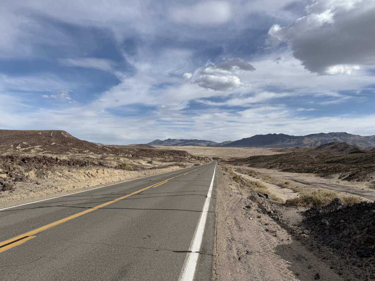
The distance from Los Angeles to Death Valley is roughly 260–300 kilometers, depending on the route you choose. The standard drive takes approximately 4.5 to 5 hours, but bear in mind that if you approach from the western side of the park, as we did, the length of the journey may surprise you – the terrain changes, the road rises and falls, and you do not even realize how much time you have actually spent behind the wheel.
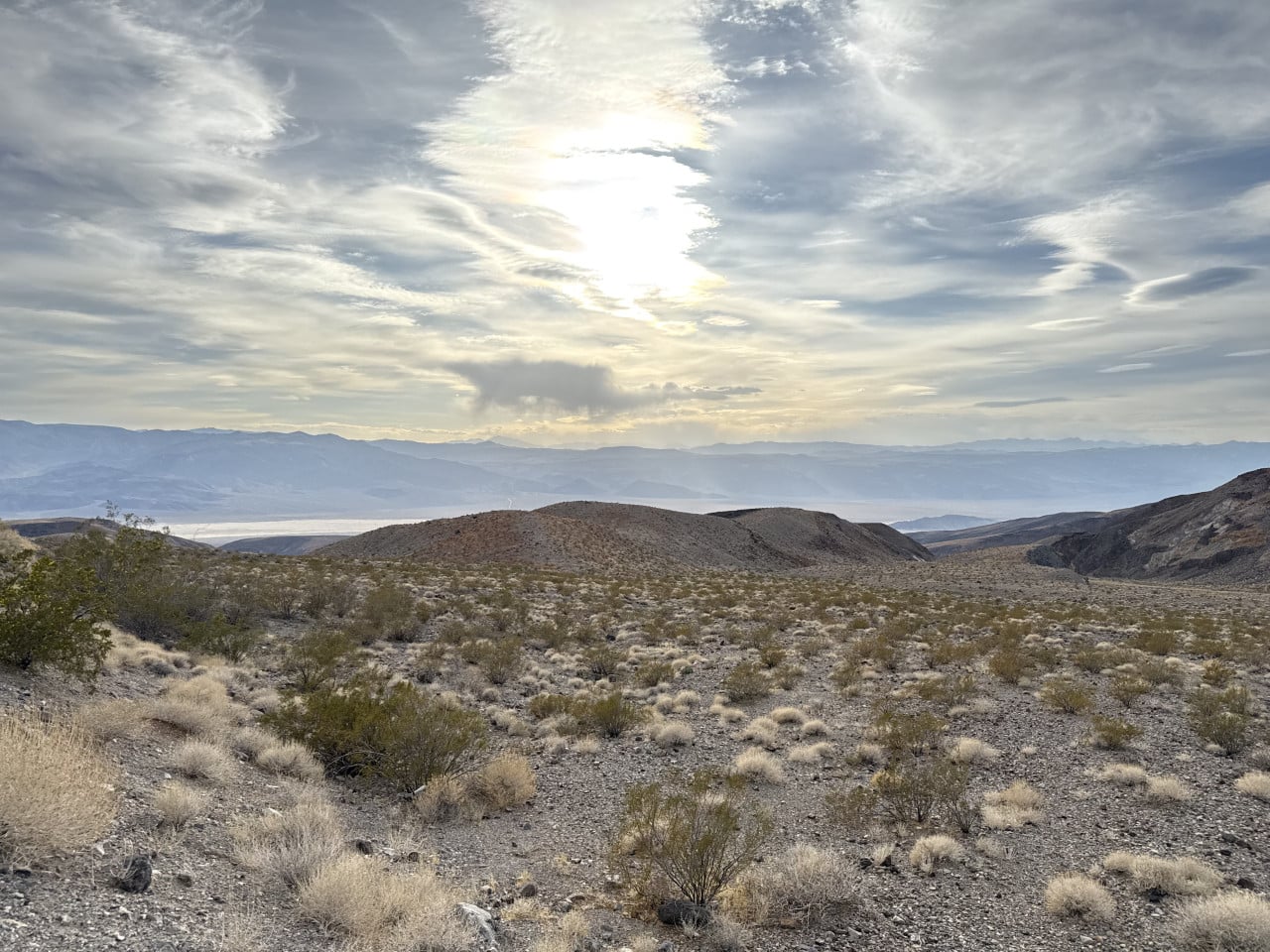
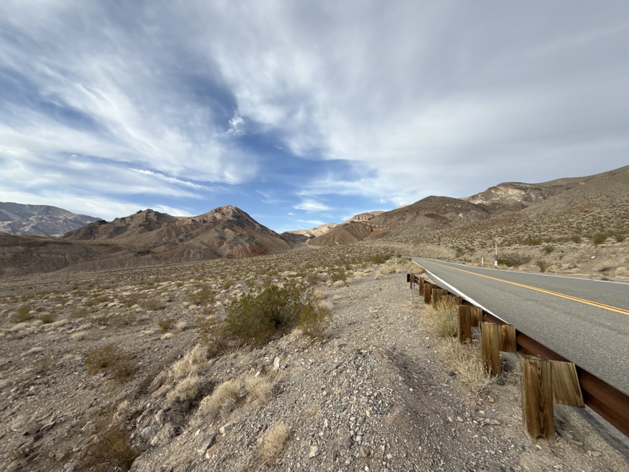
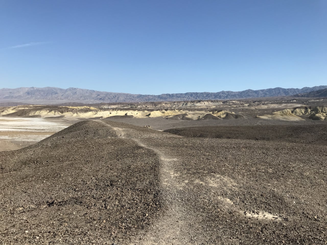
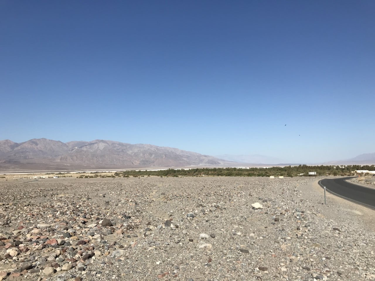
We entered the park from the “other side" – not from Las Vegas, as most tourists do, but from the west, through the mountain passes. The landscape gradually changes from urban development through arid desert to dramatic rock formations. It is one of those journeys where you cannot stop looking out the window.
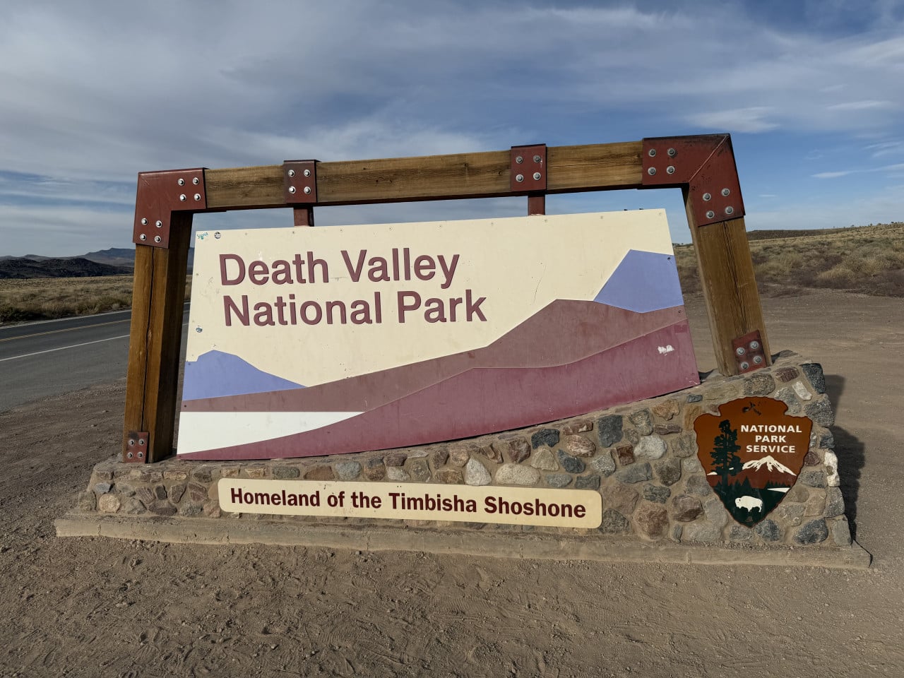
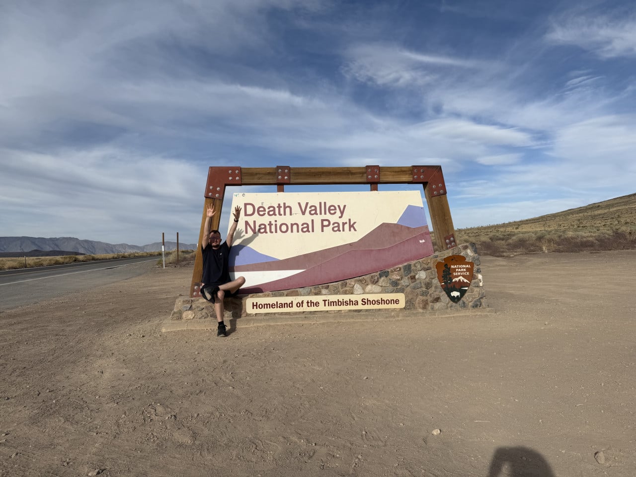
Right at the park entrance, we stopped by the Death Valley National Park sign, which bears the subtitle “Homeland of the Timbisha Shoshone" – a reminder of the Indigenous people who lived in this valley for thousands of years.
A little history: how Death Valley was formed
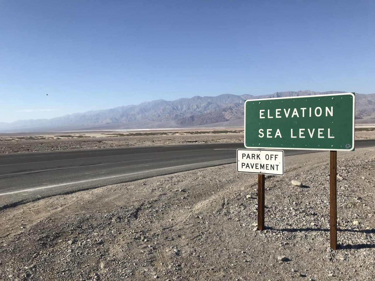
Death Valley truly is a place of superlatives. It is home to Badwater Basin – the lowest point in all of North America, lying 86 meters below sea level. And less than 140 kilometers away stands Mount Whitney, the highest mountain in the contiguous 48 U.S. states, at an elevation of 4,421 meters. Such a difference in elevation over such a short distance is truly unique.
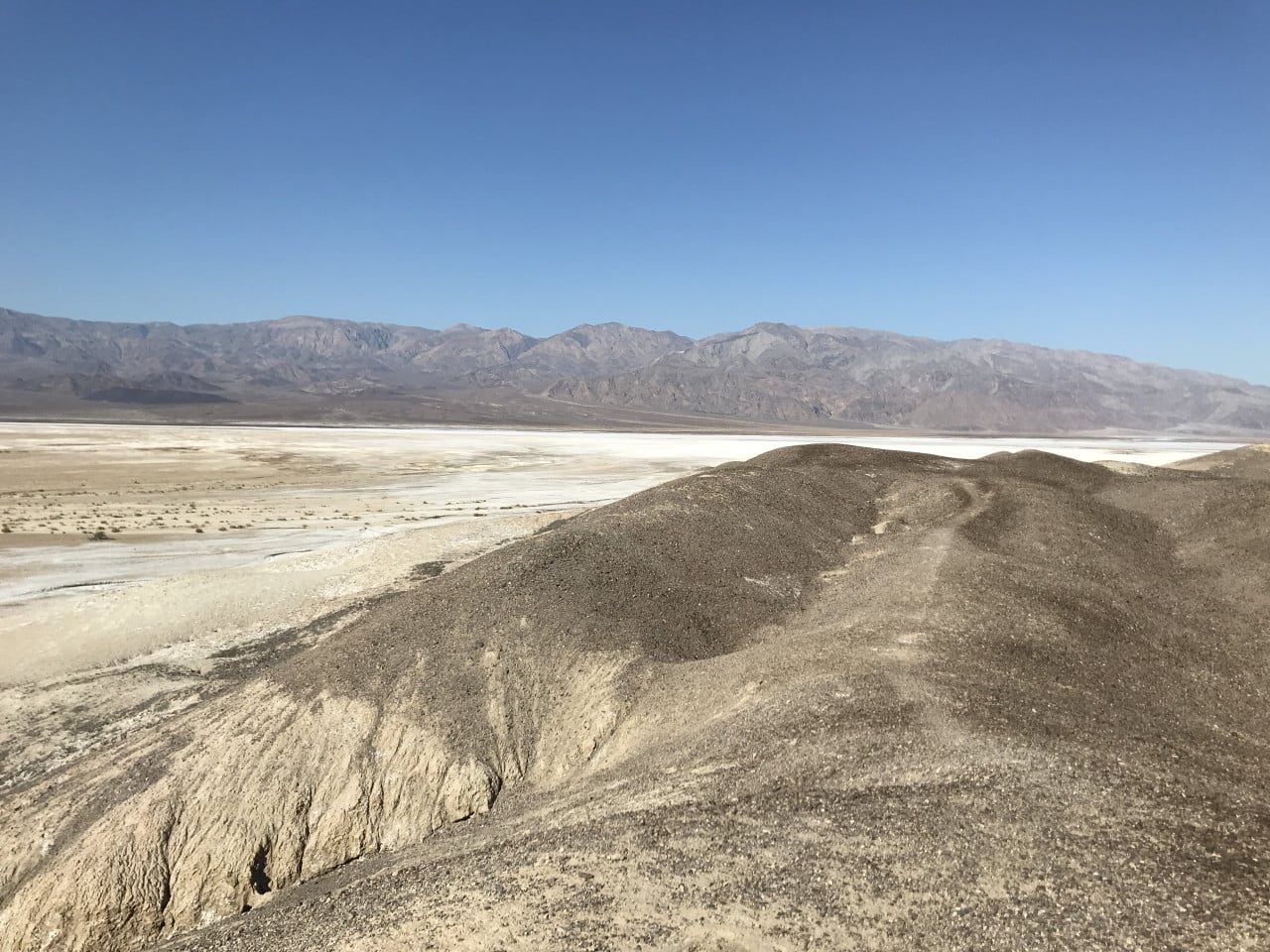
The valley formed millions of years ago through tectonic activity – two parallel fault lines pulled the Earth's crust apart, gradually creating the deep depression we now know as Death Valley. During the ice ages, the enormous Lake Manly existed here, measuring up to 160 kilometers long and 180 meters deep. When the climate warmed, the water evaporated, leaving behind the vast salt flats that now cover the valley floor.
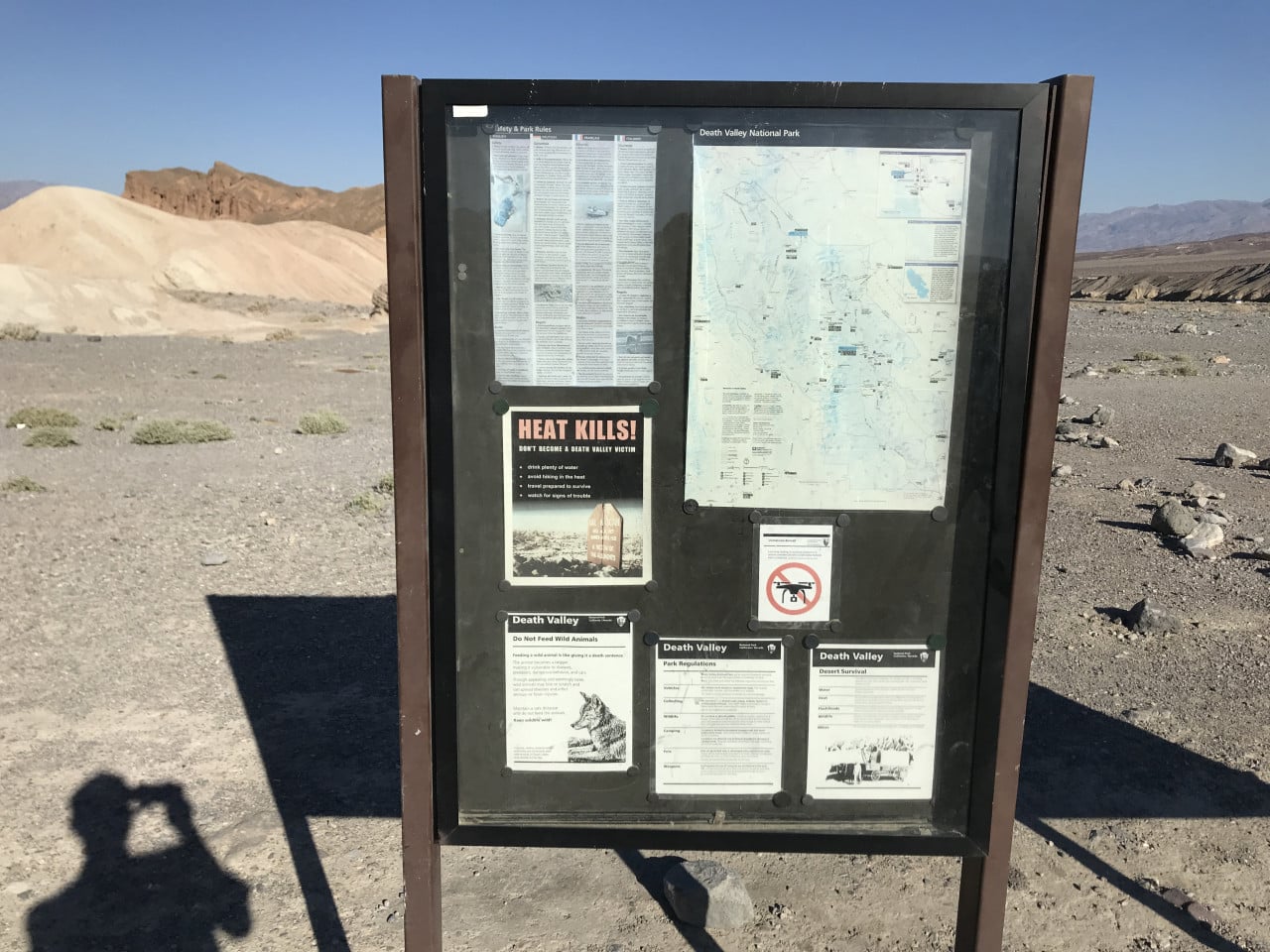
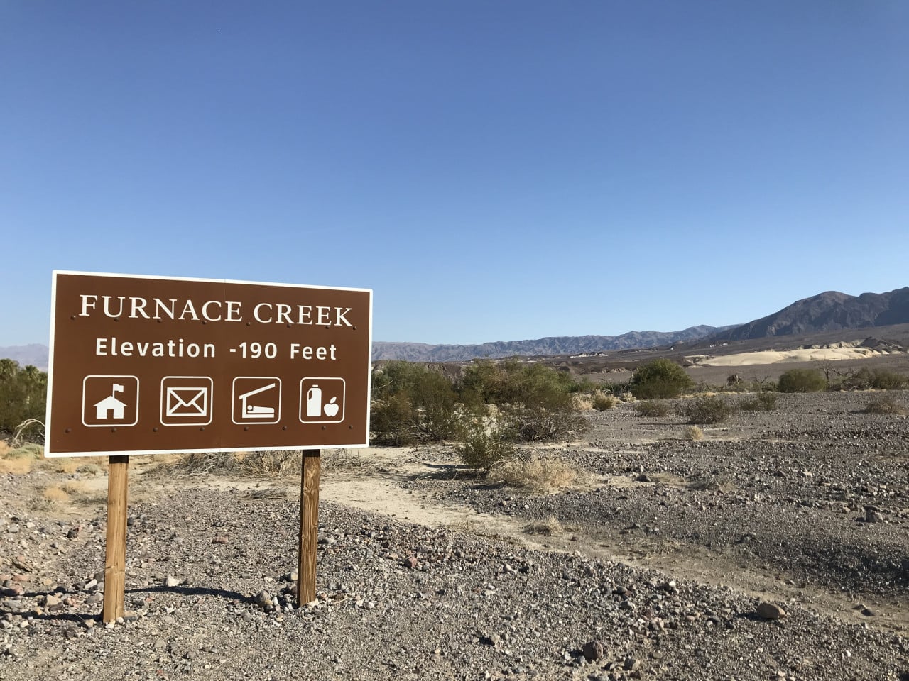
Incidentally, this was where the highest air temperature in Earth's recorded history was measured on July 10, 1913: 56.7 °C at Furnace Creek. Even today, summer temperatures routinely exceed 50 °C, so if you are planning a visit, the ideal time is from October to April.
The park covers more than 13,000 km², making it the largest national park in the United States outside Alaska. Driving all the way across Death Valley takes at least two hours of nonstop driving, but with stops at the various attractions along the way, you should easily set aside an entire day.
Father Crowley Vista Point – a viewpoint with a story
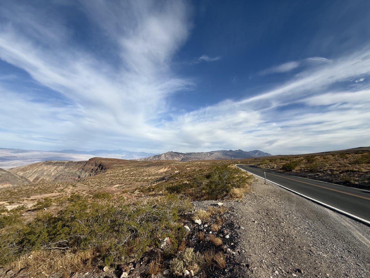
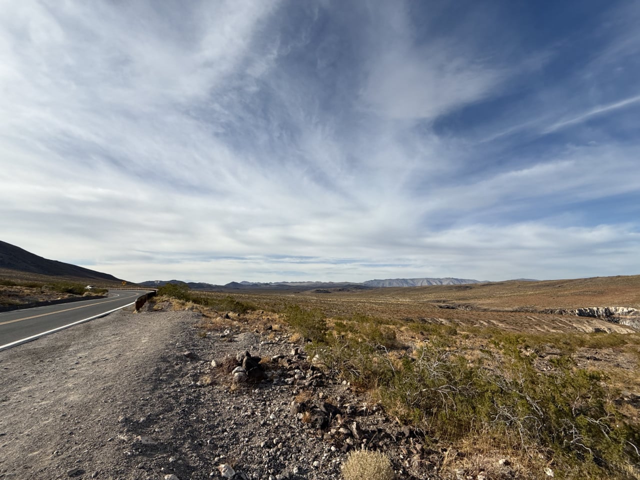
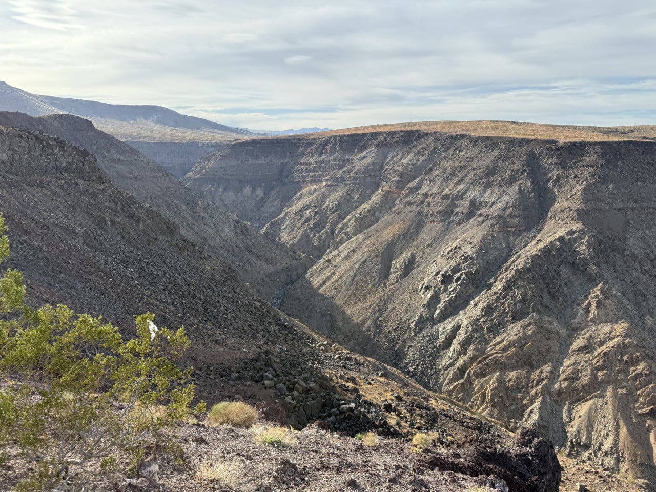
One of our first stops was Father Crowley Vista Point – a viewpoint on the western edge of the park. From here, you get a breathtaking view into Rainbow Canyon, a colorful canyon whose walls were shaped by ancient volcanic activity. The colors of the rocks range from red through gray to pink, and the entire view looks almost unreal.
The viewpoint is named after Father John J. Crowley (1891–1940), a Catholic priest nicknamed the “desert padre." Crowley was of Irish descent and served in the remote parishes of desert California, where his parish covered an area the size of all Ireland – more than 77,000 km². In just the first 16 months of his ministry, he drove more than 80,000 kilometers in his Ford Model T.
Crowley became famous not only for his pastoral work, but above all for fighting for the rights of local residents who lost their water after Los Angeles began diverting water from Owens Valley. He founded the Inyo Associates, an organization that sought to find a compromise between the needs of the metropolis and those of local communities. Unfortunately, he died in a car accident in 1940 after hitting stray cattle on the road at night. He was only 48 years old.
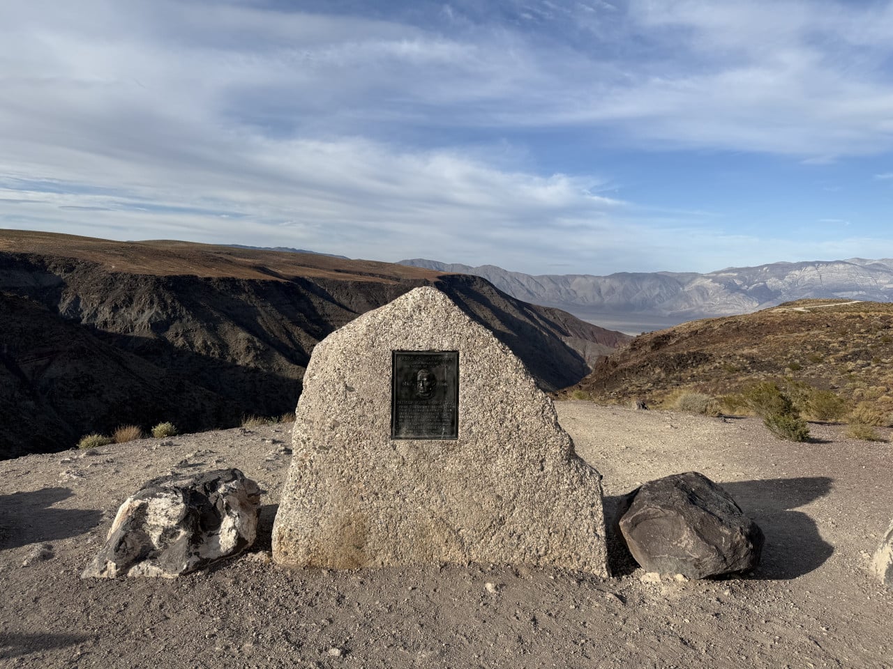
A stone memorial with a bronze plaque stands at the viewpoint in his honor. From here, you can also see Panamint Valley, another stunning valley. Interestingly, until 2019, the canyon below the viewpoint was known as “Star Wars Canyon" – the U.S. Air Force conducted fighter jet training flights here, attracting many enthusiasts. The flights were halted after a tragic crash in which a pilot was killed.
General Store and refueling in the middle of nowhere
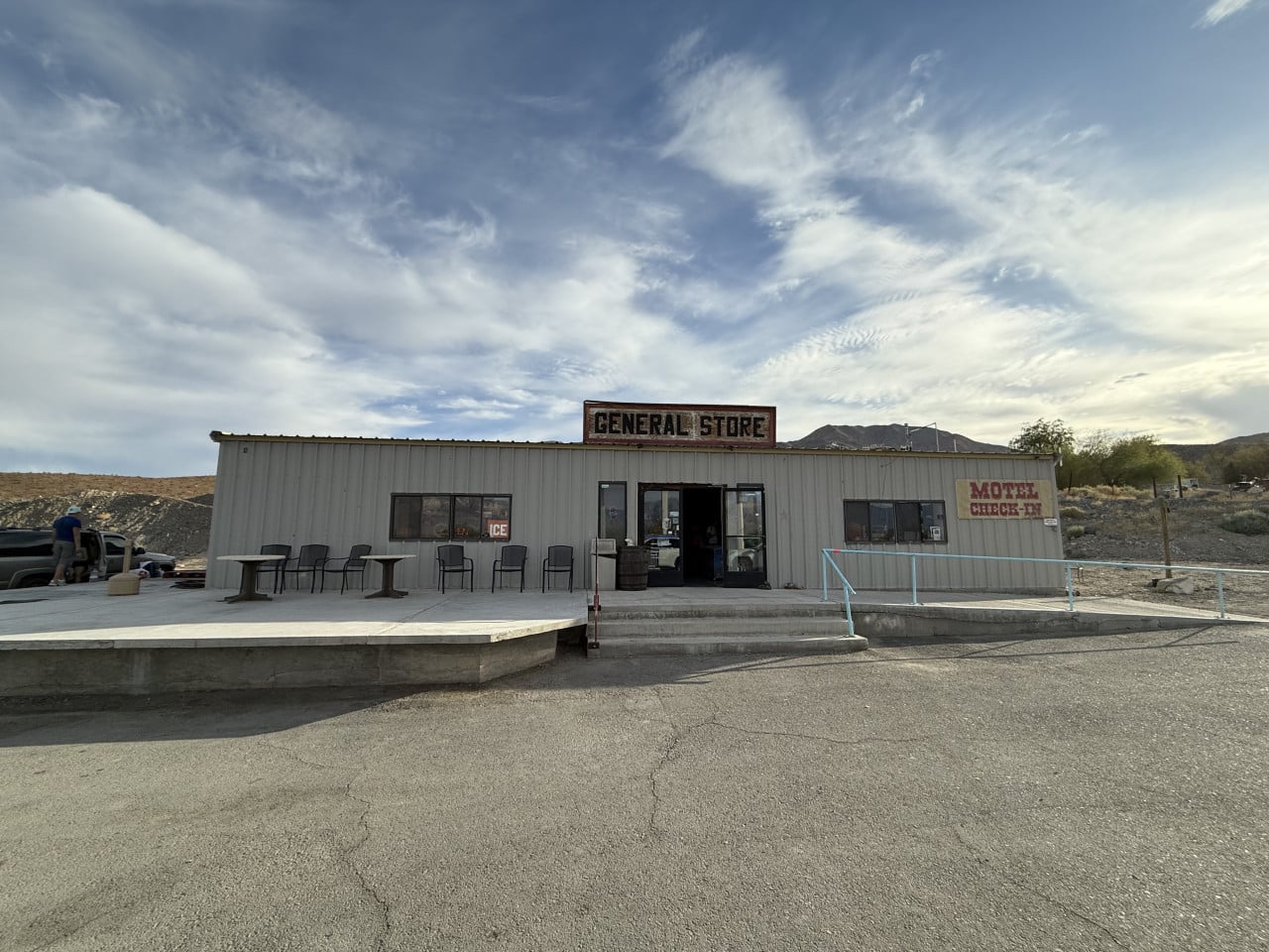
We continued farther into the park and stopped at the General Store – a small shop with an adjoining motel, one of the few places in all of Death Valley where you can refuel and buy basic supplies.
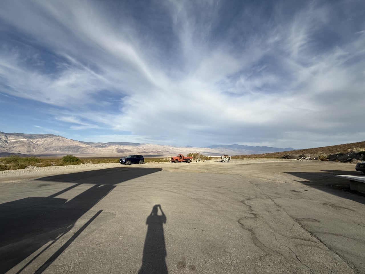
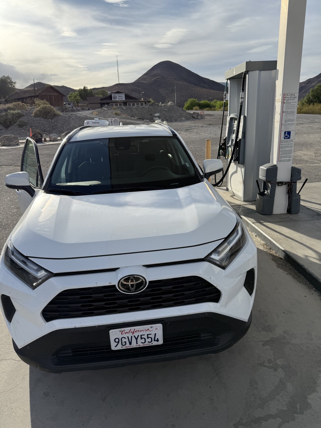
Gas is understandably more expensive here than at regular gas stations – but that is the price you pay for being in the middle of the desert, with absolutely nothing for dozens of kilometers around. My advice is simple: fill up whenever you have the opportunity. In national parks like this, you never know when you will come across the next gas station, and running on empty in fifty-degree heat is not something you want to experience.
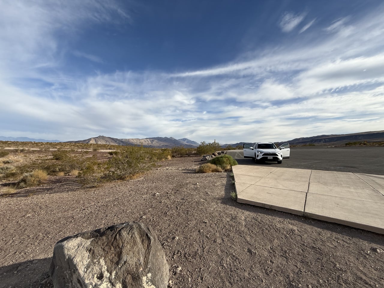
We filled up our white Toyota RAV4 and continued east.
Stovepipe Wells – an oasis in the heart of the desert
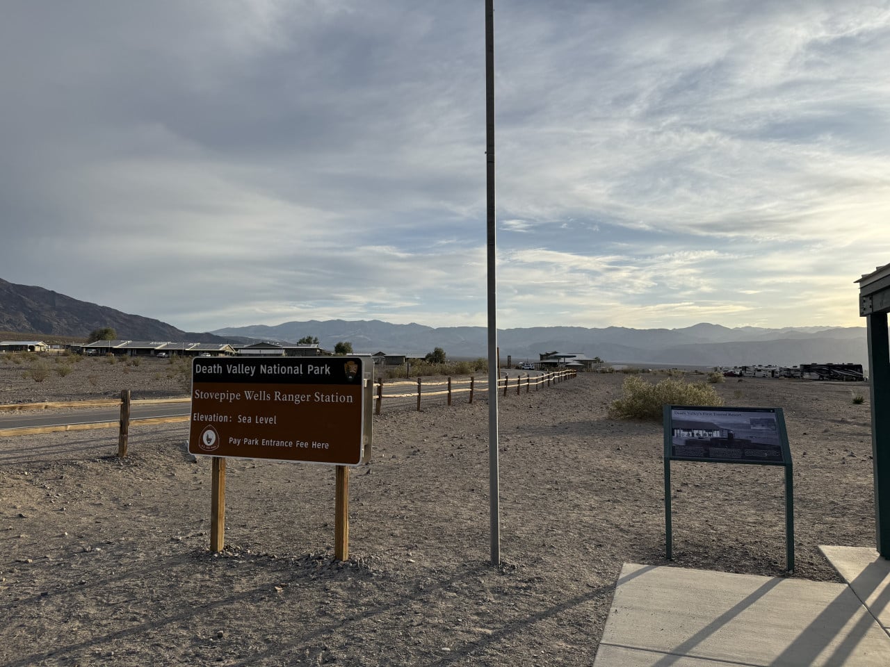
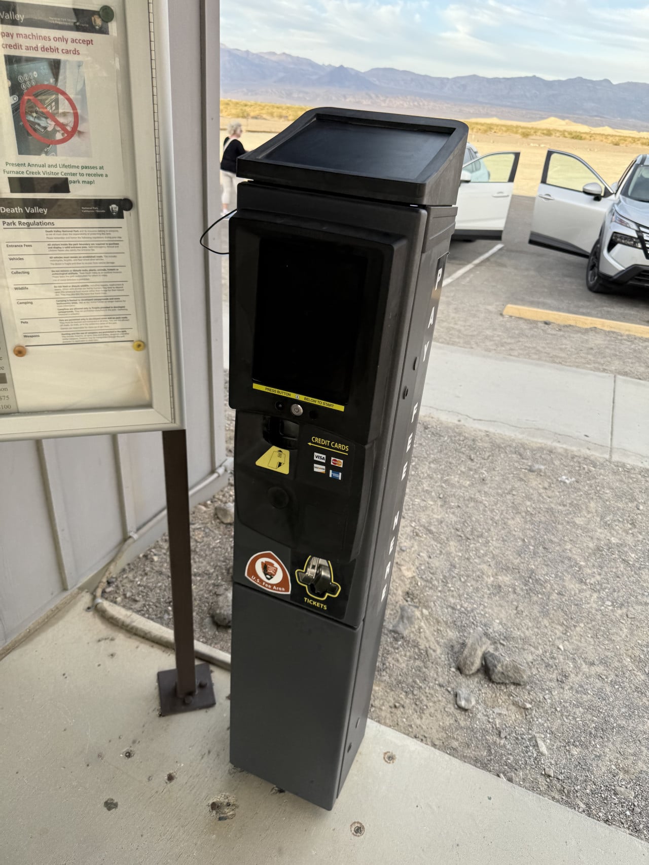
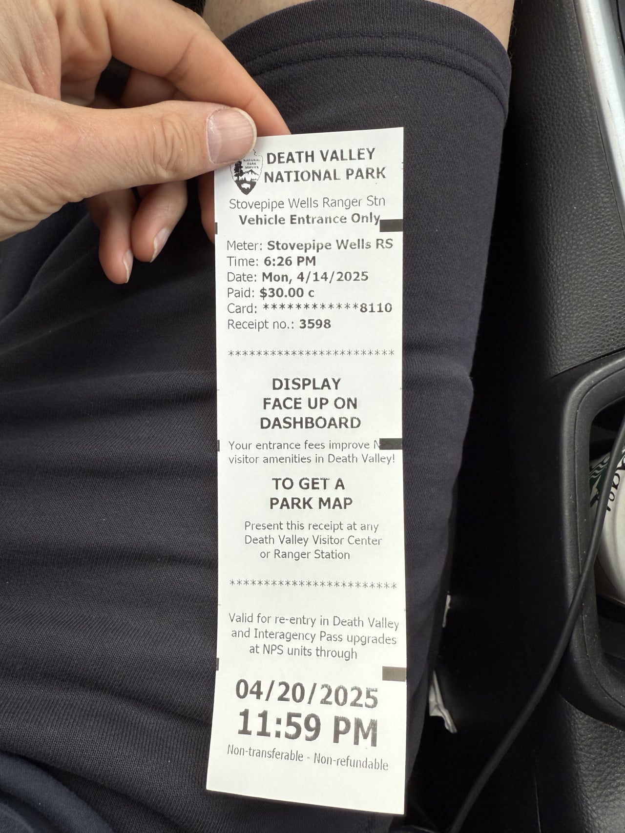
Another important stop on our journey was the Stovepipe Wells area, where we also paid the park entrance fee – 30 dollars per vehicle, valid for seven days.
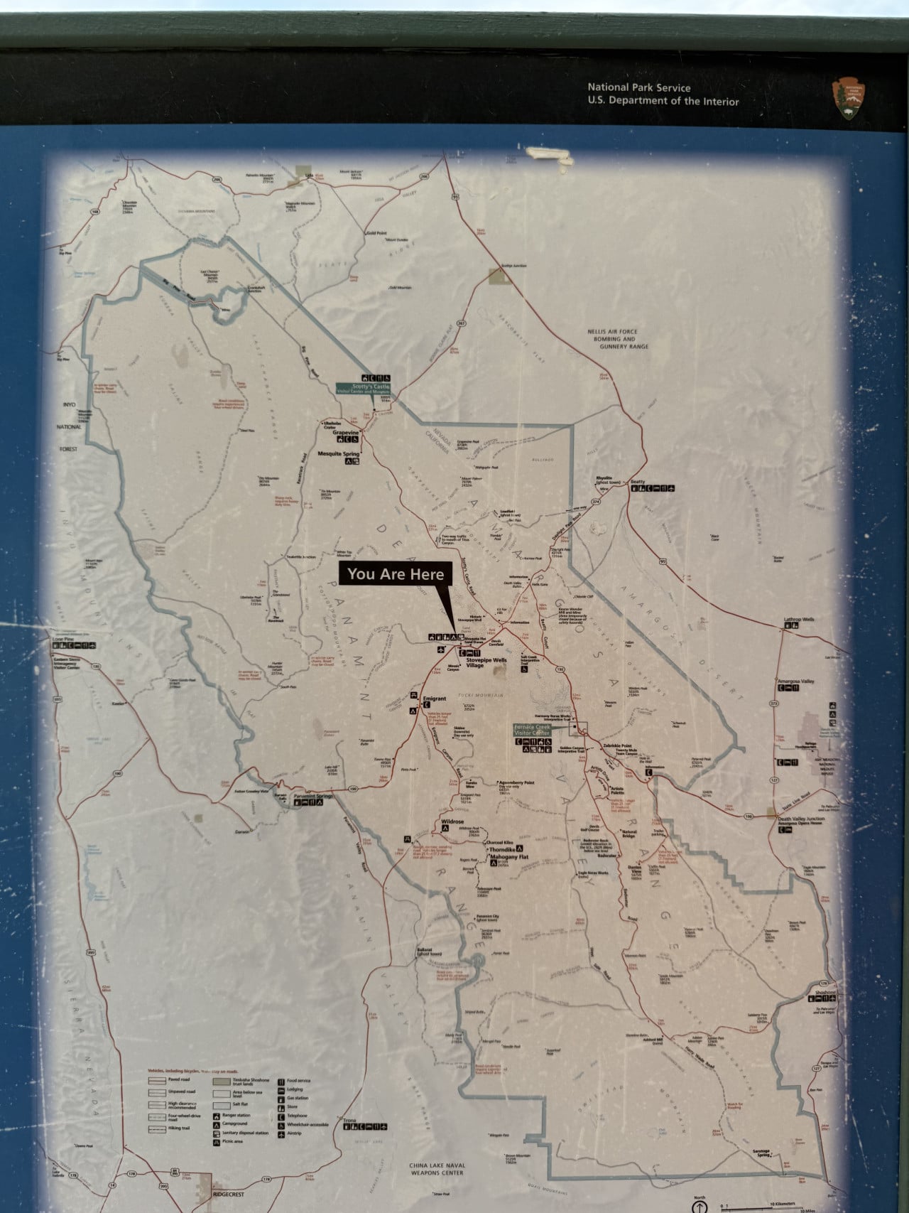
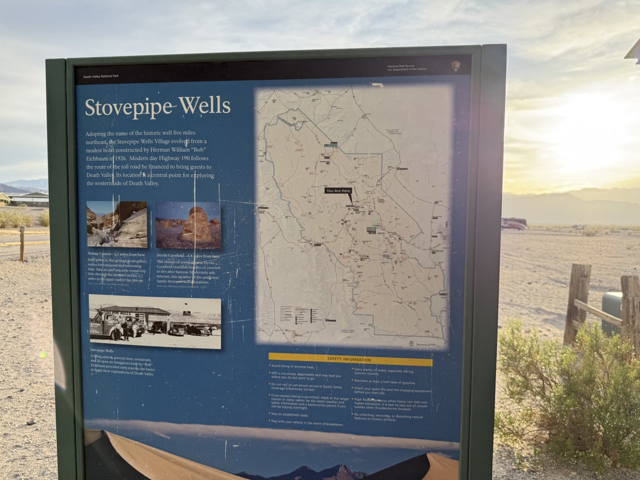
Stovepipe Wells Village is a settlement that grew out of a small hotel built by Herman William “Bob" Eichbaum in 1926. Eichbaum was a visionary who financed the construction of a toll road into Death Valley at his own expense, making the valley accessible to tourists. Today's Highway 190 follows the route of his original road. Stovepipe Wells became a central base for exploring the western part of Death Valley, and you can still find accommodation, a restaurant, a gas station, and a ranger station here today.
The name “Stovepipe Wells" comes from a historic well located approximately eight kilometers to the northeast. The well was marked with a stovepipe to make it easier for travelers to find in the desert – in an era when finding the right water source could mean the difference between life and death.
Mesquite Flat Sand Dunes – desert dunes straight out of a movie
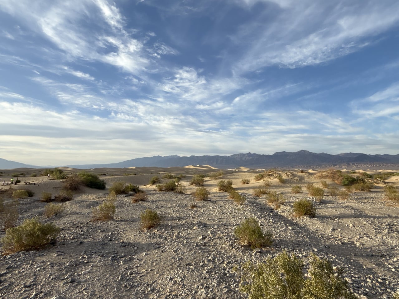
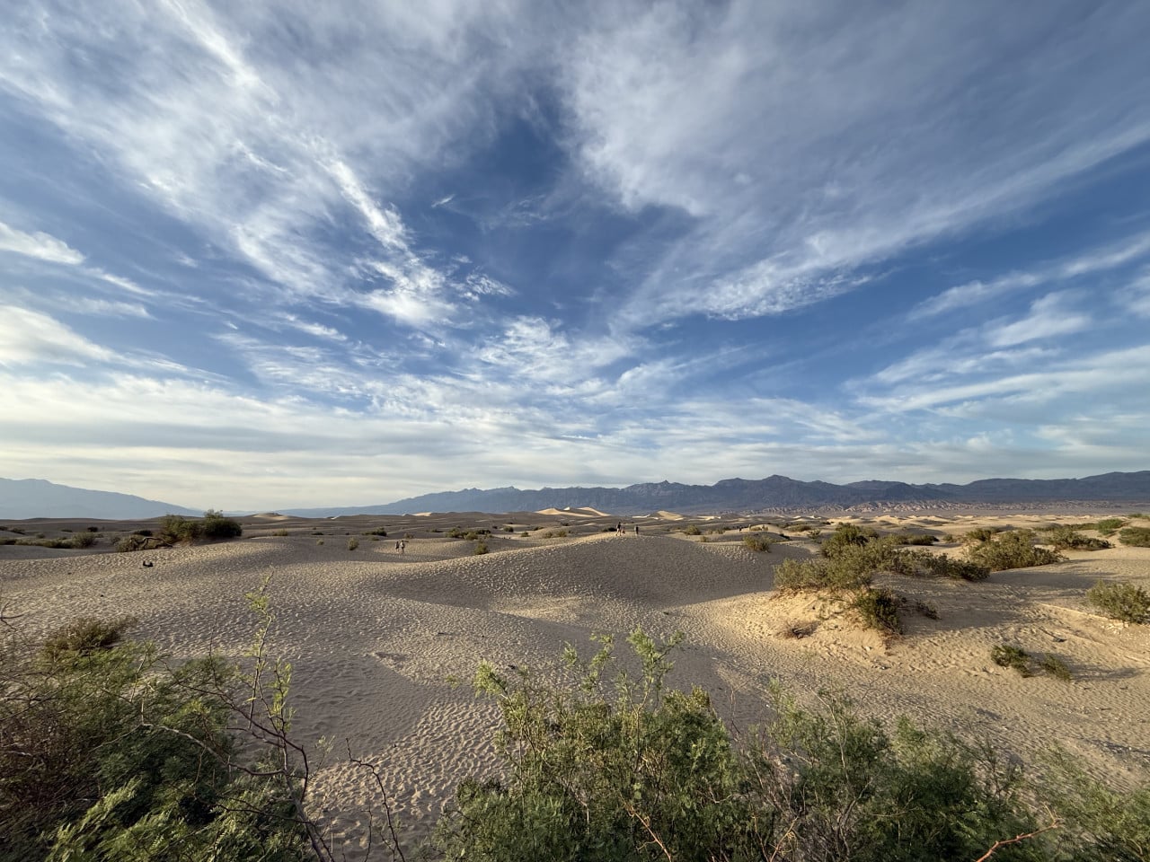
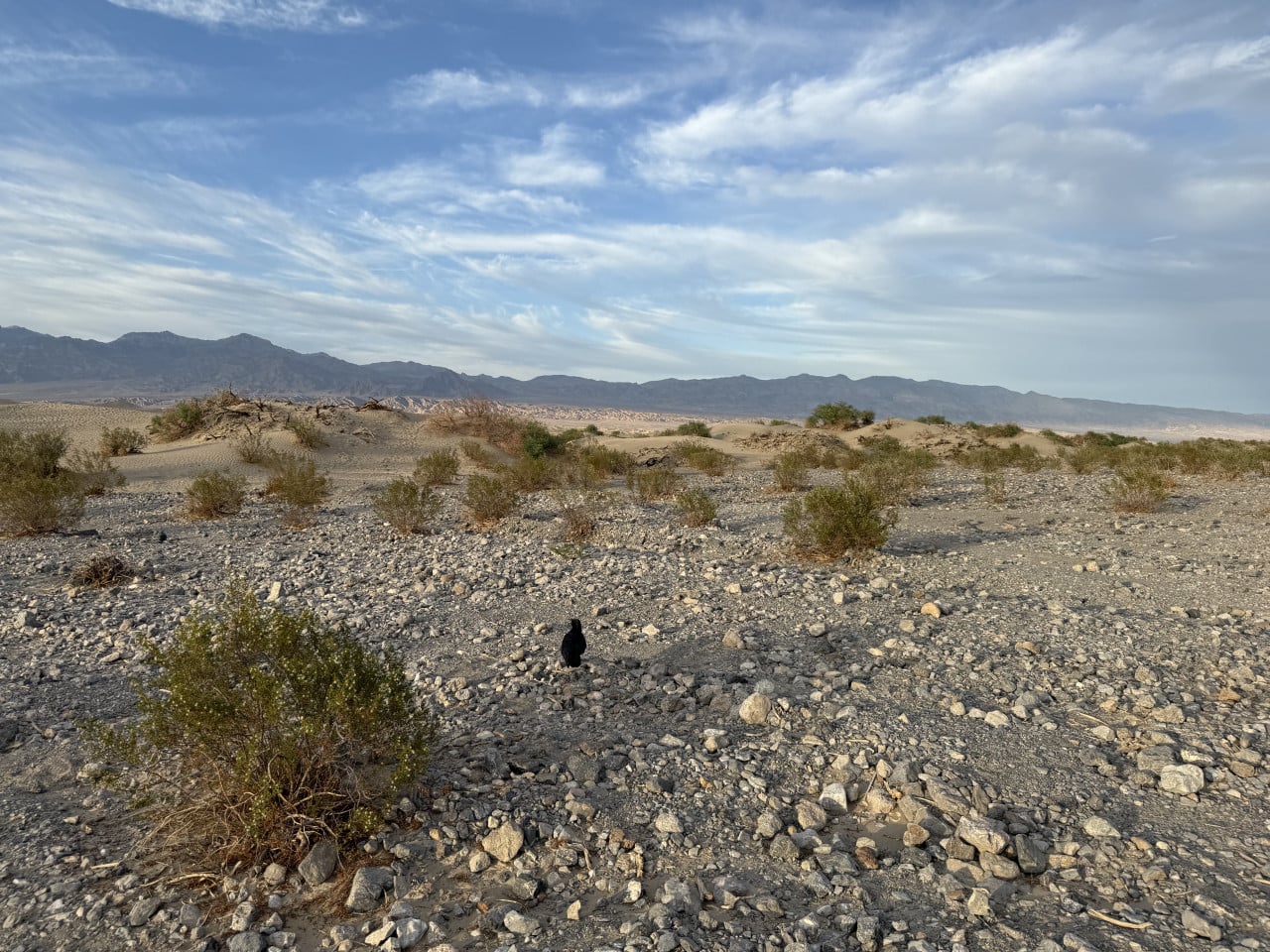
Just a short distance from Stovepipe Wells are the Mesquite Flat Sand Dunes – sand dunes that form one of the most iconic landscapes in the entire park. And this was exactly where we experienced one of the most beautiful moments of the whole trip.
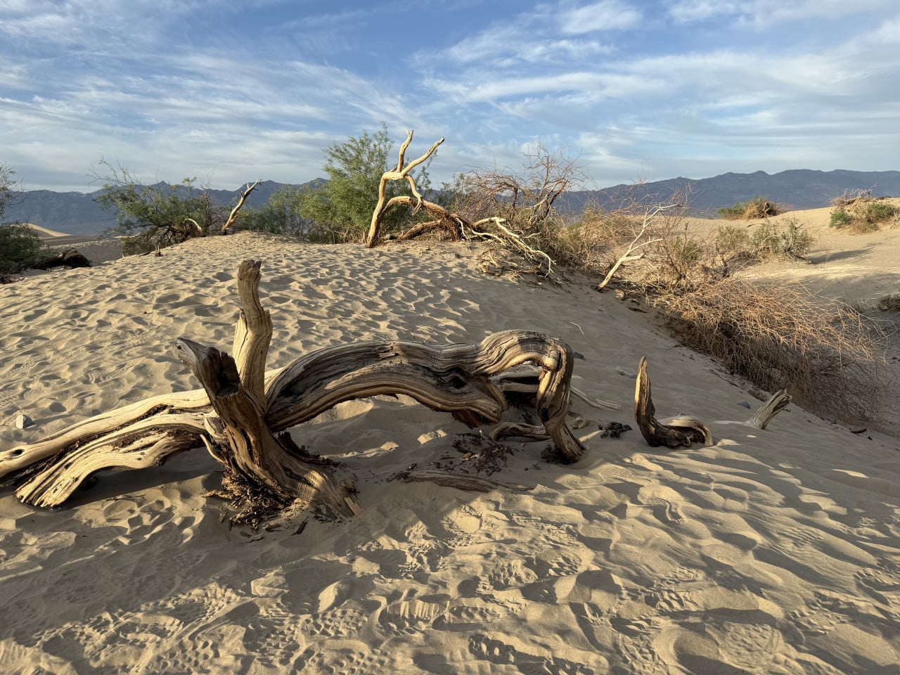
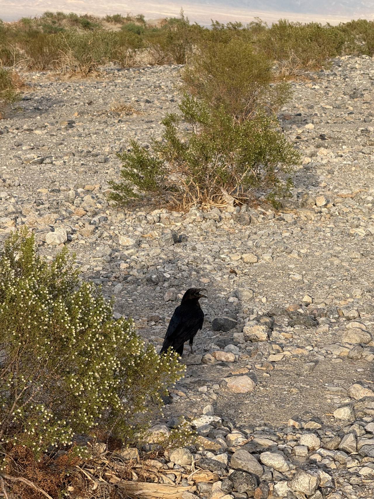
The dunes are not especially huge, but their composition makes them beautiful. Dry, bleached tree trunks rise from the sand, creating almost artistic compositions – as though someone had deliberately arranged them there. The sand is fine and warm, glowing in golden hues in the late-afternoon light. The silhouettes of mountains loom in the background, with a sky overhead that transitions from blue to orange.
I spent some time roaming the dunes, watching the birds circling above us and observing the sunset. The entire atmosphere was absolutely magical – peace, silence, and the feeling that you were at the very end of the world.
Incidentally, these dunes were one of the locations where scenes from Star Wars were filmed. When you stand there, you understand why.
What was mined in Death Valley
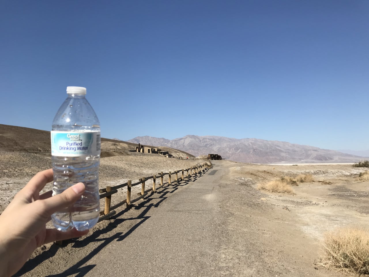
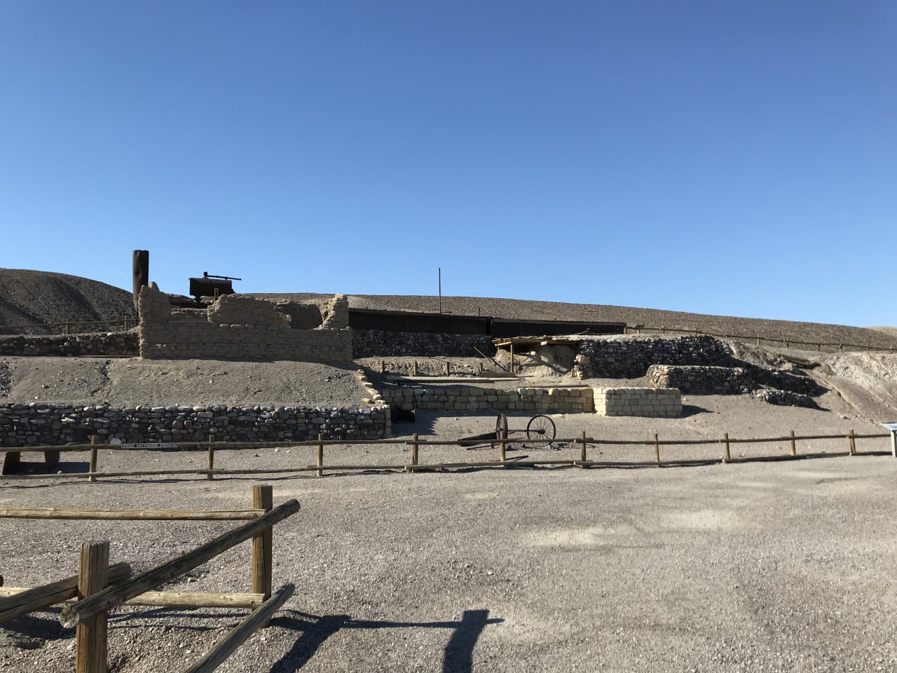
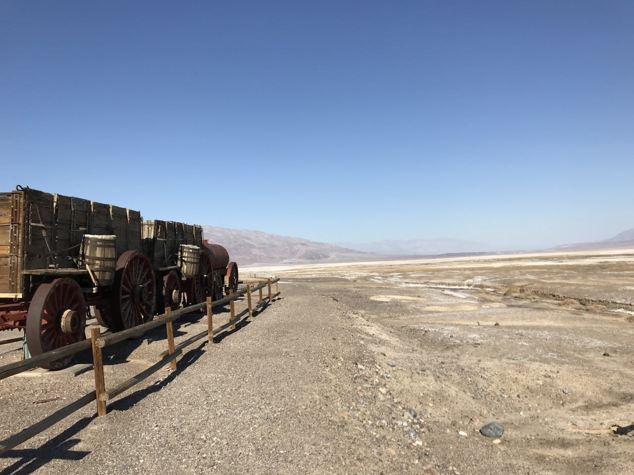
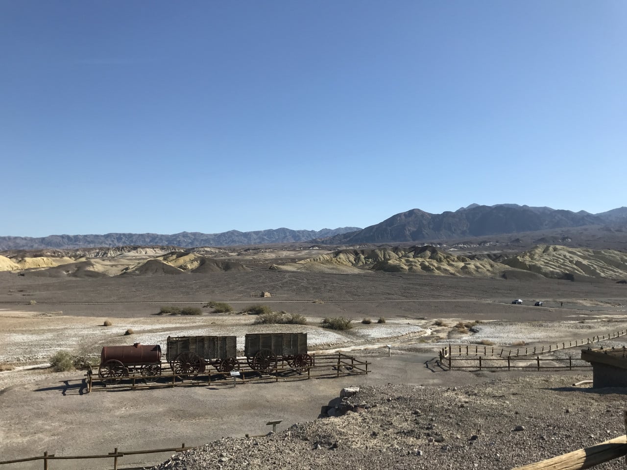
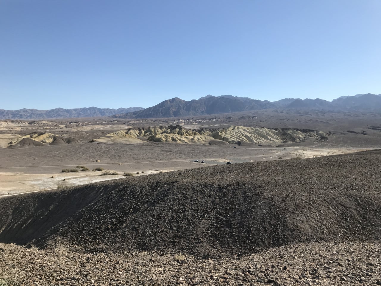
As you drive through Death Valley, you will notice remnants of old mining operations – abandoned tracks, rusty wagons, and the remains of buildings. All of this is a legacy of the turbulent history of borax mining, which made the valley famous in the late 19th century.
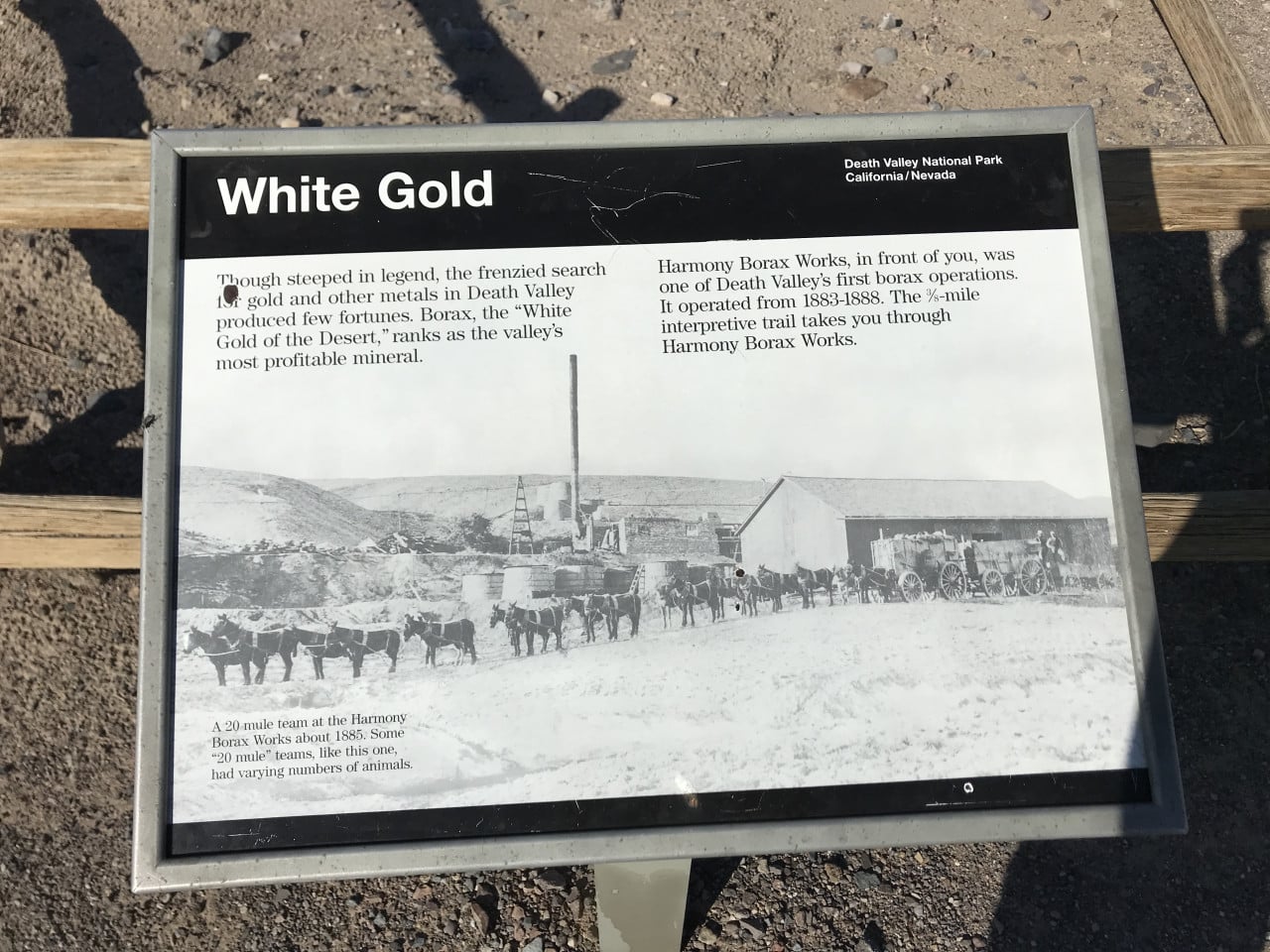
Borax – a mineral used in ceramics, gold processing, and later as a cleaning agent – was discovered in Death Valley in 1881 by Aaron and Rosie Winters. Entrepreneur William T. Coleman subsequently built the Harmony Borax Works processing plant and began mining in 1883.
The greatest challenge, however, was not the mining itself, but transporting the borax from the valley to the nearest railroad line in Mojave, 265 kilometers away. This was accomplished by the legendary “twenty-mule teams" – caravans consisting of two enormous wagons and one water tank, pulled by eighteen mules and two horses. The total weight of the load exceeded 36 tons, and each journey took ten days.
Over six years of operation, the teams transported more than 9,000 tons of borax without a single wagon breaking down. The iconic image of the twenty-mule team became a symbol of the entire borax industry and can still be found on packages of 20 Mule Team Borax cleaning products today.
Mining at Harmony Borax Works ended in 1888 when Coleman's business went bankrupt. But the borax industry in the region continued for decades – mining gradually shifted to more accessible locations until it was eventually replaced by modern mines.
Sunset and the journey to Death Valley Junction
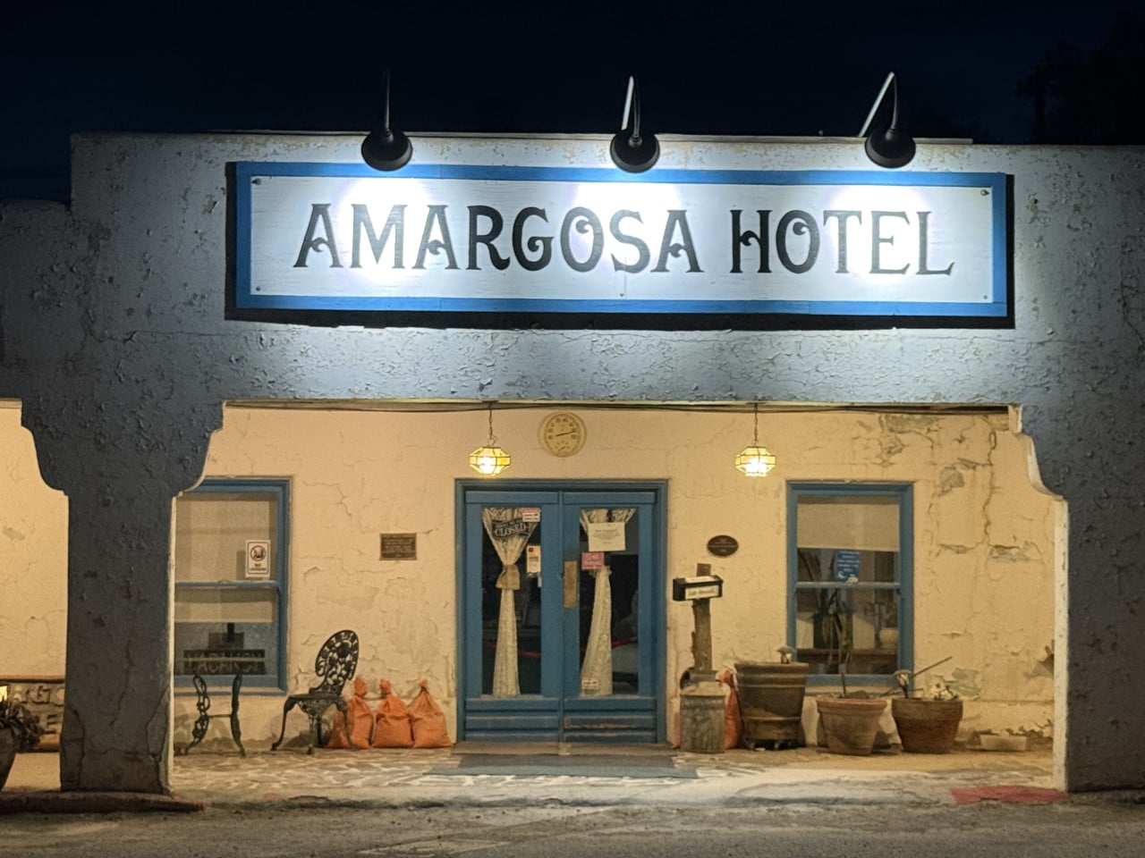
After visiting the dunes, we continued east. I had originally wanted to stay overnight at the Amargosa hotel, but my daughter did not want to – but more about that next time.
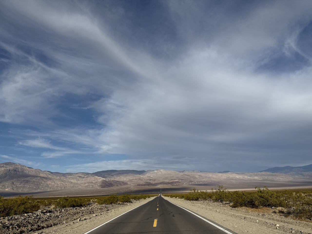
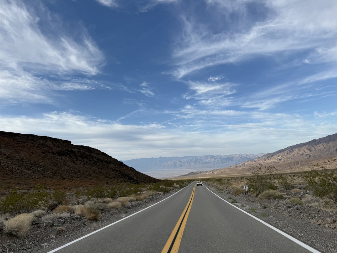
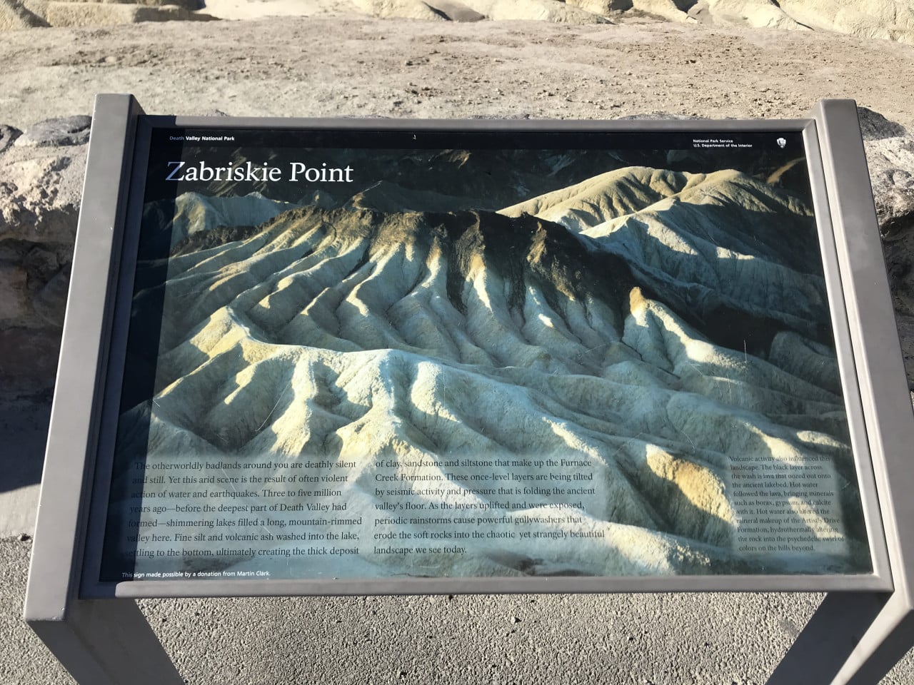
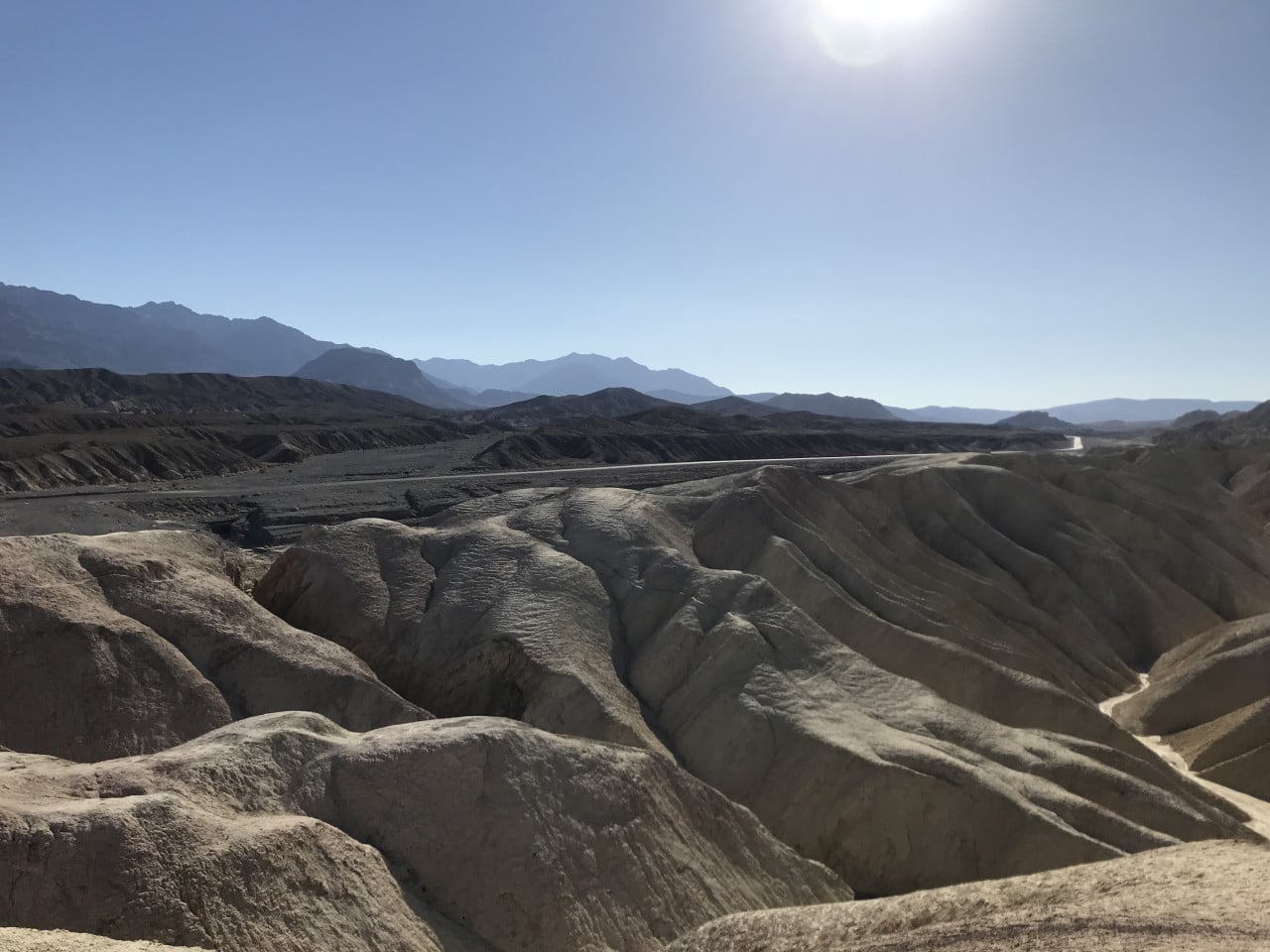
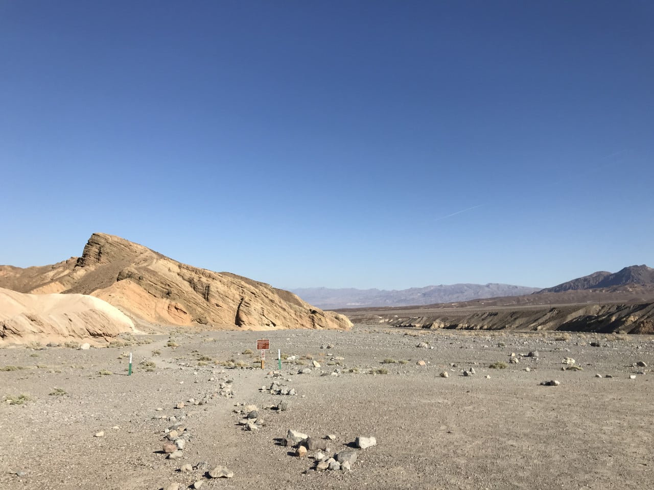
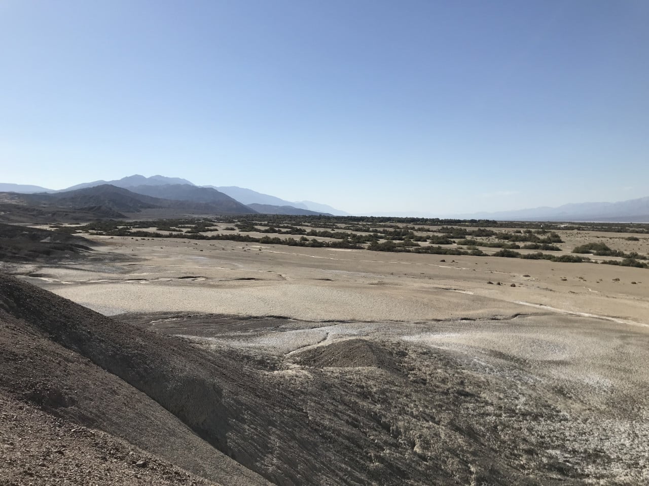
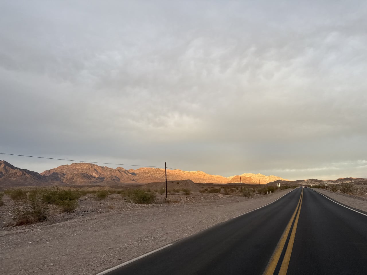
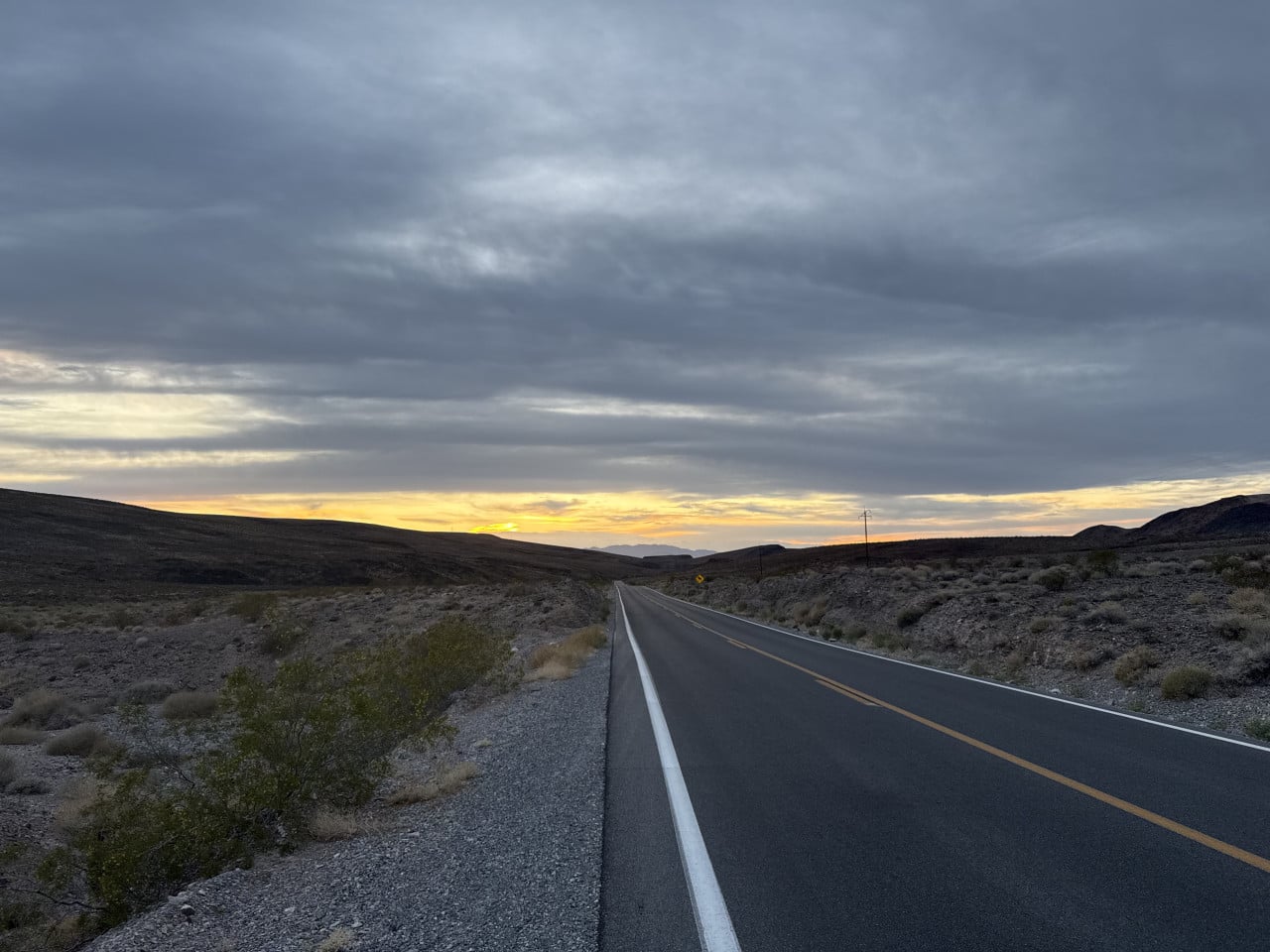
What fascinated me, however, was the journey itself. The road winds through the desert landscape, past mountains with wrinkled slopes and across vast valleys where you do not encounter another soul. There were almost no other cars. We occasionally stopped to take photos – and once, a man pulled up behind us who had no idea where he was supposed to go. So I gave him directions, and we carried on.
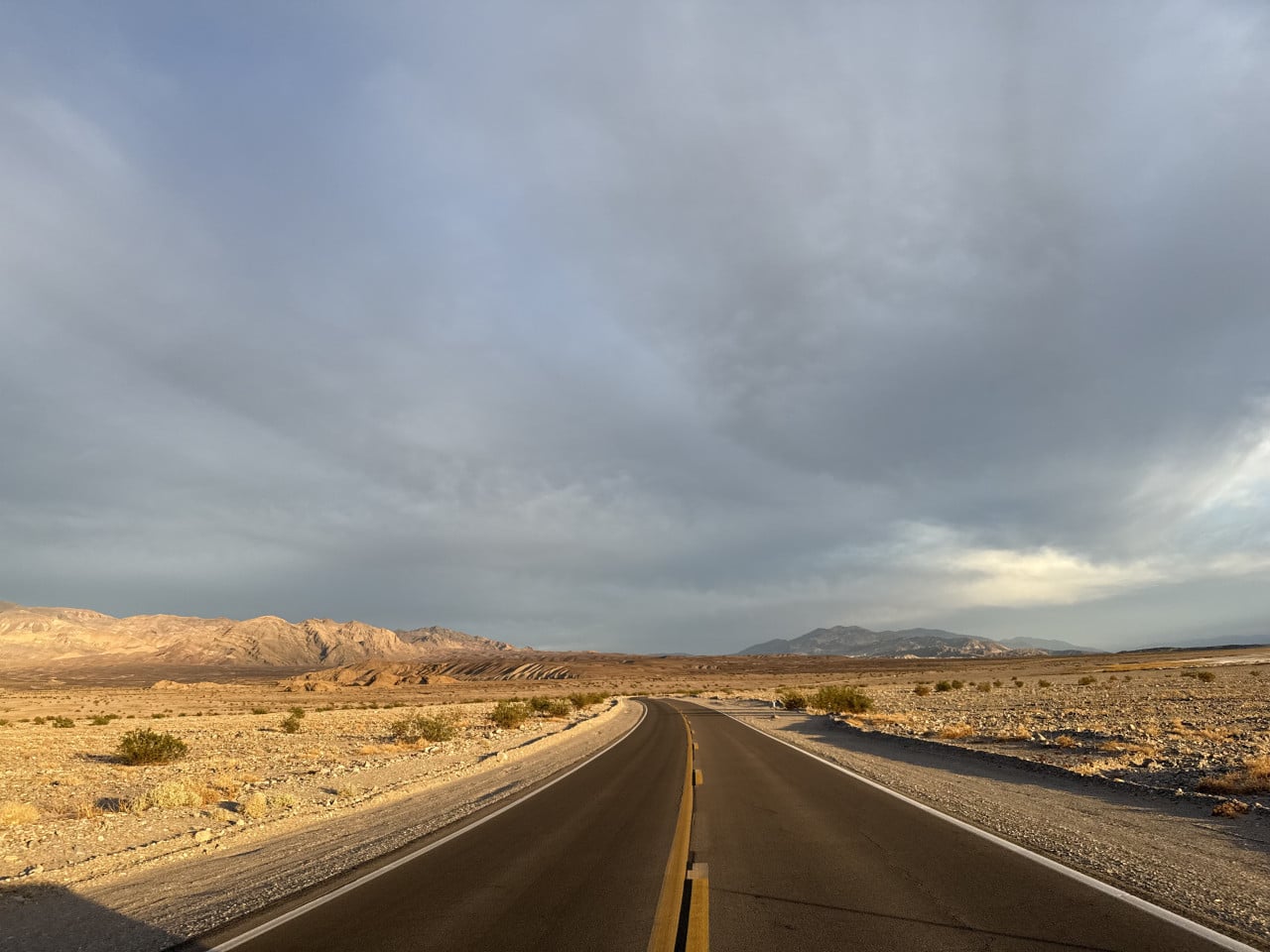
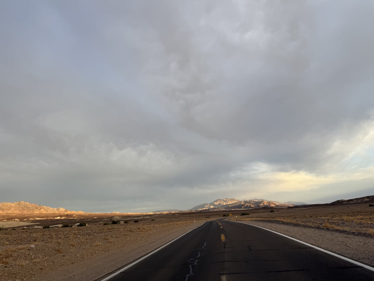
The sunset that day was absolutely breathtaking. The sky above the desert shifted from orange through pink to deep purple, and the entire scene, with the empty, straight road disappearing into infinity, looked like something from a movie. On the car's navigation system, we could see ourselves slowly heading toward Death Valley Junction, but the journey took much longer than I had expected.
No signal, but not disconnected
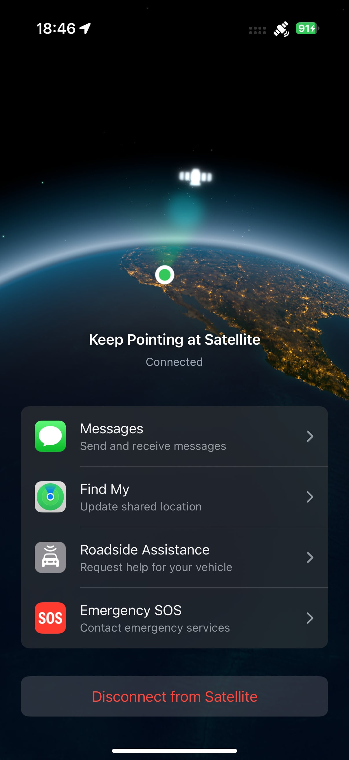
Of course, there is no cell signal in Death Valley – no tower, no data, nothing. But what pleasantly surprised me was the iPhone feature that enables a satellite connection. In the United States, this allows basic services to work even in areas with absolutely no signal – emergency SOS calls, location sharing via Find My, messages, and even requesting roadside assistance.
I tried it myself, and it works. The phone guides you to point it at a satellite, and once you connect, a basic menu with options appears. For travel in remote areas of the United States, this is an absolutely essential feature, giving you a sense of security even when you are in the middle of nowhere.
In conclusion: Death Valley is worth visiting
Death Valley is a place that makes you realize just how small we humans really are. The vastness, the silence, the colors – none of it can be described in words or photographs. You have to experience it.
I had already been here several times, and each time the place captivates me in a different way. This time, it was mainly about the dunes, the sunset, and the feeling of complete freedom on an empty road in the middle of the desert.
If you are planning a trip to Death Valley, here are a few practical tips:
The journey from Los Angeles takes approximately 4.5 to 5 hours and covers roughly 260–300 km, depending on the route. Driving through the park itself from west to east (or vice versa) takes at least 2 hours of nonstop driving, but allow an entire day if you want to see the main attractions. Park admission is 30 dollars per vehicle and is valid for seven days. Fill up whenever you have the opportunity – gas stations are rare and expensive in the park. There is no cell signal in the park, but newer iPhones enable emergency satellite communication. The best time to visit is from October to April, when temperatures are bearable.
And one more thing – do not leave cameras on radiators in restaurants. Trust me, I know what I am talking about.