While traveling through the western United States, we visited the town of Page, Arizona, and nearby Horseshoe Bend—one of the most photogenic natural landscapes in all of America. And honestly? Even though this was my third visit, it blew me away once again.
The Town of Page—Gateway to Arizona’s Natural Wonders
Page is a small town in northern Arizona with around 7,500 residents that probably no one would know about if it weren’t for the surrounding natural attractions. Interestingly, Page did not actually develop naturally—the town was founded in 1957 as a workers’ settlement for those building the enormous Glen Canyon Dam on the Colorado River. The U.S. Bureau of Reclamation acquired the land for the town through an exchange with the Navajo Nation—the Navajo received a parcel of land in Utah and, in return, provided 17 square miles on Manson Mesa.
Originally, the town was simply called “Government Camp.” It was later named after John C. Page, a former commissioner of the Bureau of Reclamation. The first workers moved here on Thanksgiving in 1957, and by 1961 Page already had 6,000 residents, making it the tenth-largest city in Arizona. After the dam was completed in 1966, the population dropped to just 1,500, but the town survived and today relies mainly on tourism.
And it’s no wonder—Page is literally the gateway to some of the most amazing places you will see in America. Besides Horseshoe Bend, the surrounding area is home to the famous slot canyons of Antelope Canyon, the enormous Lake Powell with nearly 3,000 kilometers of shoreline, the monumental Glen Canyon Dam, and the nearby Vermilion Cliffs.
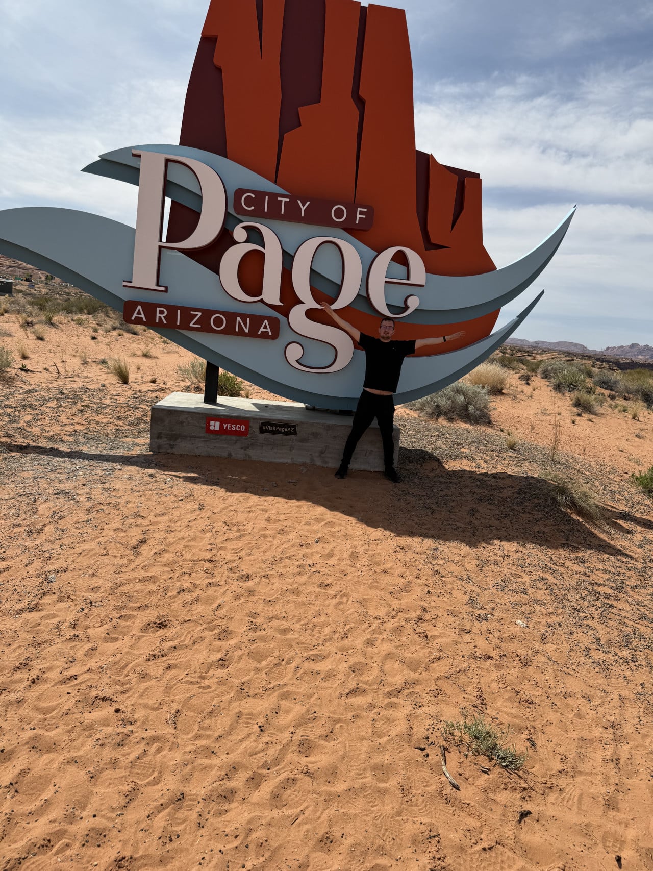
Things to Do in Page
If you visit Page, definitely don’t limit yourself to Horseshoe Bend. The area around the town offers plenty of other activities.
I definitely recommend visiting Antelope Canyon—the famous slot canyon where narrow sandstone walls twist into incredible shapes and, under the right lighting, glow in every shade of orange, red, and purple. There are two sections, Upper and Lower Antelope Canyon, and both are accessible only with a guide from the Navajo Nation. It is best to book tickets in advance, especially during the season from March to October—this is when the famous beams of light penetrate the canyon and create those iconic photos you know from Instagram.
Lake Powell is also worth mentioning, where you can rent a houseboat, kayak, or motorboat and explore dozens of flooded canyons. History enthusiasts can visit Glen Canyon Dam, a 220-meter-high dam and the second tallest in the entire United States after the famous Hoover Dam.
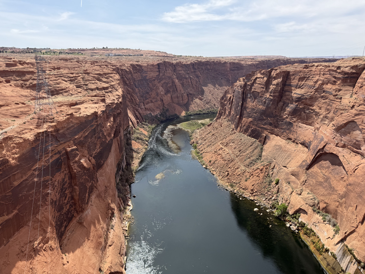
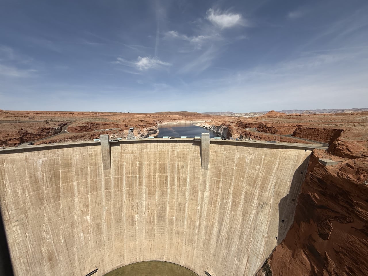
The area is also home to fascinating sandstone features and rock formations resembling caves—they are actually known as alcoves, natural recesses in the rock formed by sandstone erosion. They look almost like caves, but they have no back wall—they are open and look beautiful, especially at sunset, when the sandstone appears to be literally on fire. The entire landscape is saturated with the red color of Navajo sandstone, making it a true feast for the eyes.
Arriving at Horseshoe Bend
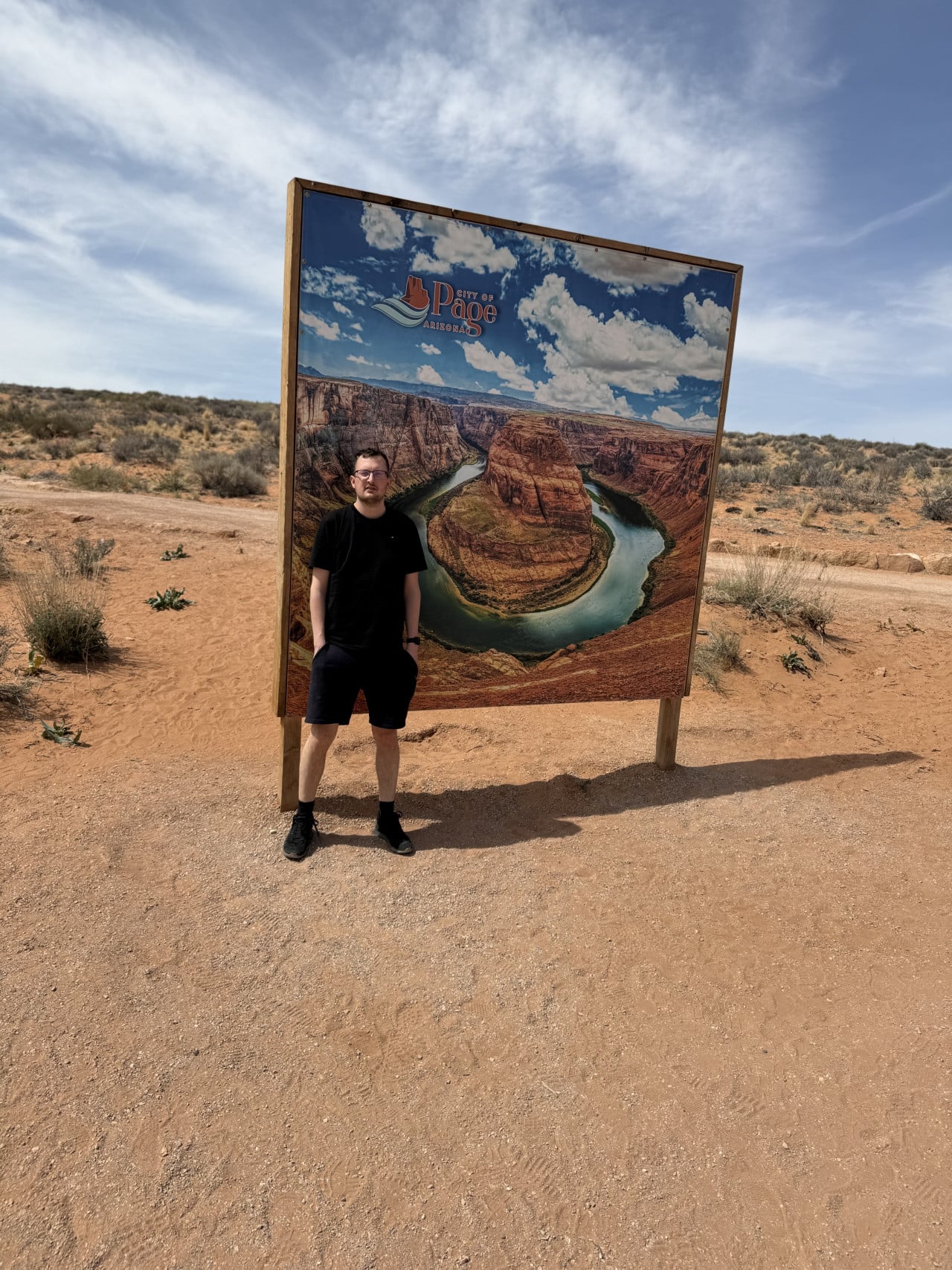
We arrived at the Horseshoe Bend parking lot, where there was a nice photo wall featuring an image of the famous horseshoe and the City of Page logo, which of course you have to take a picture with. It’s a classic—you haven’t seen anything yet, but you already have your first photo.
There is a parking fee—admission costs around $10 per car. It is not particularly expensive, and the money goes toward maintaining the entire site, which is fair.
We set off along the trail with the other visitors. There were quite a lot of people there this time, which did not surprise me—Horseshoe Bend attracts more than 2 million tourists a year, and its popularity has grown enormously in recent years thanks to social media.
I first came here a few years ago and wanted to show it to my friend and daughter, so we went to see it again. And honestly—it is always worth seeing. Even on my third visit, I absolutely loved it.
What Exactly Is Horseshoe Bend?
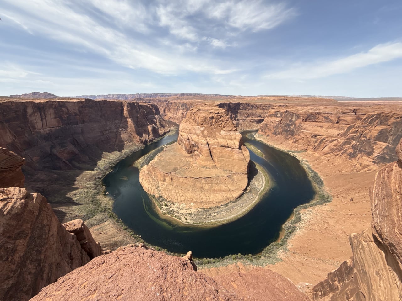
Horseshoe Bend is a huge horseshoe-shaped meander of the Colorado River located about 8 kilometers from the town of Page. It is sometimes nicknamed the “eastern rim of the Grand Canyon” because geologically it is directly connected to the Grand Canyon—the Colorado River continues from here, and the Grand Canyon itself begins about 15 kilometers downstream.
The figures are truly impressive. The viewpoint sits at an elevation of approximately 1,300 meters above sea level, while the Colorado River below flows at around 1,000 meters above sea level. This means the elevation difference—the sheer drop from the cliff edge down to the river—is roughly 300 meters. Three hundred meters. That is like the Žižkov Television Tower with a little extra on top. When you stand at the edge and look down, you realize it pretty quickly.
The river below you is the Colorado—the famous river that also carved the Grand Canyon. At Horseshoe Bend, it makes a sharp 270-degree turn around a massive pillar of Navajo sandstone. The water has a beautiful emerald-green color that contrasts with the reddish-brown canyon walls—the contrast is absolutely breathtaking.
As for how it all formed—around 5–6 million years ago, this area was much closer to sea level, and the Colorado River meandered peacefully across a relatively flat landscape. Then the tectonic uplift of the Colorado Plateau began—an enormous section of the Earth’s crust spanning parts of four U.S. states. The land rose, but the river remained trapped in its channel and began cutting ever deeper into the Navajo sandstone. The result is the dramatic canyon we see today.
Interestingly, geologists predict that one day the Colorado River will break through the narrow neck of rock in the middle of the horseshoe and create a natural bridge, similar to those at Natural Bridges National Monument in Utah. It would then abandon Horseshoe Bend, leaving behind only a cutoff meander. But don’t worry—that will happen in a few million years, so you have plenty of time to see it.
As for boating on the river—yes, you can travel along the Colorado by boat. Both in photos and with our own eyes, we saw boats on the river below—activities such as rafting and kayaking tours are available there. Horseshoe Bend is located only about 8 km downstream from Glen Canyon Dam, so the water here is relatively calm and clear. There are organized boat trips that take you through the canyon directly beneath the viewpoint, which must be a completely different experience—seeing those walls from below instead of above. But I have not done it (yet).
On the Edge of the Abyss
The trail from the parking lot to the viewpoint is about 1.2 km each way (2.4 km round trip), is relatively flat, and can be managed by virtually anyone. The elevation gain is only about 40 meters. It used to look a little different here—a few years ago, there were no railings, and you simply walked right up to the edge. They have now installed metal railings along parts of the viewing platform, adapted the site for larger numbers of tourists, and added shelters along the trail. Horseshoe Bend itself is, of course, still the same—but the surrounding area has been modernized, which is understandable with two million visitors a year.
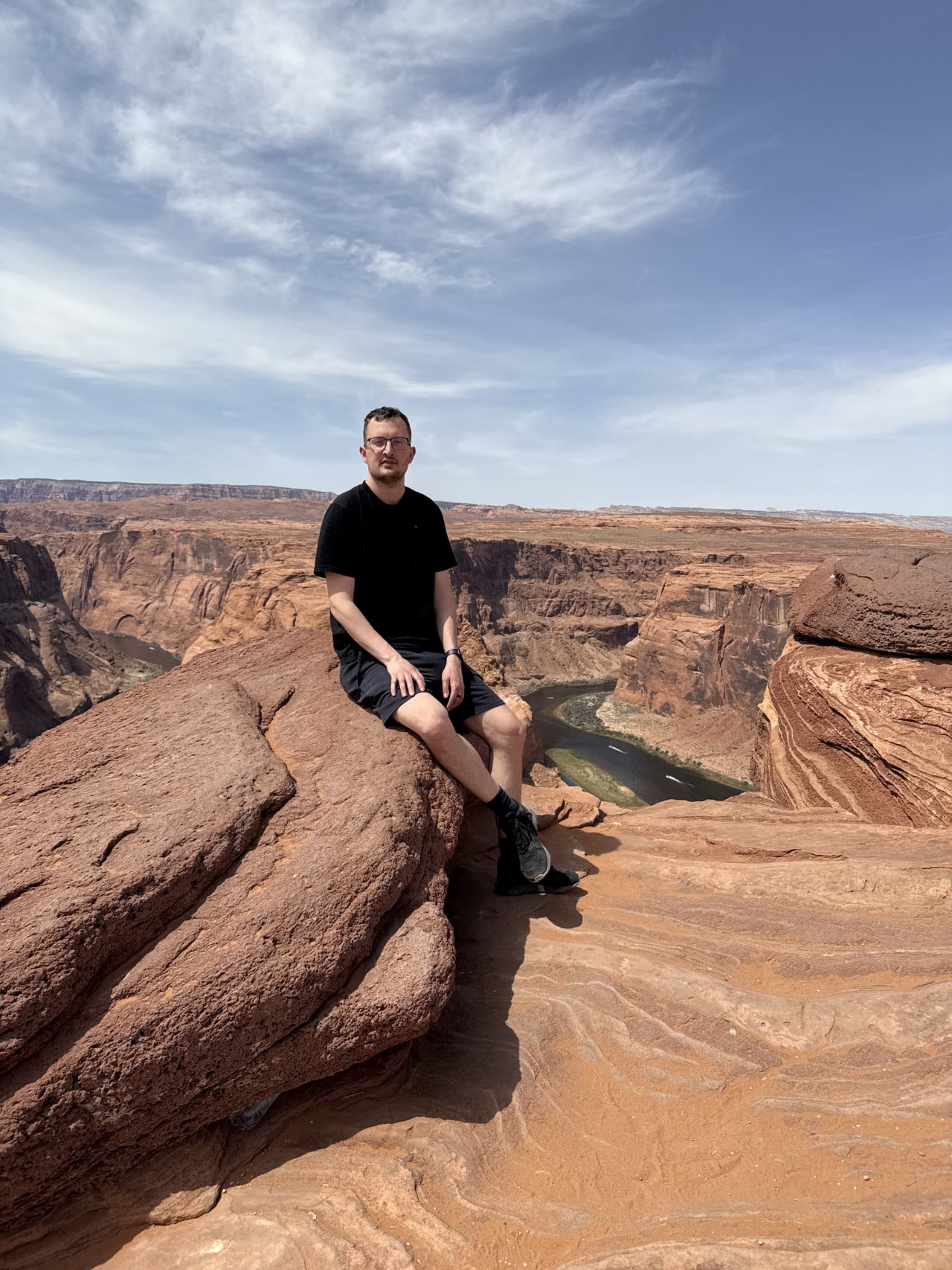
When we reached the edge of the cliff and stood there, the entire horseshoe opened up before me—Horseshoe Bend in all its glory. And it is an absolutely magnificent sight. I don’t think even photos can do it justice—the scale, the depth, the color of the water; none of it can really be captured. You have to see it.
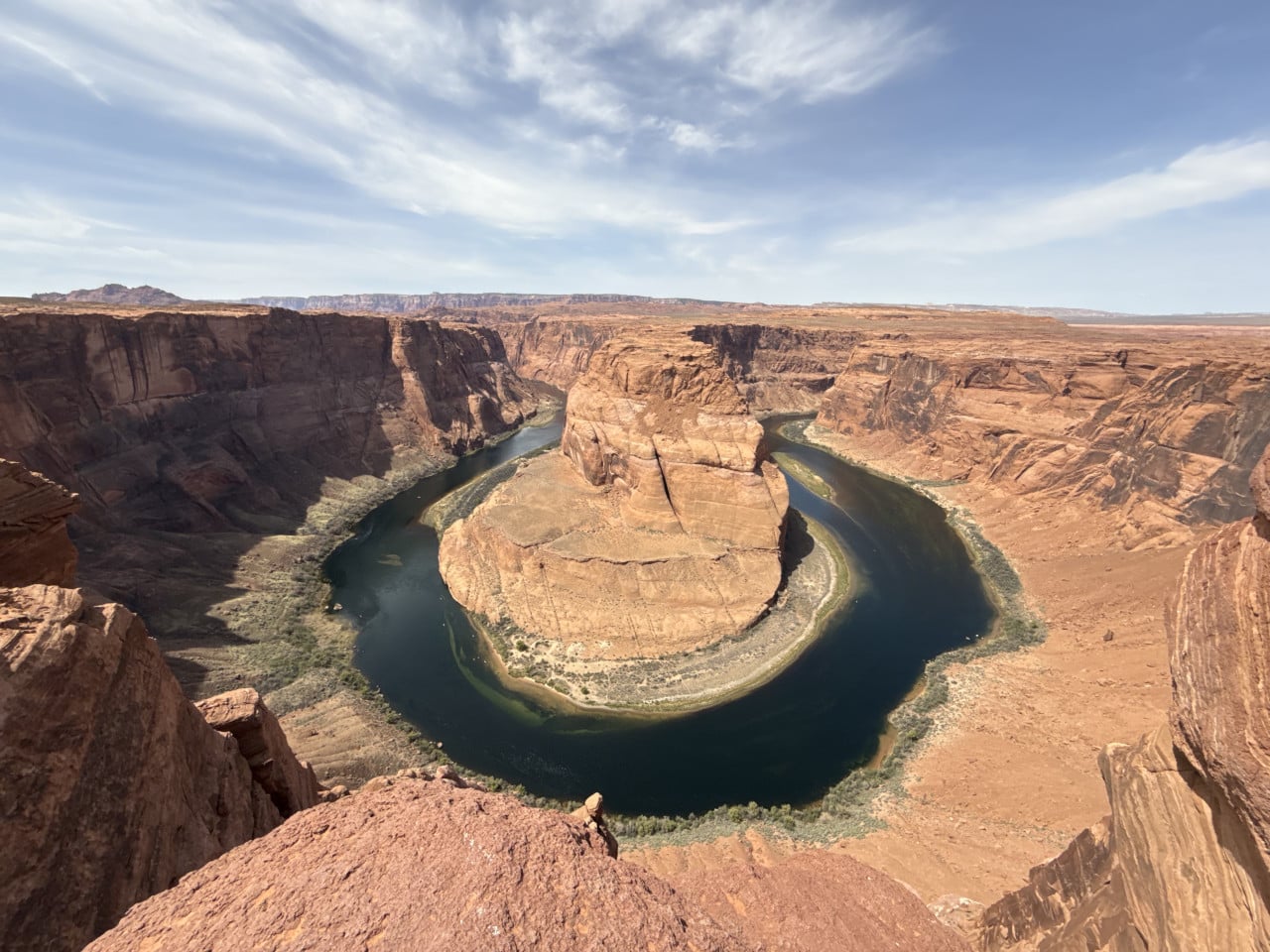
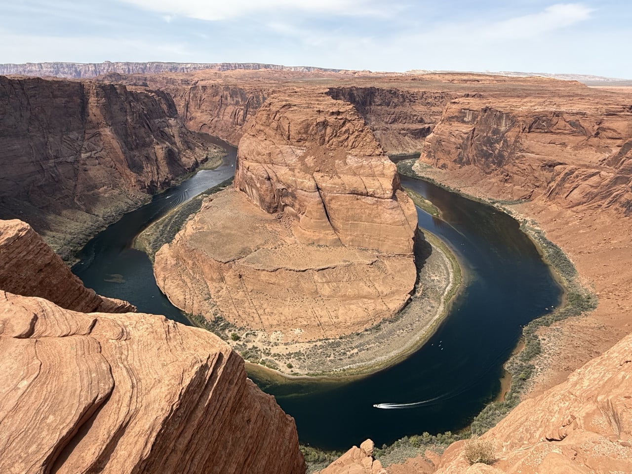
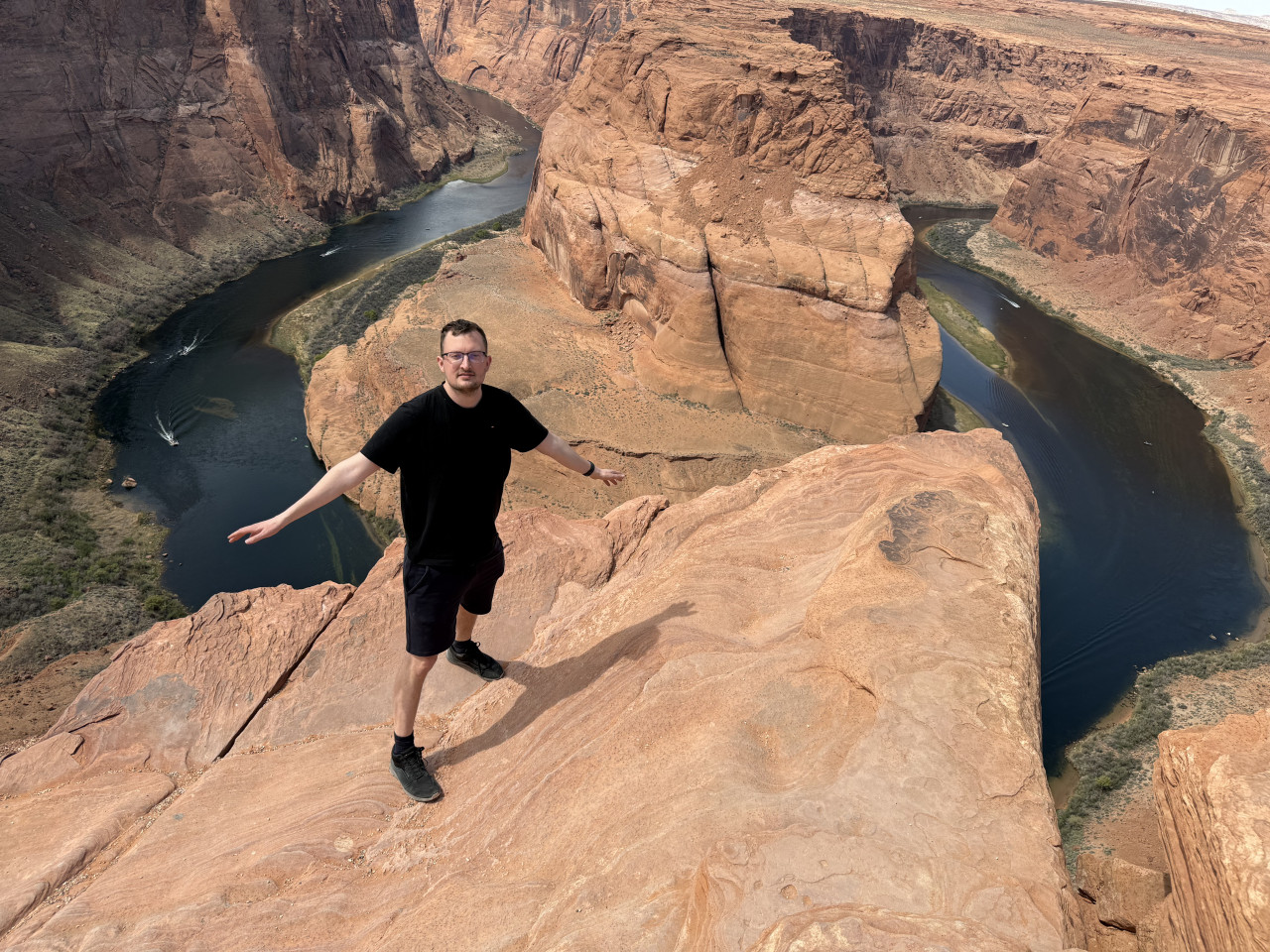
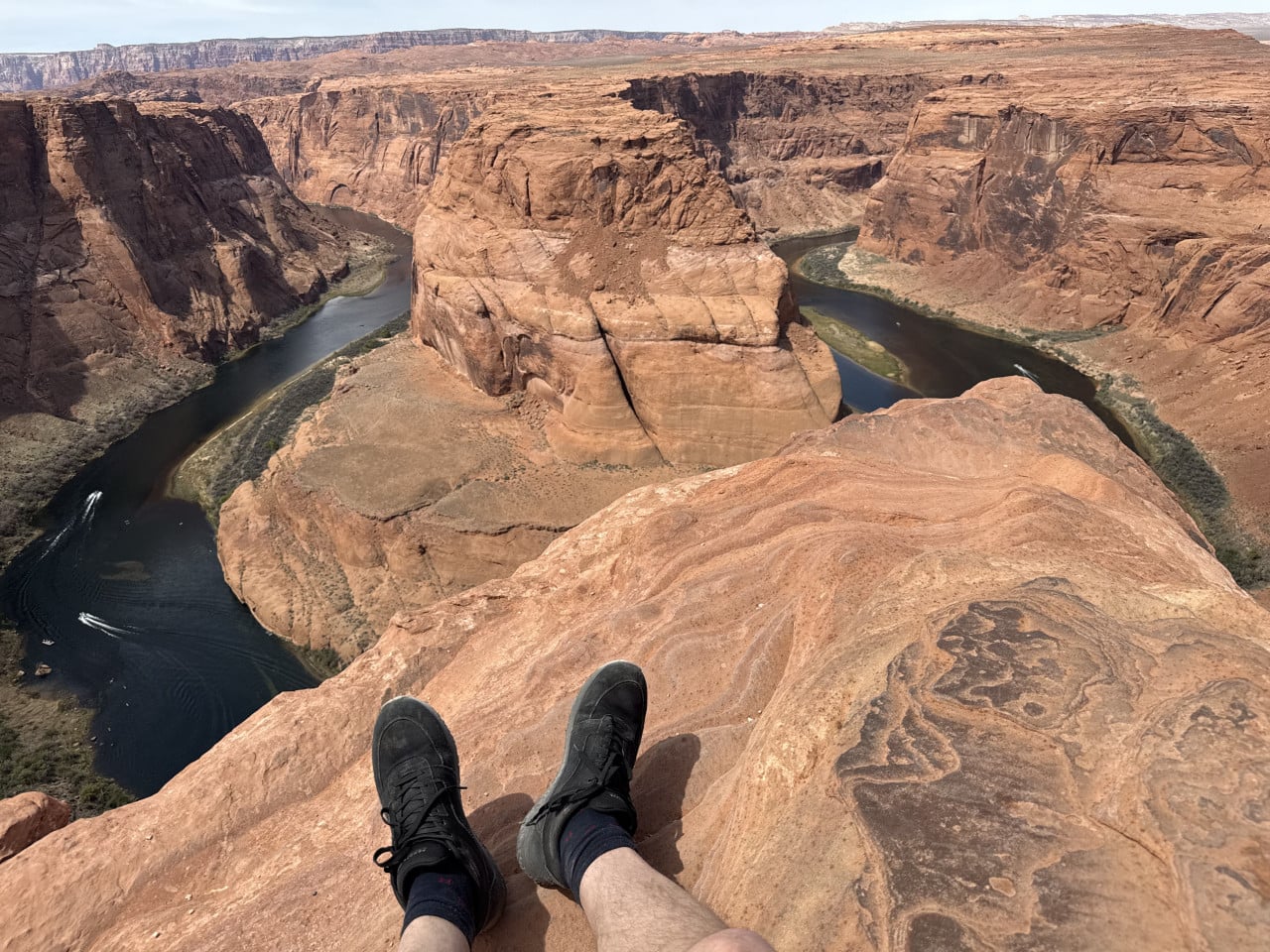
The weather was beautiful, as it almost always is there—I have never experienced bad weather there. The sun was shining, it was warm, and the conditions were simply ideal.
Of course, be careful—it really is a very long way down. That 300-meter drop is no joke. But you can walk right up to the very edge if you are careful. There are rocks where you can stand, sit, or take photos. For the sake of the photos, I naturally stood almost at the very edge—some of the pictures look quite daring, but in reality, if you are careful, it is fine. You simply won’t fall if you don’t do anything foolish.
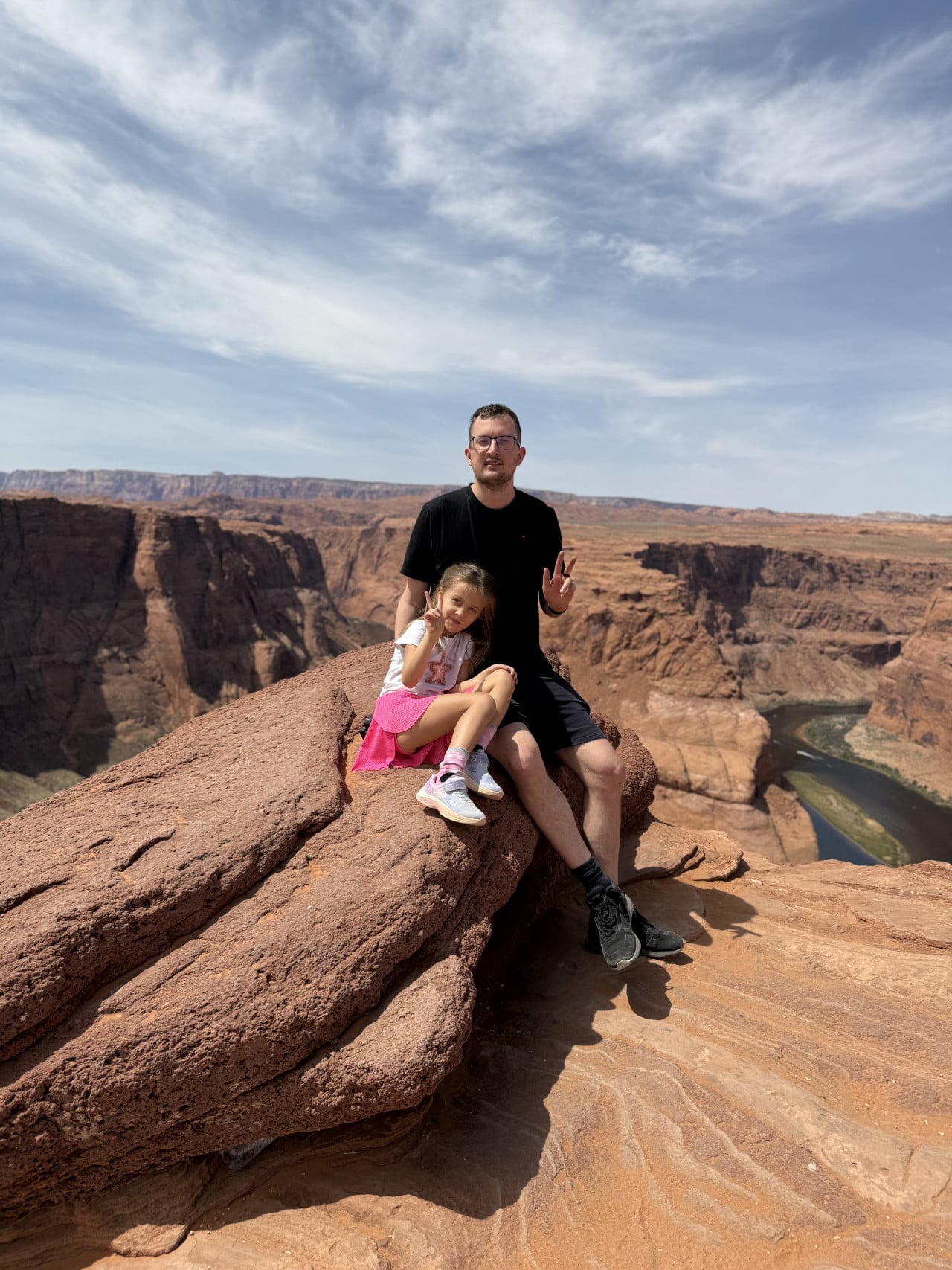
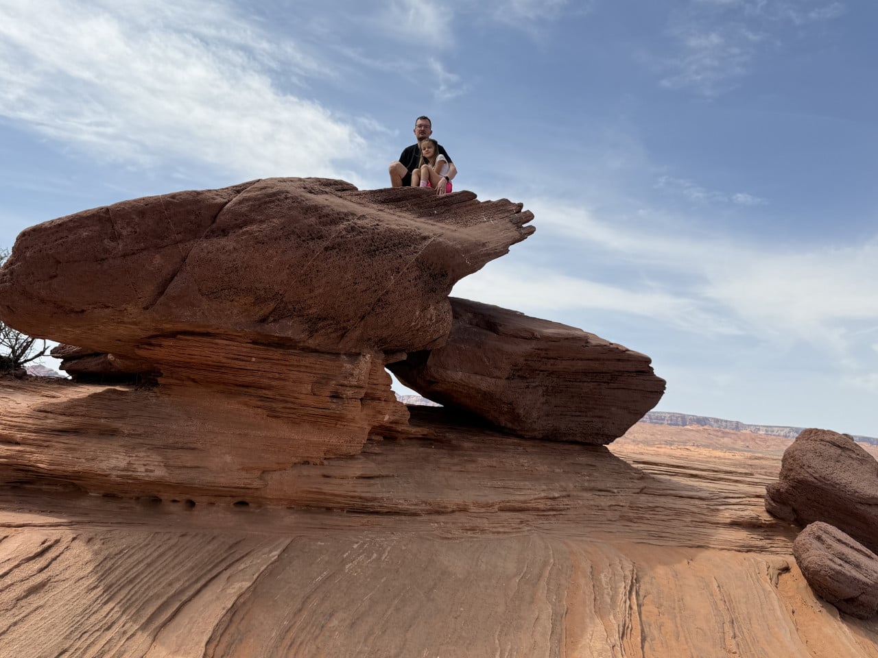
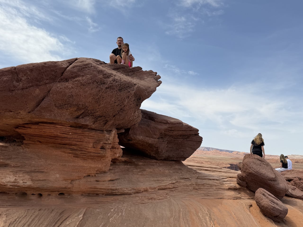
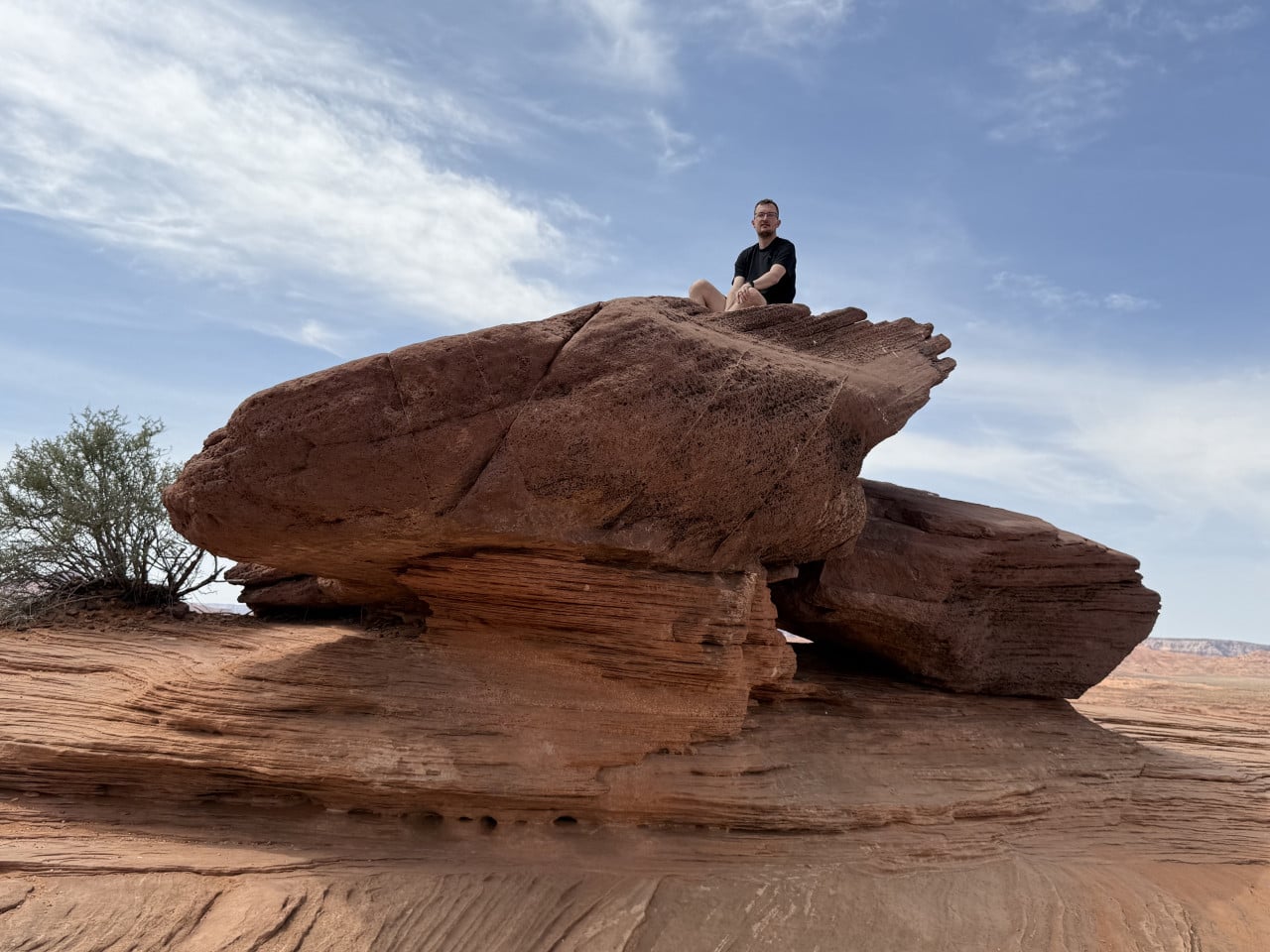
My daughter and I sat on a large rock a short distance from the edge and took a beautiful photo together with the canyon in the background. We also climbed onto some interesting rock formations nearby, where we took some nice photos as well.
Drones Prohibited
One thing I find a little disappointing is that drones are not allowed around national parks and recreation areas. But I understand. If everyone flew drones there, it would be like an airport, people would crash them into the canyon, and then fallen drones would have to be dealt with somewhere 300 meters below. They would also disturb other tourists. So it is understandable, although I believe the view from a drone would make an absolutely fantastic photo.
Practical Tips for Your Visit
As for practical matters—Horseshoe Bend is a short stop. In my opinion, setting aside an hour is more than enough. You arrive, take a walk, photograph yourself from every possible angle, enjoy the view, and head back. Even though there were more people there, we took turns without any problems—there is plenty of space.
Definitely bring water for the walk—there are no drinking fountains along the trail, and summer temperatures exceed 37 °C. The surface temperature can rise above 54 °C. I also recommend sunglasses, a cap, and sunscreen—there is very little shade.
Restrooms are available only by the parking lot; there are none along the trail or at the viewpoint.
Where to Go Next?
Horseshoe Bend is a great stopping point on a trip through the Southwest. We continued from here to Monument Valley, but you can also drive to the Grand Canyon—the South Rim is about 210 km away, which is roughly a 2.5-hour drive. The North Rim is even closer. So if you are planning a road trip through the southwestern states, Page and Horseshoe Bend should definitely be on your itinerary.
And if you are passing through the area, stop there. Really. Because it is many times more beautiful in person than in any photograph.