After visiting Desert View the previous day, where we enjoyed an amazing sunset, we moved to Grand Canyon Village in the evening, where we had booked a hotel. We stayed overnight and set out in the morning on one of the most beautiful trails the South Rim has to offer.
It was my very first time in Grand Canyon Village.
I have to admit that when you arrive from Desert View, where it is peaceful and there are relatively few people, Grand Canyon Village can be a bit of a surprise. This is a completely different world—it is the center of all tourist activity on the South Rim, and the traffic on the roads and in the parking lots reflects that.
Morning Starbucks and the start of the day
Before setting out on the trail, we stopped for breakfast. We got Starbucks and some coffee—in America, it is actually the only place where I drink coffee these days. You can find Starbucks right in Grand Canyon Village as part of one of the hotel complexes, so you can conveniently grab an iced coffee and head out.
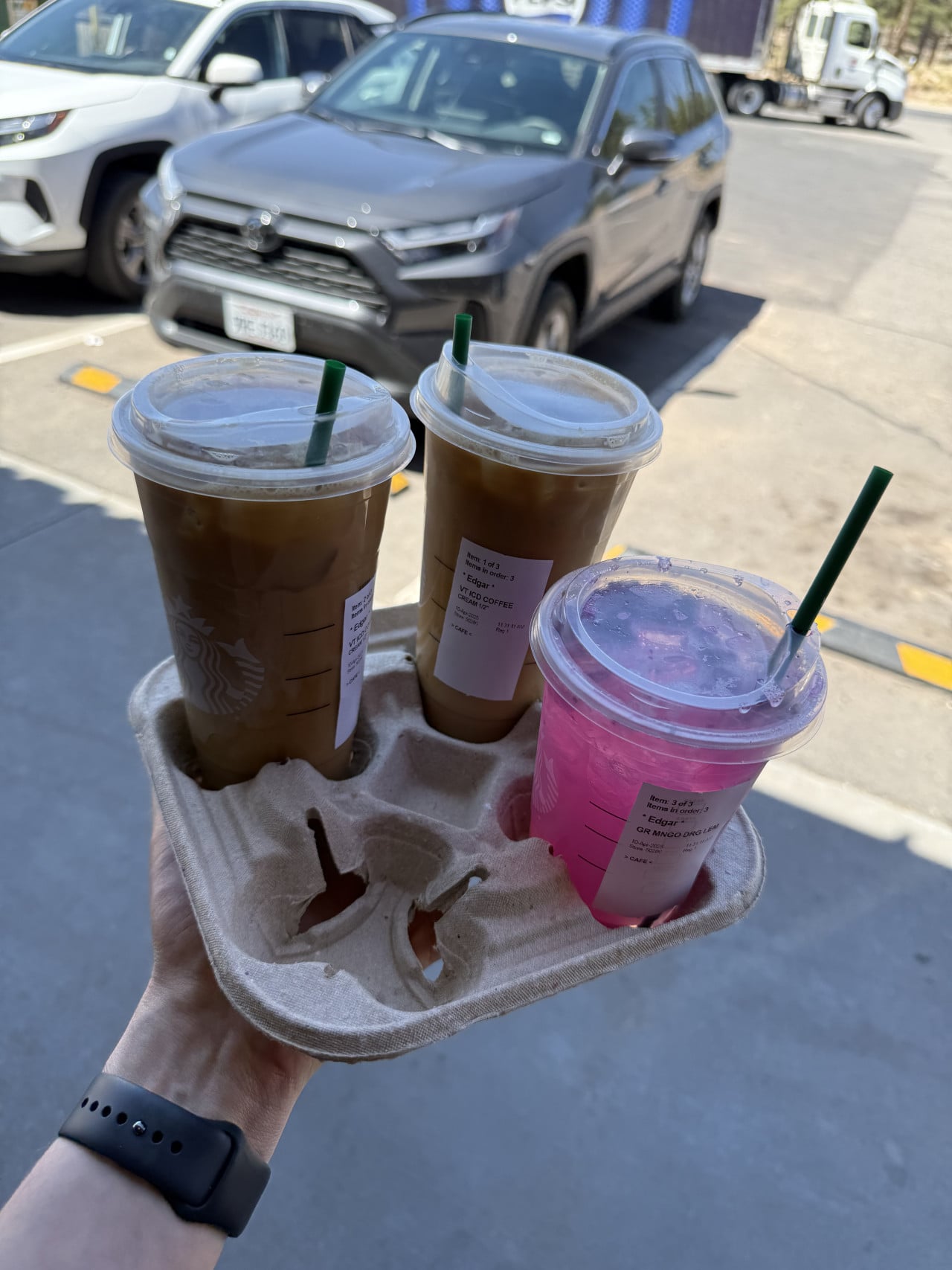
With coffee in hand, we jumped into the car and headed to the parking lot near the trailhead.
The line at the entrance and park admission
Before we even reached the parking lot, we had to wait in quite a long line. We waited for about 30 minutes before passing through the entrance gate, where they checked us and verified our admission pass.
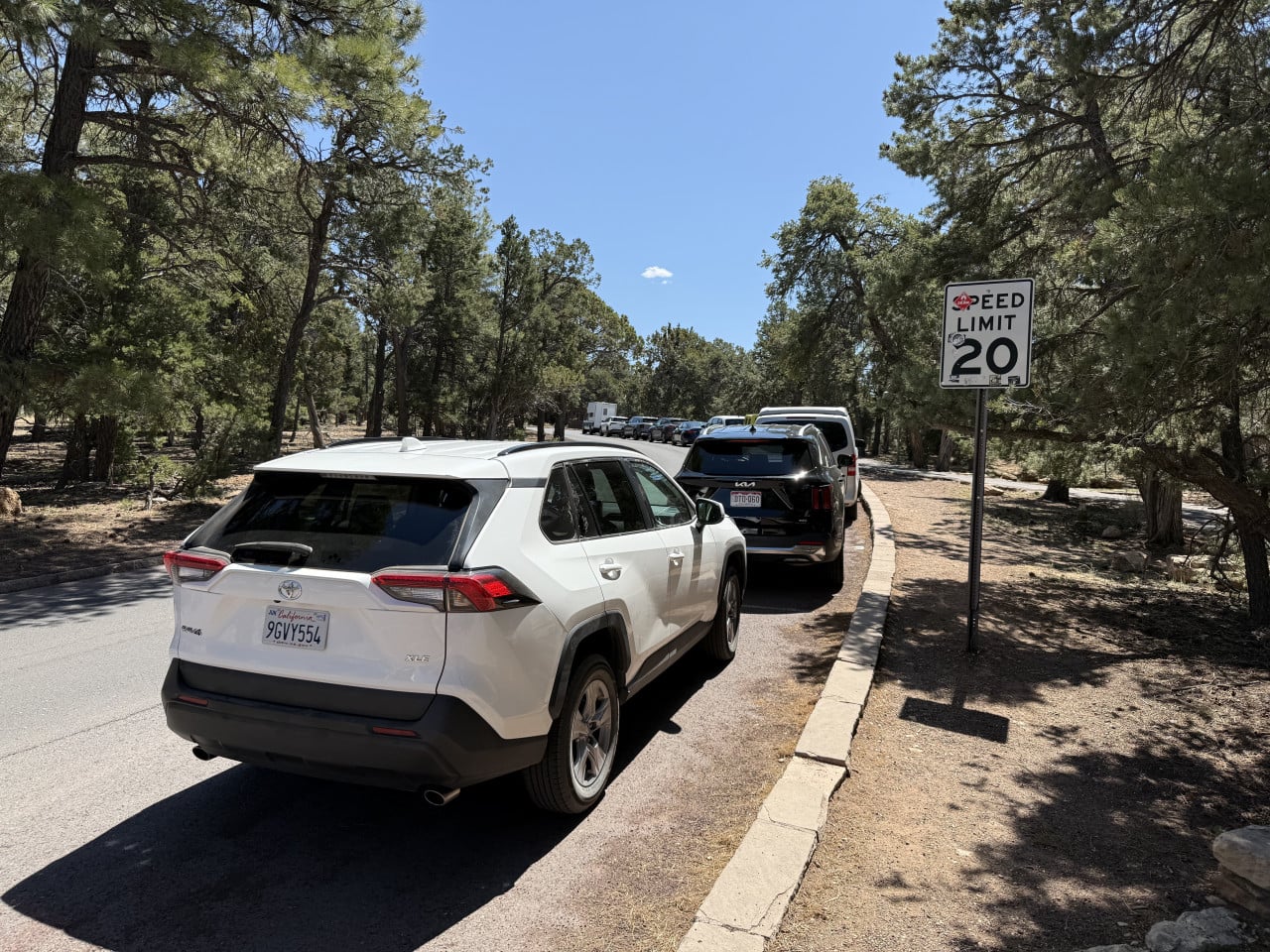
Grand Canyon Village lies away from the actual rim of the canyon, which means that every time you want to drive to a trail or viewpoint, you have to pass through the entrance gate and have a valid admission pass. We bought a seven-day pass ($35 per vehicle), but if you are planning to visit several national parks, it is definitely worth getting the America the Beautiful Annual Pass for $80. It is valid for a full year and covers admission to more than 2,000 federal recreation sites across the United States.
Incidentally, apparently the lines had been even worse on the previous days, so we actually timed it fairly well. Before the peak season begins, the roads around Grand Canyon Village are already very busy and parking can be difficult, so I recommend arriving as early in the morning as possible.
Important information for Czech and European travelers: From January 1, 2026, non-U.S. residents must pay a new surcharge of $100 per person aged 16 and over in addition to the standard admission fee. This fee applies to the 11 most visited parks, including the Grand Canyon. Alternatively, you can purchase a non-resident annual pass for $250, which covers admission to all of these parks. Unfortunately, this is the new reality of traveling to U.S. national parks.
What exactly is the Grand Canyon?
Before I describe our trail, I would like to mention a few things for those who do not know much about the Grand Canyon yet.
The Grand Canyon is an enormous gorge carved by the Colorado River in northern Arizona. It is approximately 446 kilometers long, up to 29 kilometers wide in some places, and more than 1,800 meters deep. The rock layers exposed in the canyon date back as far as 2 billion years—which means that when you look down from the rim, you are literally seeing a third of our planet's entire history.
The national park was established in 1919, but people have lived here for thousands of years. The Grand Canyon area is the traditional homeland of at least 11 Native American tribes, including the Havasupai, Hopi, Hualapai, and Navajo. Their presence is still evident today in the petroglyphs, granaries, and other cultural sites scattered throughout the canyon.
Trail to Maricopa Point, Powell Point, and Hopi Point
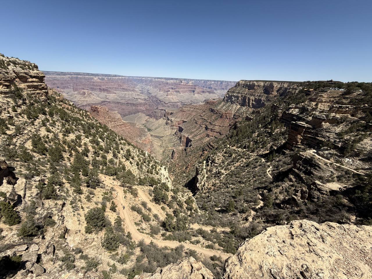
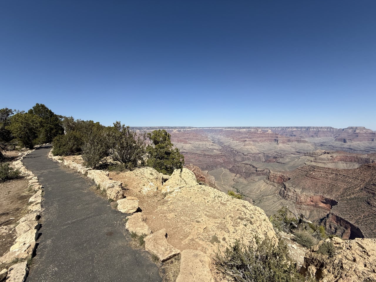
After parking, we set out on a trail that took us along the Rim Trail—the main trail running along the southern rim of the canyon. Specifically, it was the Maricopa Point, Powell Point, and Hopi Point via Rim Trail route.
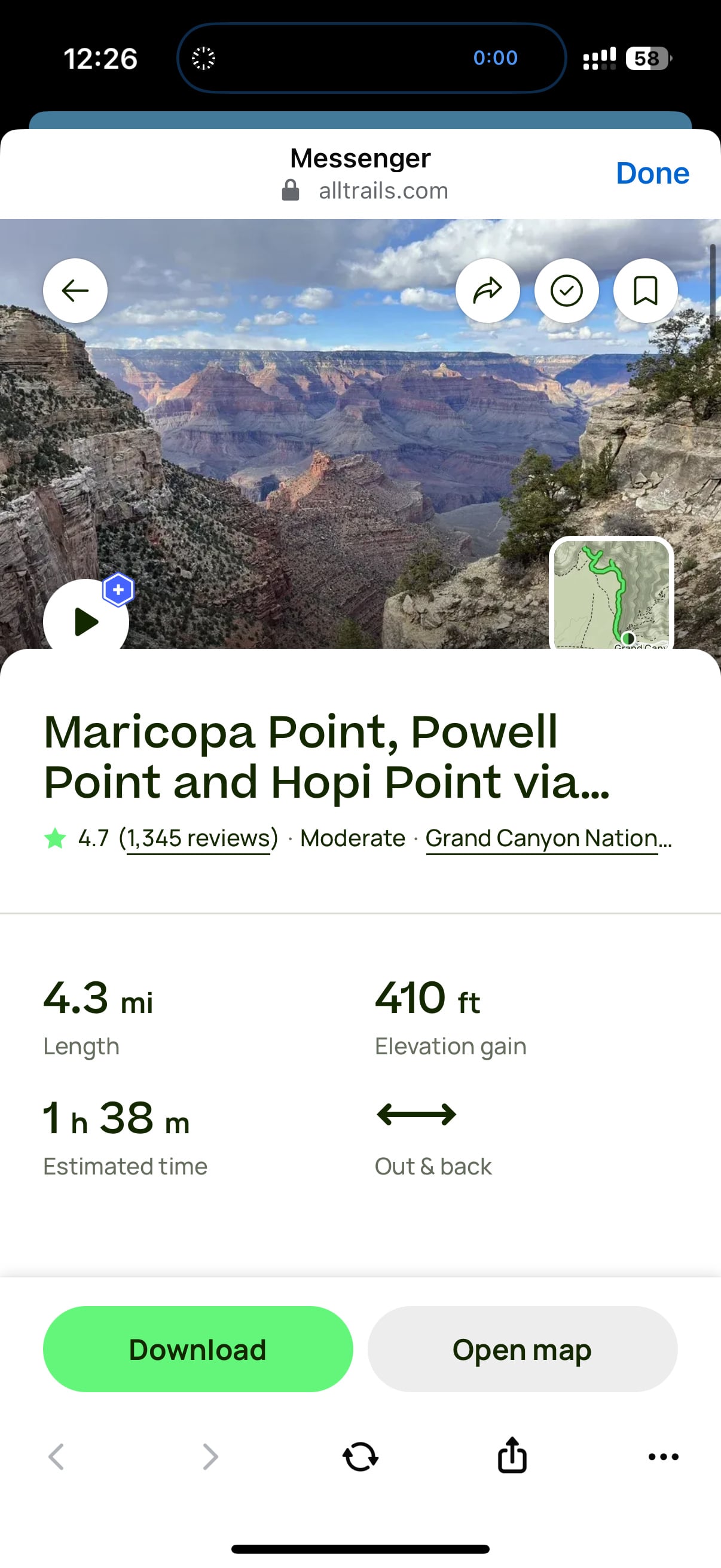
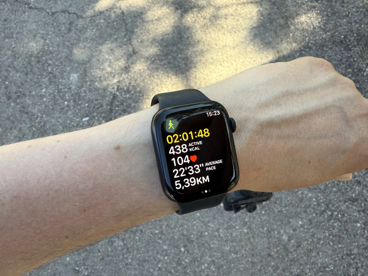
According to the AllTrails app, the trail was supposed to take approximately 1 hour and 38 minutes and cover 4.3 miles (about 6.9 km). However, we walked at a relaxed pace and stopped to take photos and enjoy the viewpoints, so it took us approximately two hours, and we recorded a distance of 5.39 km.
The trail is rated as moderate, with an elevation gain of about 125 meters, and it is an out & back route, meaning you return along the same path. The trails are perfectly marked, the path is largely paved, and it is basically accessible to anyone who can manage an ordinary walk.
Maricopa Point—a viewpoint with a mining history
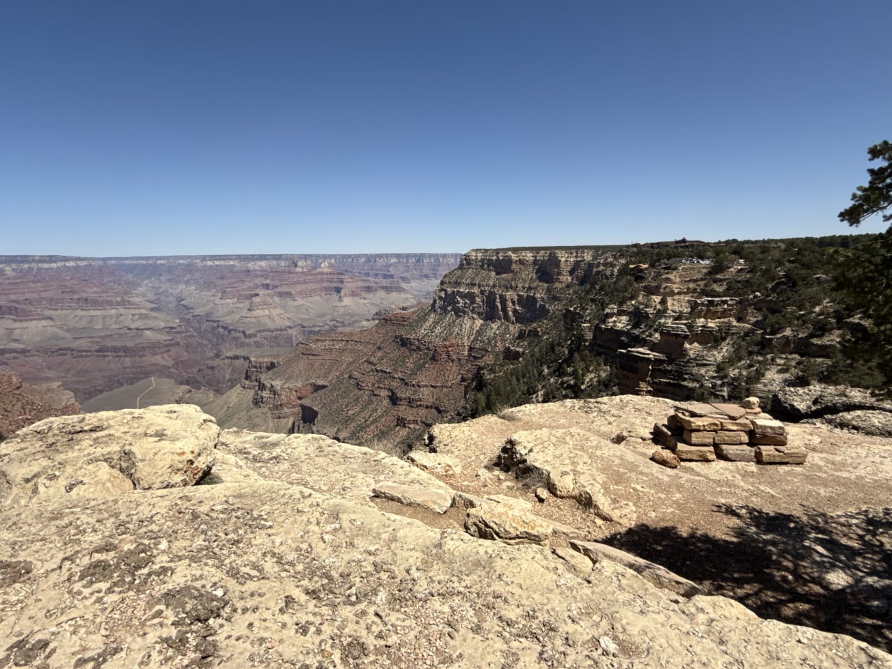
Maricopa Point is the first major viewpoint you encounter when heading west along Hermit Road from Grand Canyon Village. Its name comes from the Maricopa Native American people, who lived in southern and central Arizona.
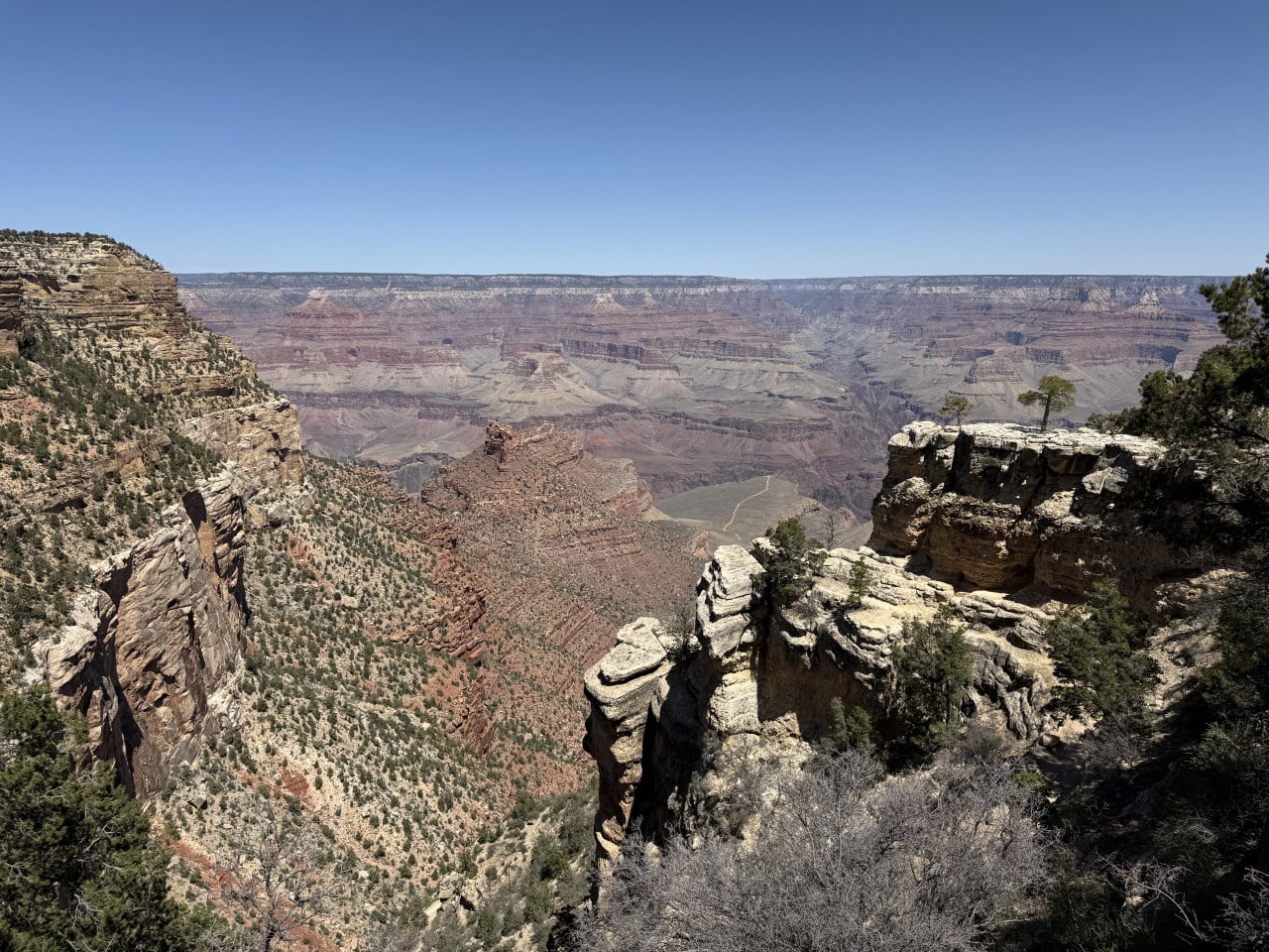
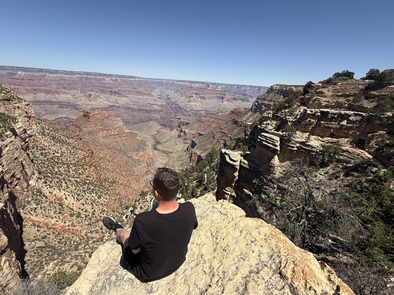
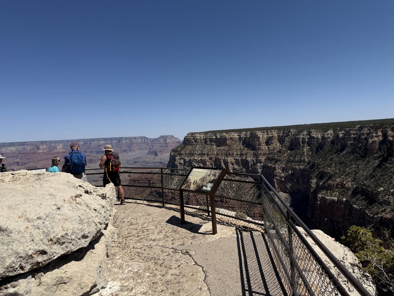
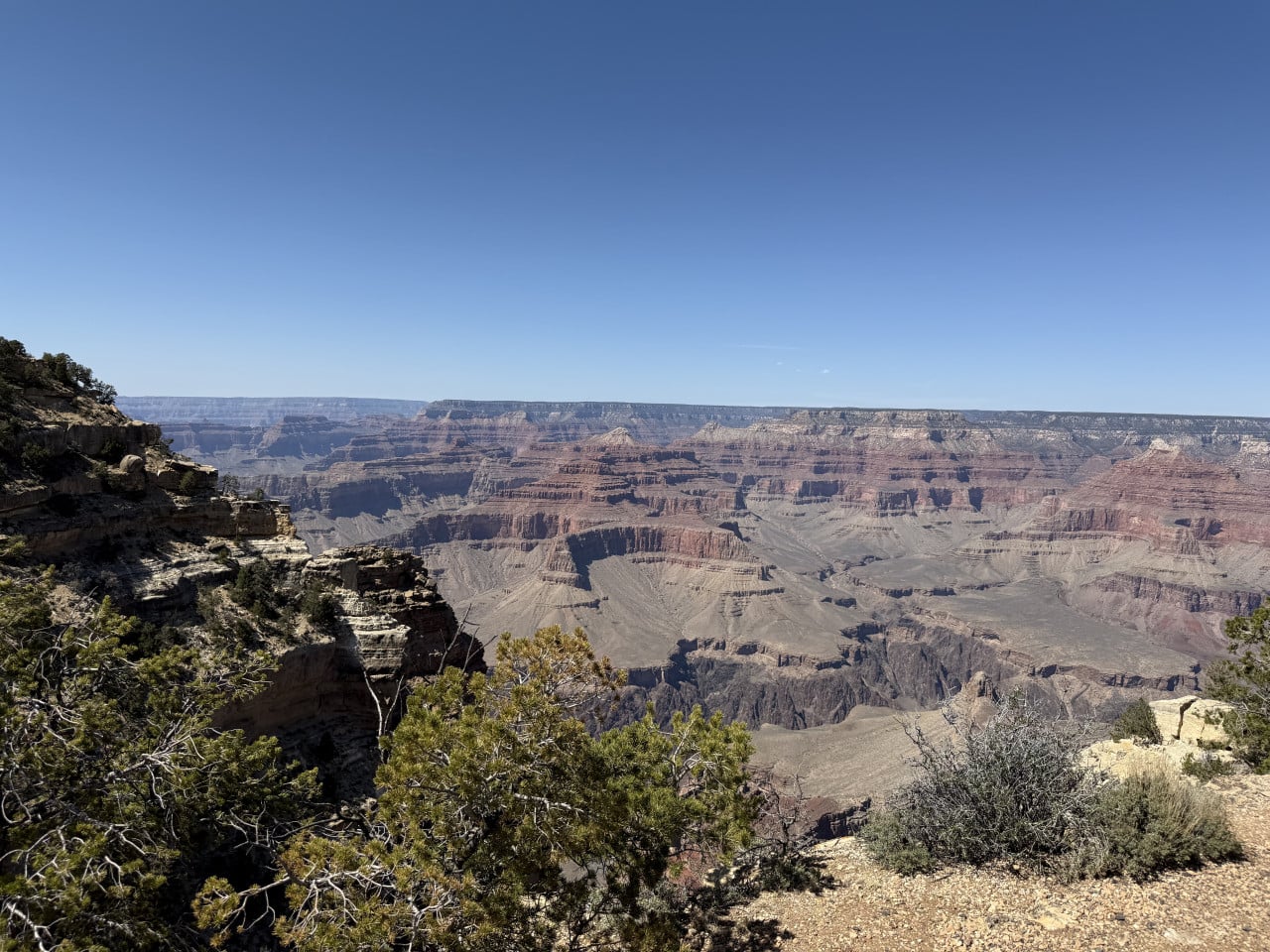
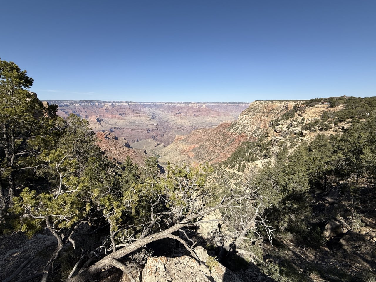
The view from this spot is absolutely phenomenal—a narrow rocky outcrop extends about 30 meters into the canyon and offers an unobstructed panoramic view of more than 180 degrees. When visibility is good, you can even see the Colorado River far below and miles-long sections of the Tonto Trail.
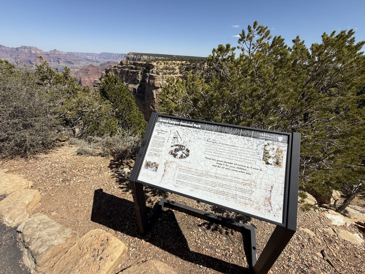
What interested me most, however, was the story of the Orphan Mine—an abandoned mine whose remains are visible directly from Maricopa Point. The mine was established in 1891 and was originally used to extract copper and silver. In the 1950s, however, it was discovered to contain enormous uranium deposits, and from 1956 to 1969 it became the richest source of uranium in the entire United States. The mine produced more than 1.9 million kilograms of uranium ore. In 1987, the national park acquired the land, and the site was closed due to concerns about radioactive contamination. To this day, part of the Rim Trail around the mine is fenced off and the trail follows a detour, but the original mining equipment and abandoned buildings on the canyon rim can still be seen from the viewpoint.
From viewpoint to viewpoint along the way
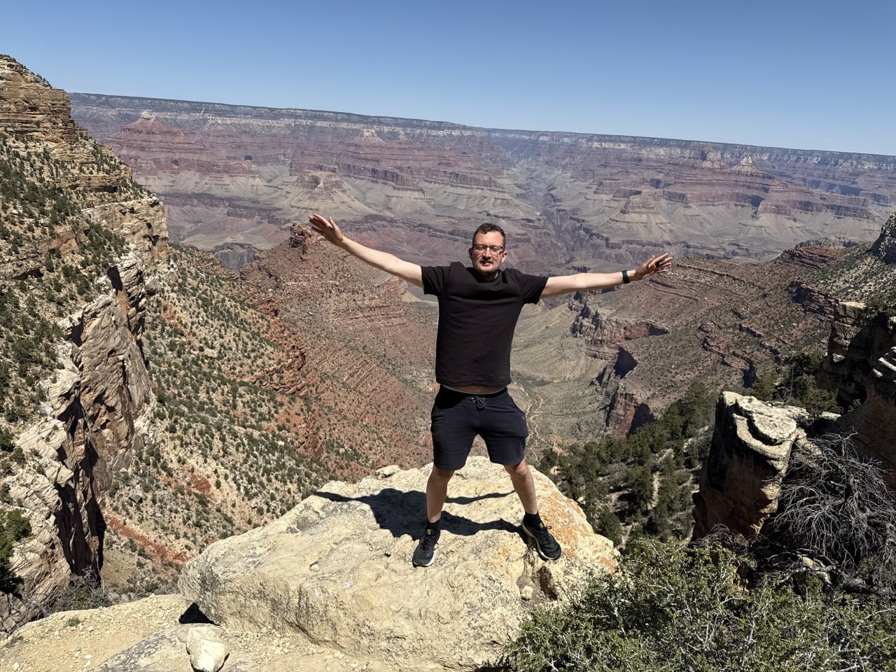
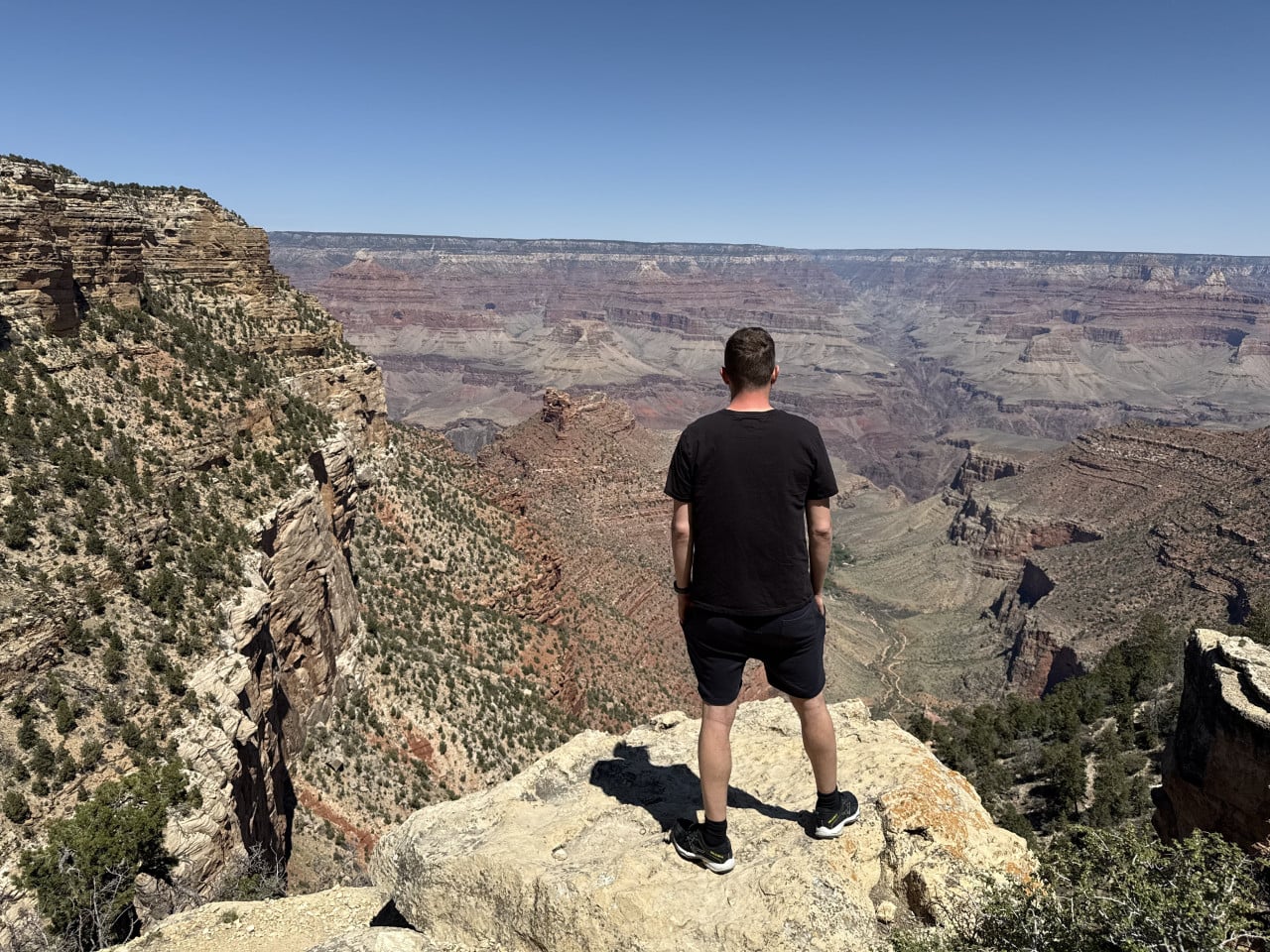
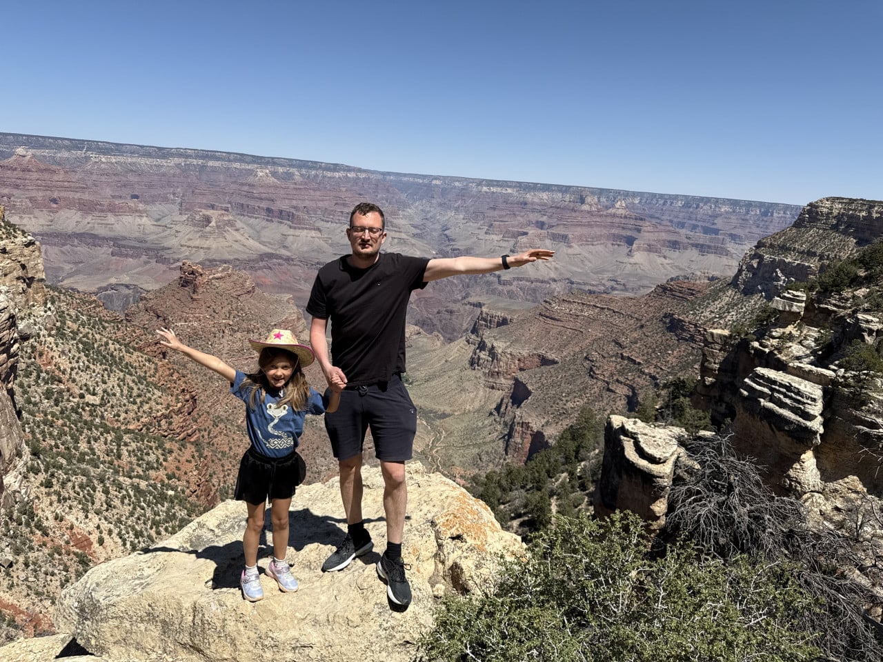
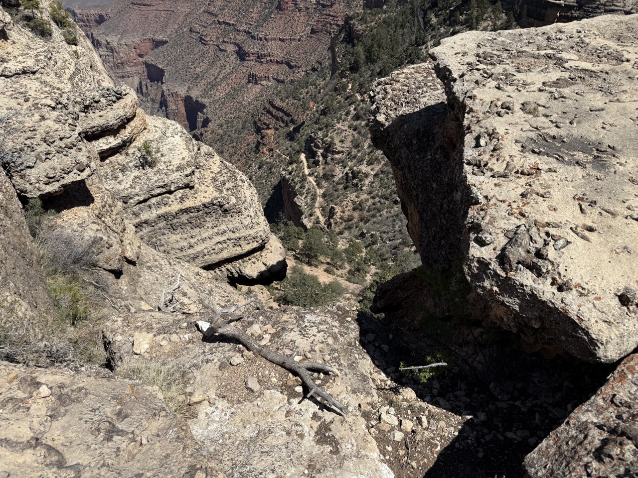
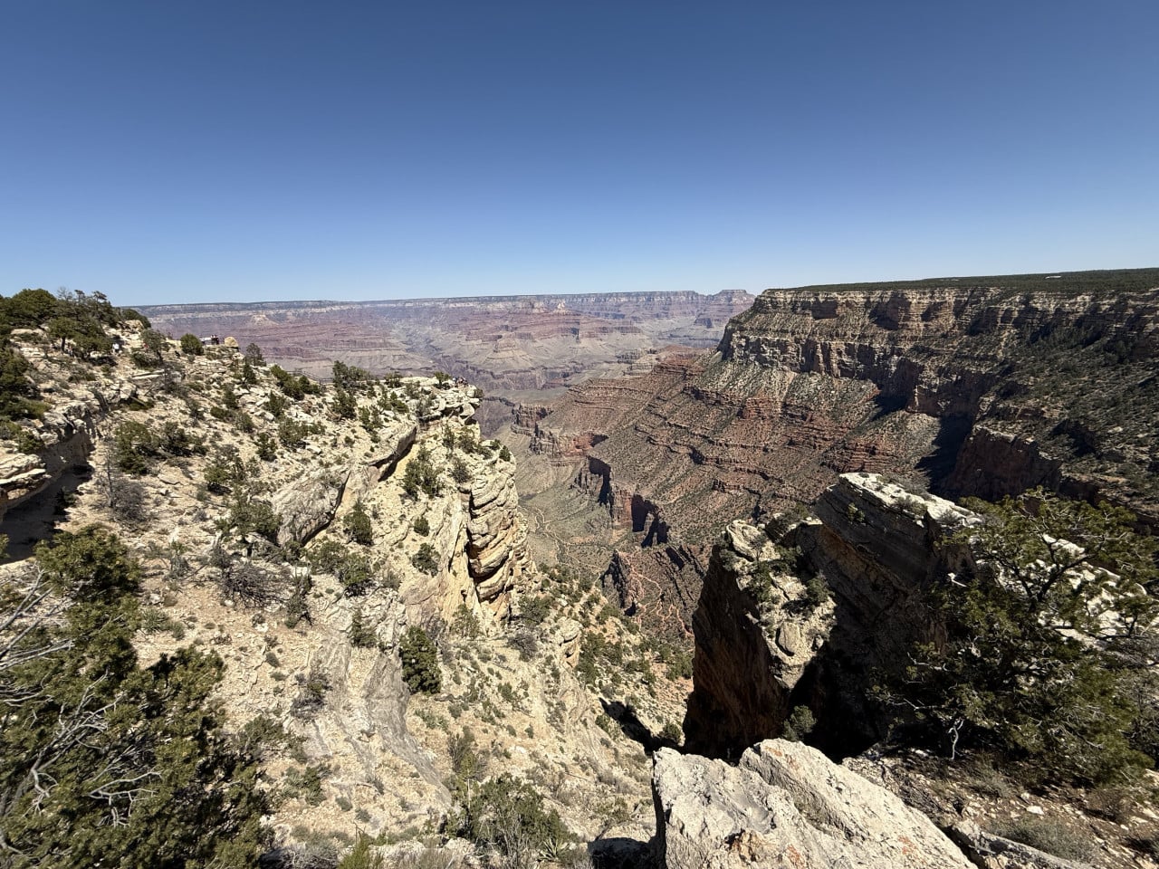
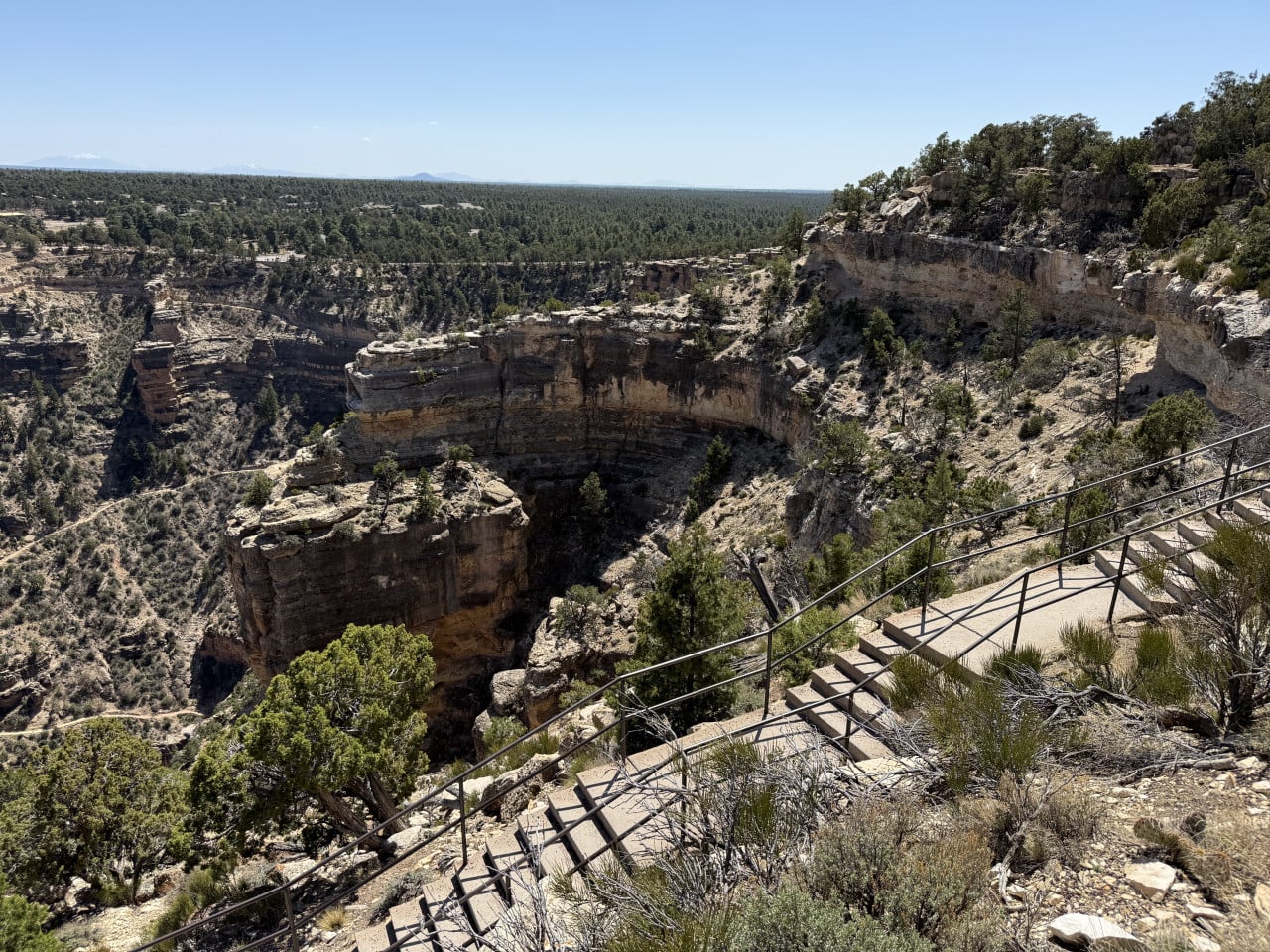
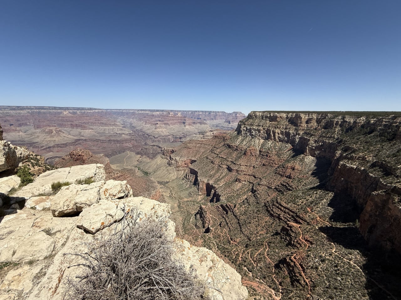
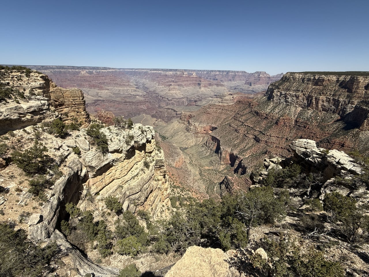
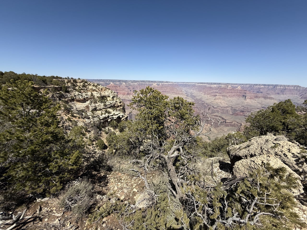
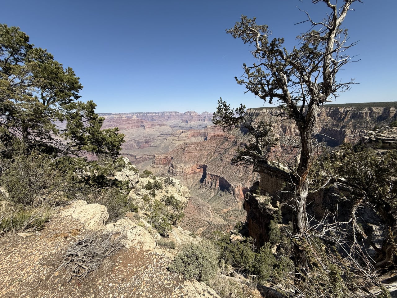
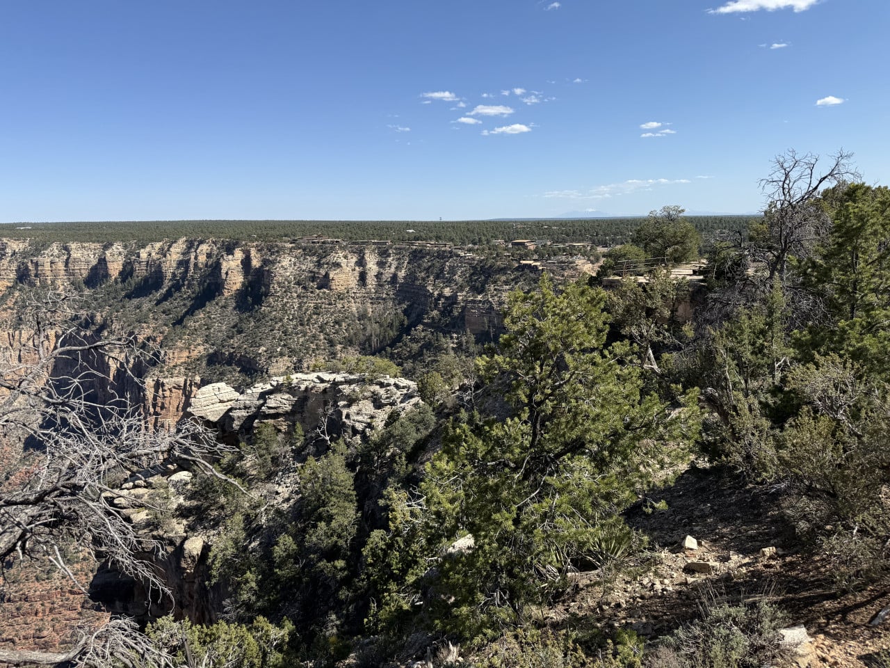
The true beauty of this trail is that every viewpoint offers a completely different view of the Grand Canyon. You walk along the trail, stop, and suddenly see the canyon from another angle—different rock formations, different colors, and a different sense of depth. Some sections look red, others yellow, and the colors keep changing as the sun moves.
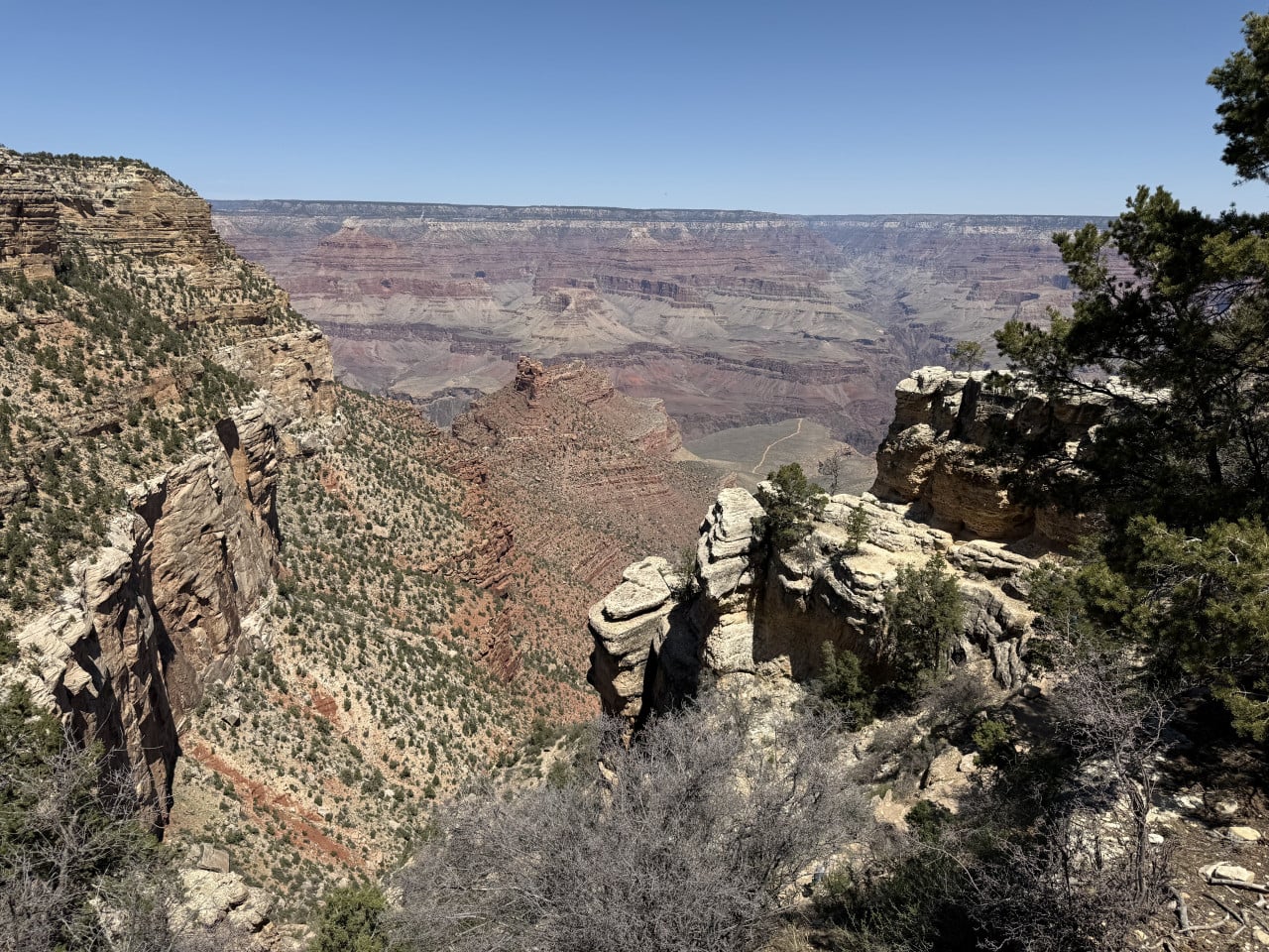
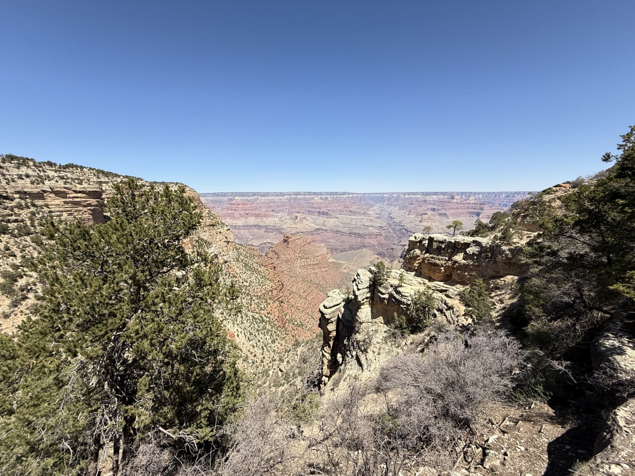
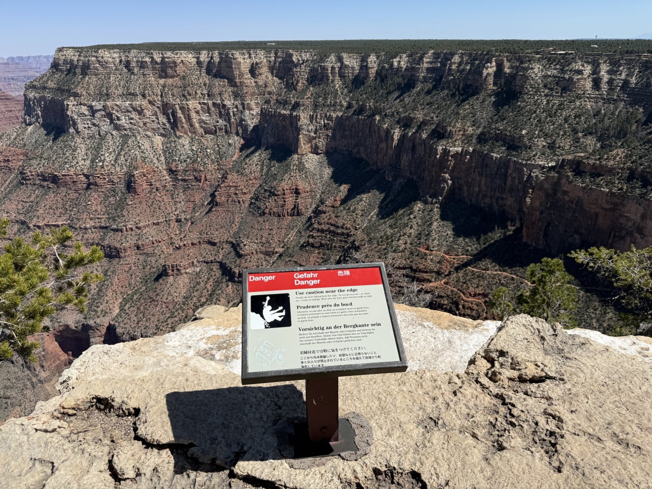
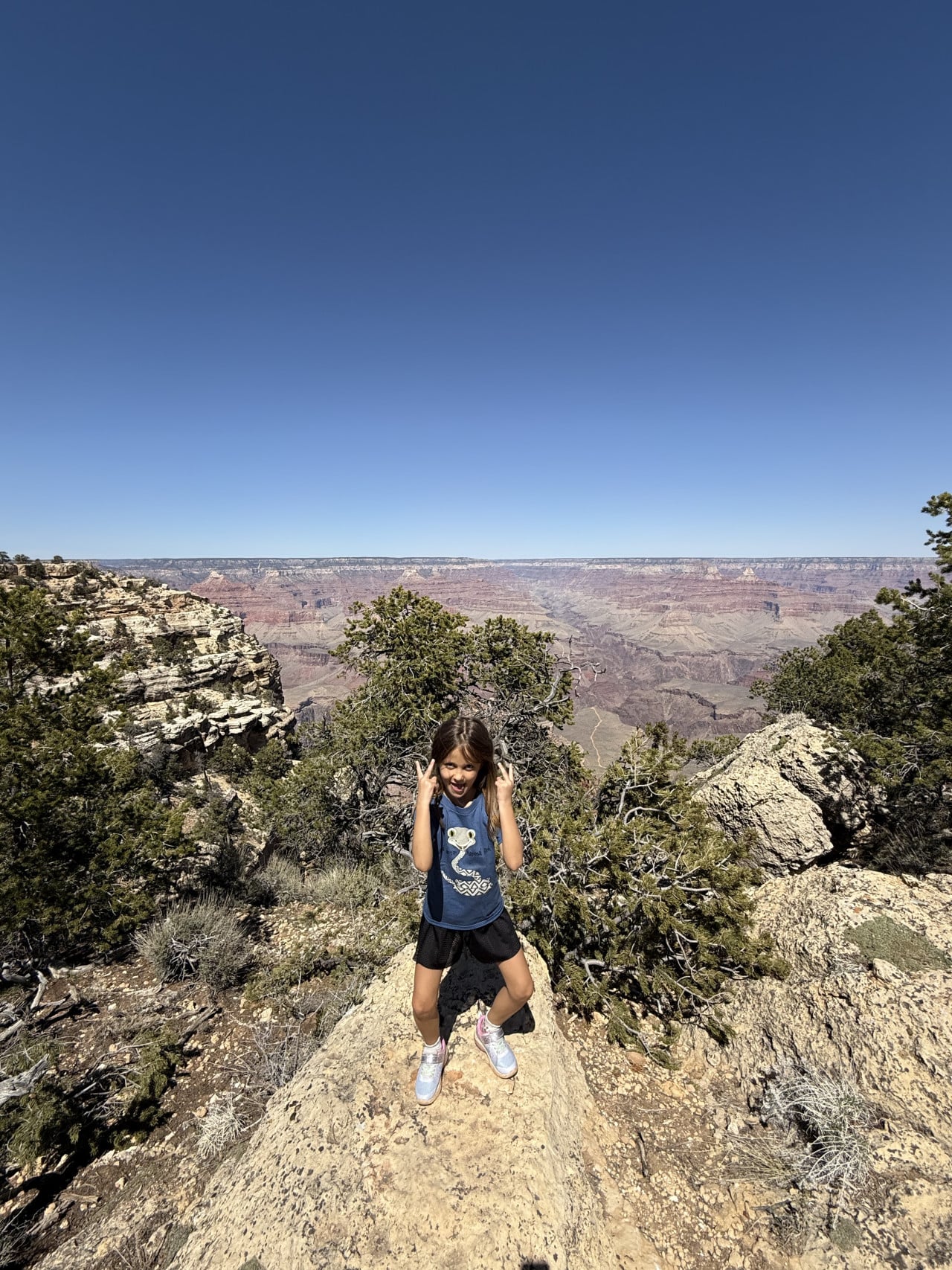
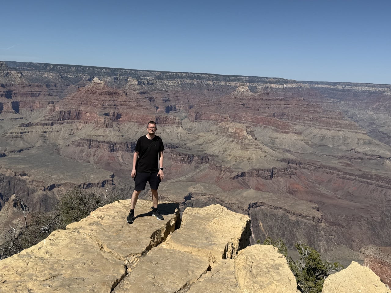
There were “Danger” signs everywhere, warning people not to get too close to the edge. And honestly, I kept my distance too. The depth is truly impressive, and it makes you realize just how tiny you are compared to this place.
Along the way, we met a completely random guy and chatted with him for a while. He offered to take our picture—and honestly, he took such great photos of us that I could not believe he had taken them using only an iPhone. So if you are at the Grand Canyon alone or as a couple, do not be afraid to ask someone to take your picture—the people there are friendly and helpful.
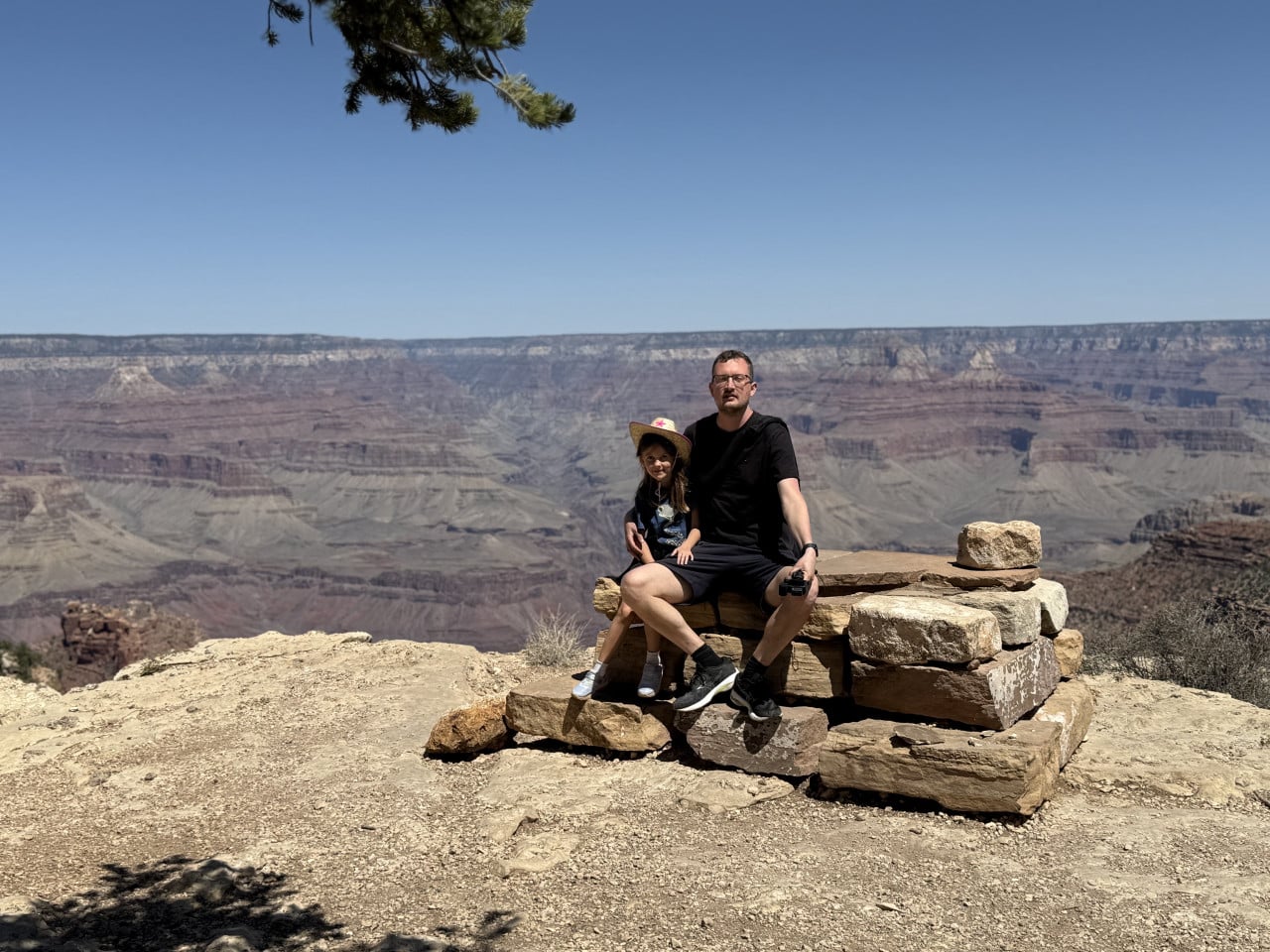
It was quite warm, and unfortunately I got sunburned—my neck was completely burned. So the number one piece of advice is: high-SPF sunscreen and a hat. The South Rim sits at an elevation of around 2,100 meters, and the sunlight is much more intense there than you might expect.
Information panels and history along the trail
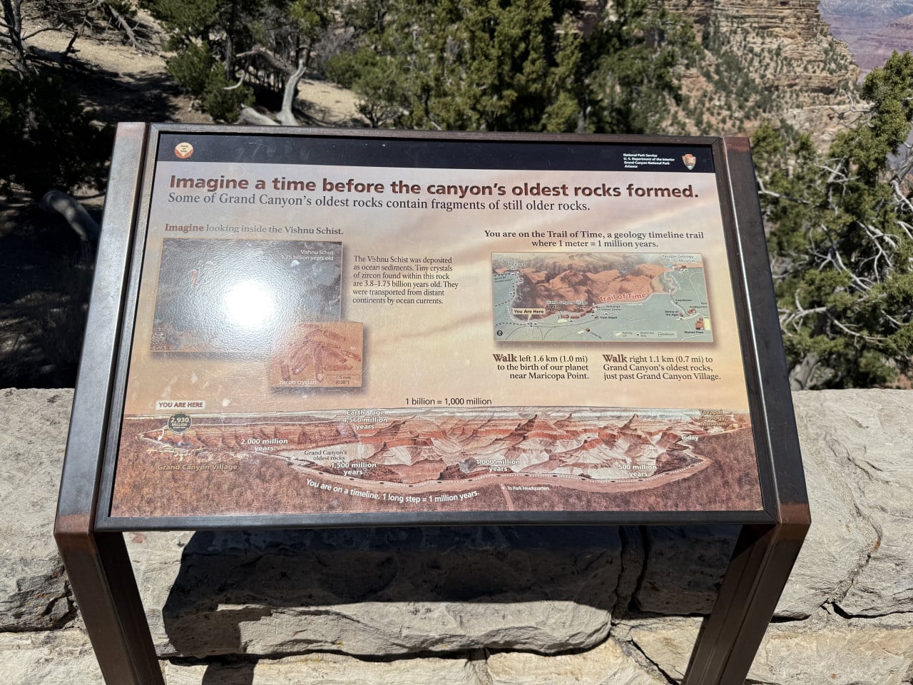
Information panels are placed along the entire trail, describing the canyon's geological history, local wildlife, and cultural heritage. One of the most interesting things I encountered was the Trail of Time. It is a unique geological exhibit located directly on the Rim Trail, where one meter of the trail represents one million years of Earth's history. The entire trail is 4.56 km long and covers 4.56 billion years—from the youngest rocks to the oldest. Along the trail, rock samples are displayed on pedestals, along with viewing tubes and information panels that connect what you can see in the canyon with a specific point on the timeline.
Bright Angel Trail—the trail we did not hike (but must next time)
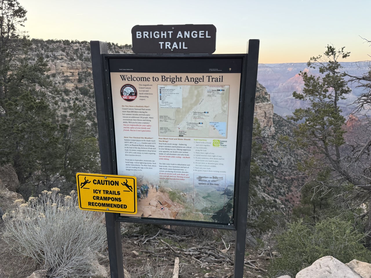
Along the way, we came across the beginning of the Bright Angel Trail—one of the most famous and popular trails in the entire Grand Canyon.
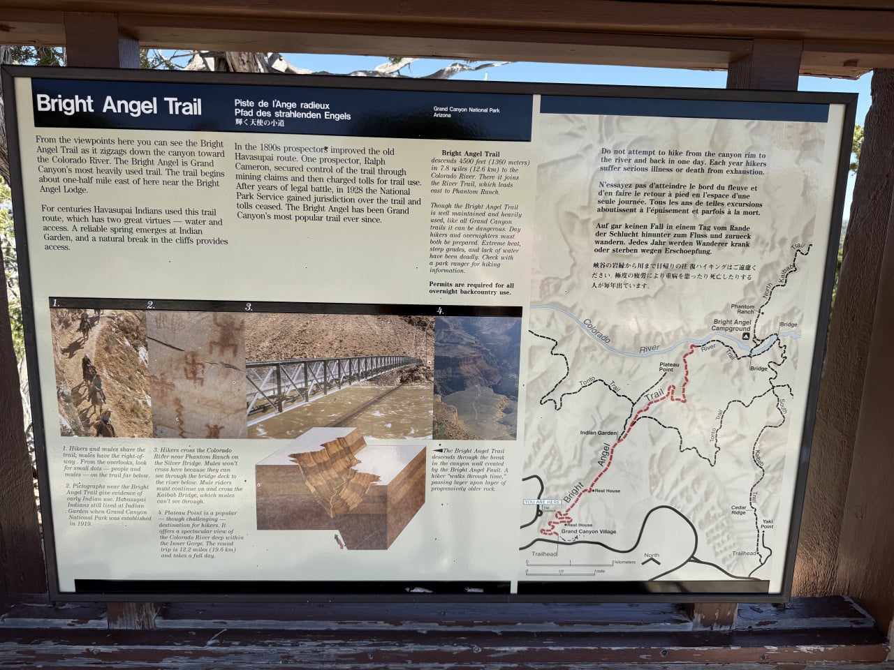
The Bright Angel Trail descends a full 1,335 meters from the South Rim to the Colorado River. Its total length is approximately 15 km one way, and it is one of the best-maintained trails in the park—it is regularly patrolled by rangers, and rest stops with drinking water are available along the route.
The history of this trail goes back thousands of years. It was originally used by the Havasupai people, who built it along a natural geological fracture in the rocks. In the 1880s, prospectors Pete Berry and the Cameron brothers improved it to reach their mining claims inside the canyon. Ralph Cameron, one of the first entrepreneurs at the Grand Canyon (and later an Arizona senator), then named the trail “Bright Angel” and began charging a $1 toll to use it. In 1928, the National Park Service took over management of the trail.
We did not hike the Bright Angel Trail this time because we had our daughter with us, and everywhere online said that it is quite a demanding route—you have to descend deep into the canyon, and then every step down has to be climbed again on the way back up. It is not an ideal option for families with small children. So we will save it for next time.
Incidentally, the photo of the entrance sign also shows a yellow sign reading “Caution – Icy Trails, Crampons Recommended,” warning that the upper part of the trail is often covered in ice during the winter months. The trail is so varied that temperatures at the bottom can rise above 40°C in summer, while there may be snow at the top on the rim.
Grand Canyon Spring Water—pure spring water for free
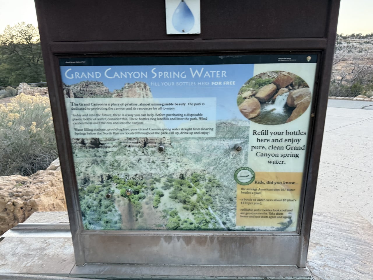
Along the route, we also came across a Grand Canyon Spring Water station. Refill stations are located throughout the park, where you can fill your bottle with clean spring water for free. The water comes from Roaring Springs on the north side of the canyon.
This is how the park is fighting plastic waste—the sale of single-use plastic bottles is restricted in Grand Canyon National Park, and visitors are instead encouraged to use their own bottles. The sign by the station features an interesting fact: the average American uses 167 plastic bottles per year, costing approximately $334 annually. So bring a bottle and refill it—it is free, and the water is excellent.
Mule Power—riding mules into the canyon
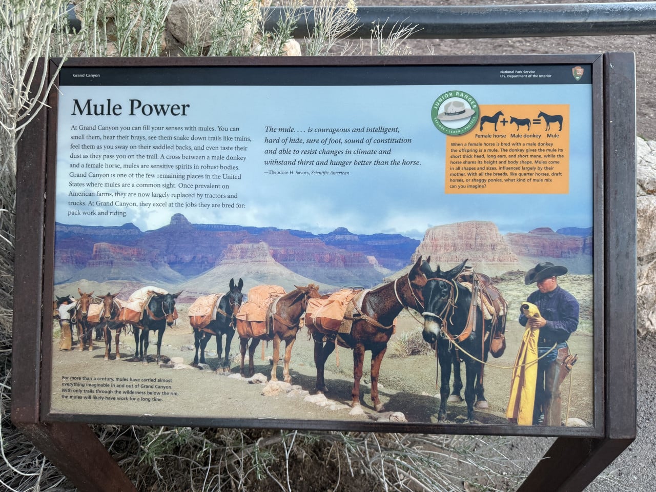
Another thing that interested me at the Grand Canyon is the tradition of mule rides. Near the Bright Angel Trail, we saw an information panel titled “Mule Power,” which beautifully describes the history and importance of these animals to the Grand Canyon.
Mules—a cross between a horse and a donkey—have been at home in the Grand Canyon since 1887. They combine the sure-footedness of a donkey with the size and strength of a horse, making them ideal transportation for the steep canyon trails. Over more than 130 years, more than 600,000 visitors have ridden mules here.
Today, mule rides are operated by Xanterra, which offers several options: a two-hour ride along the canyon rim (Canyon Vistas Ride) or a multi-day trip down to the Colorado River with an overnight stay at the famous Phantom Ranch—a rustic lodge at the bottom of the canyon by the river. The second option costs around $1,200 per person and is booked months in advance.
If you encounter mules on the trail, remember the rule: mules always have the right of way. Step aside on the inside of the trail and wait for them to pass—they are trained, but they need space.
Deer that were not afraid at all
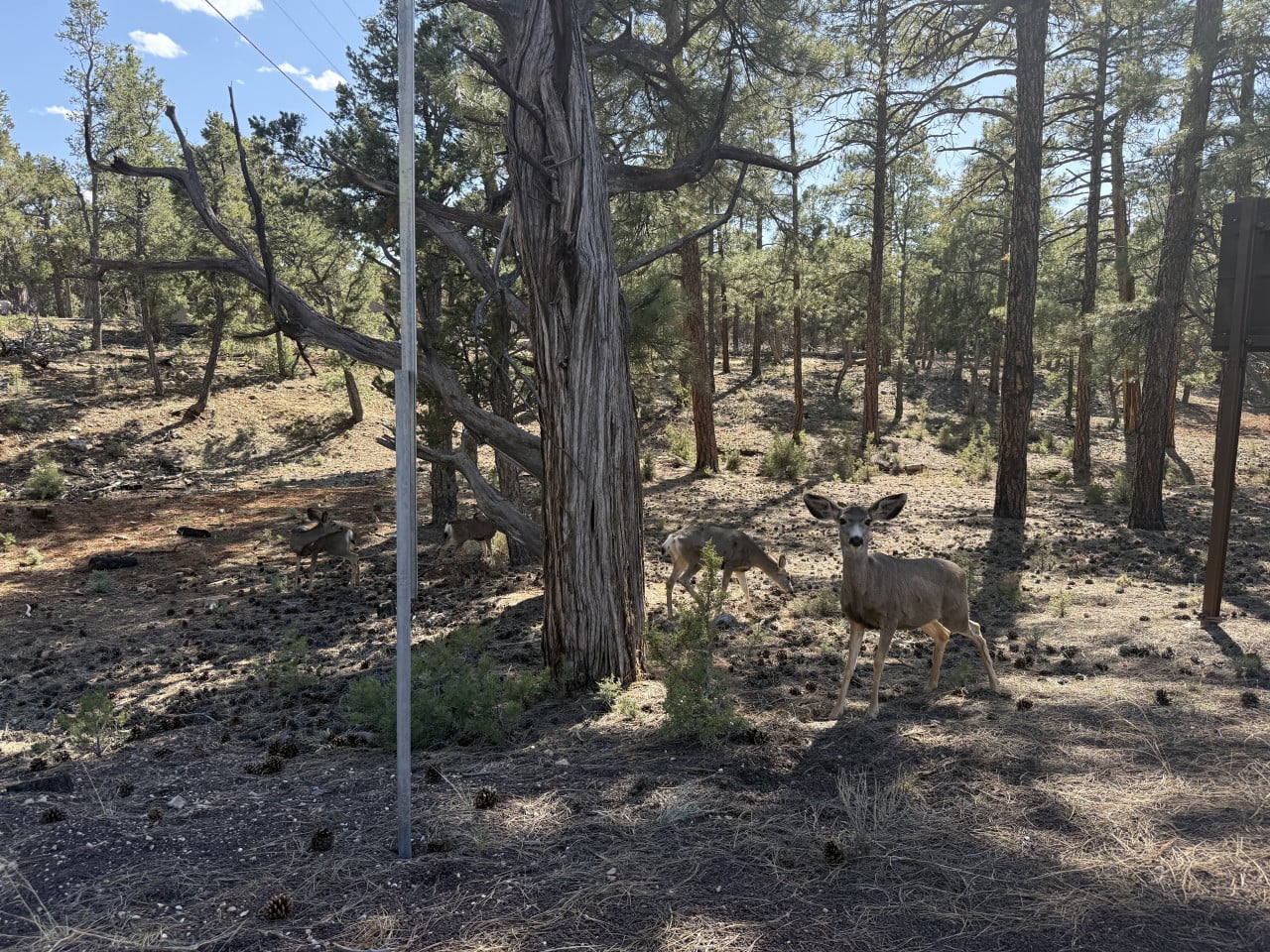
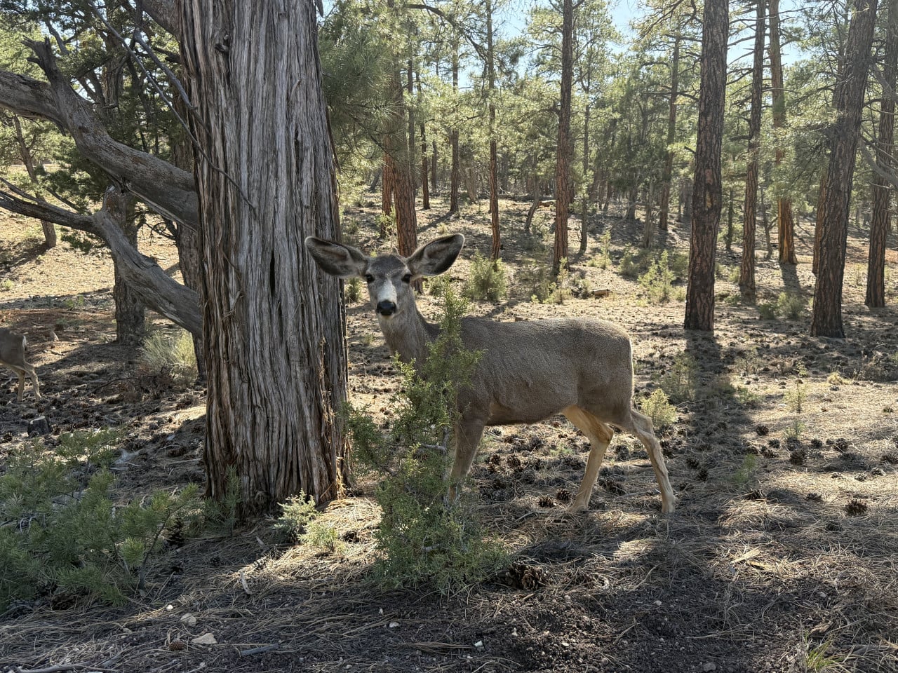
On the way back to Grand Canyon Village, we experienced a wonderful moment—we encountered deer (more precisely mule deer) freely roaming through the forest around the trail.
What surprised me was how completely unafraid they were. I stopped and was genuinely only a meter away from one of them. It simply looked at me calmly and continued grazing. It was such a peaceful sight—one of those moments you remember.
Mule deer are fairly common on the South Rim, and thanks to the protection provided by the national park, they have become accustomed to the presence of people. Nevertheless, the rule still applies: do not touch or feed them. They are wild animals, and although they may seem friendly, they can be unpredictable.
Dinner in Grand Canyon Village and sunset at Bright Angel Trail
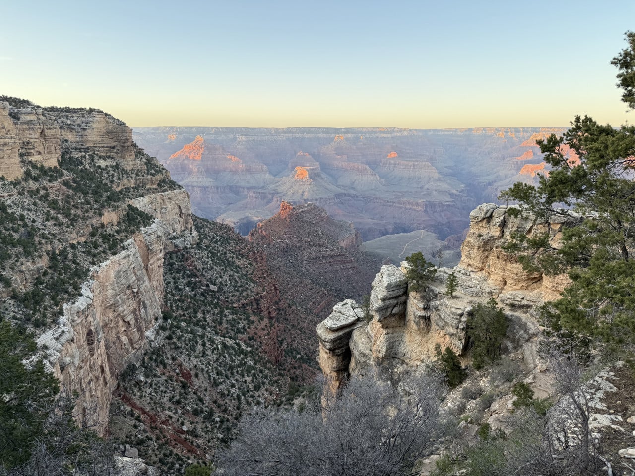
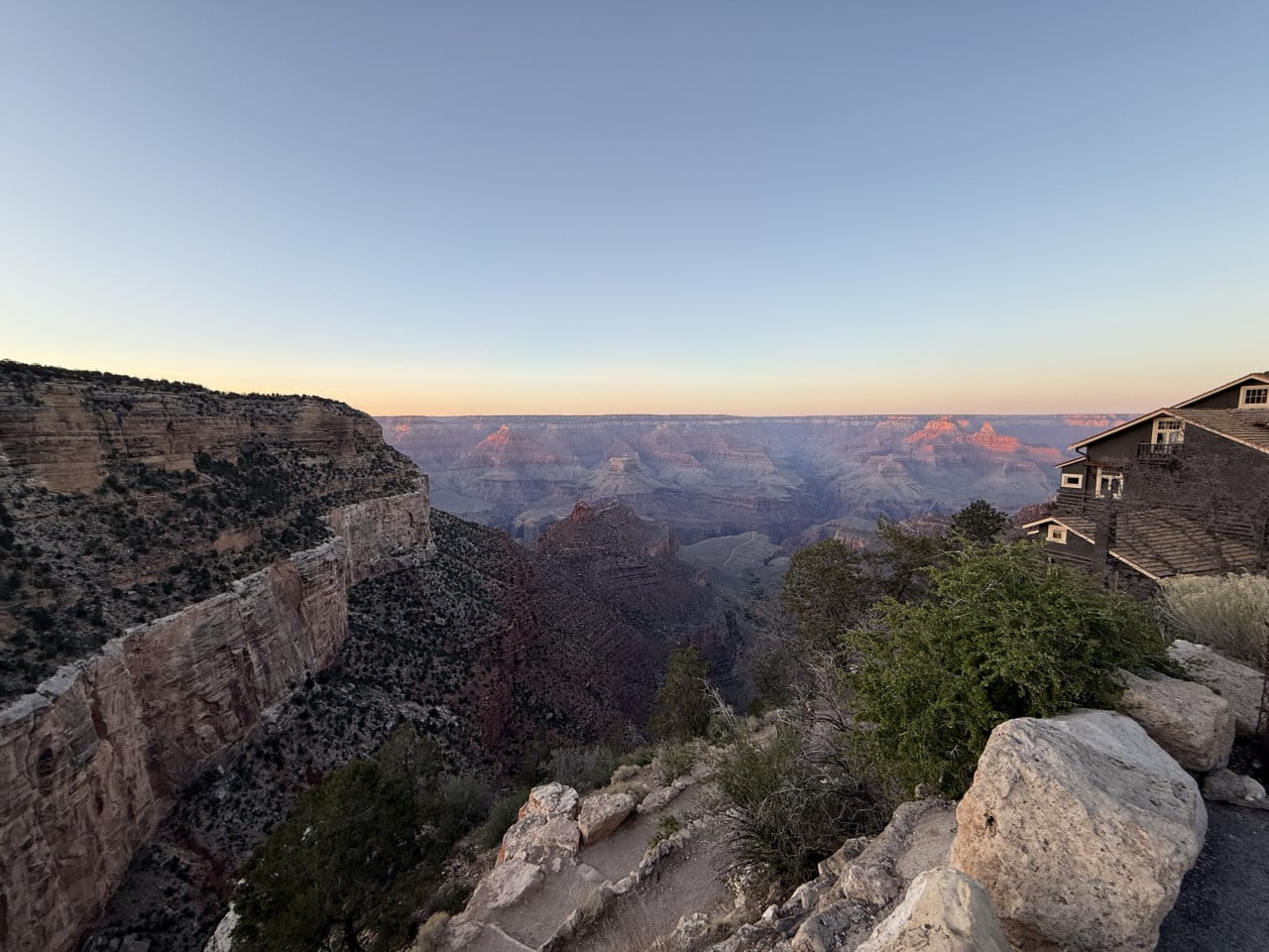
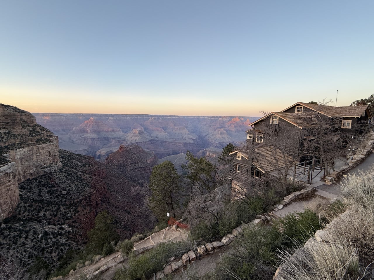
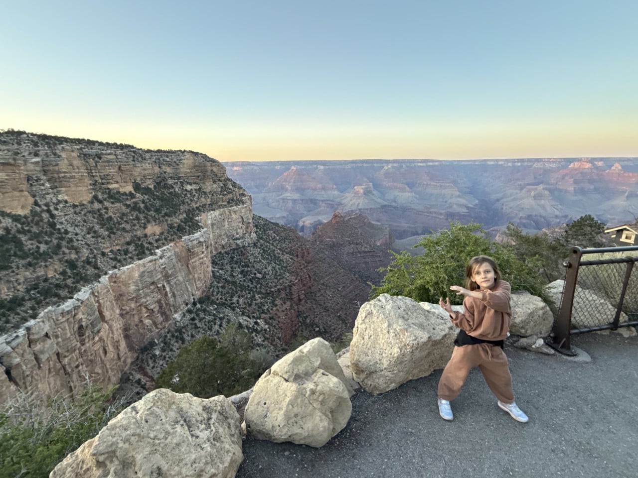
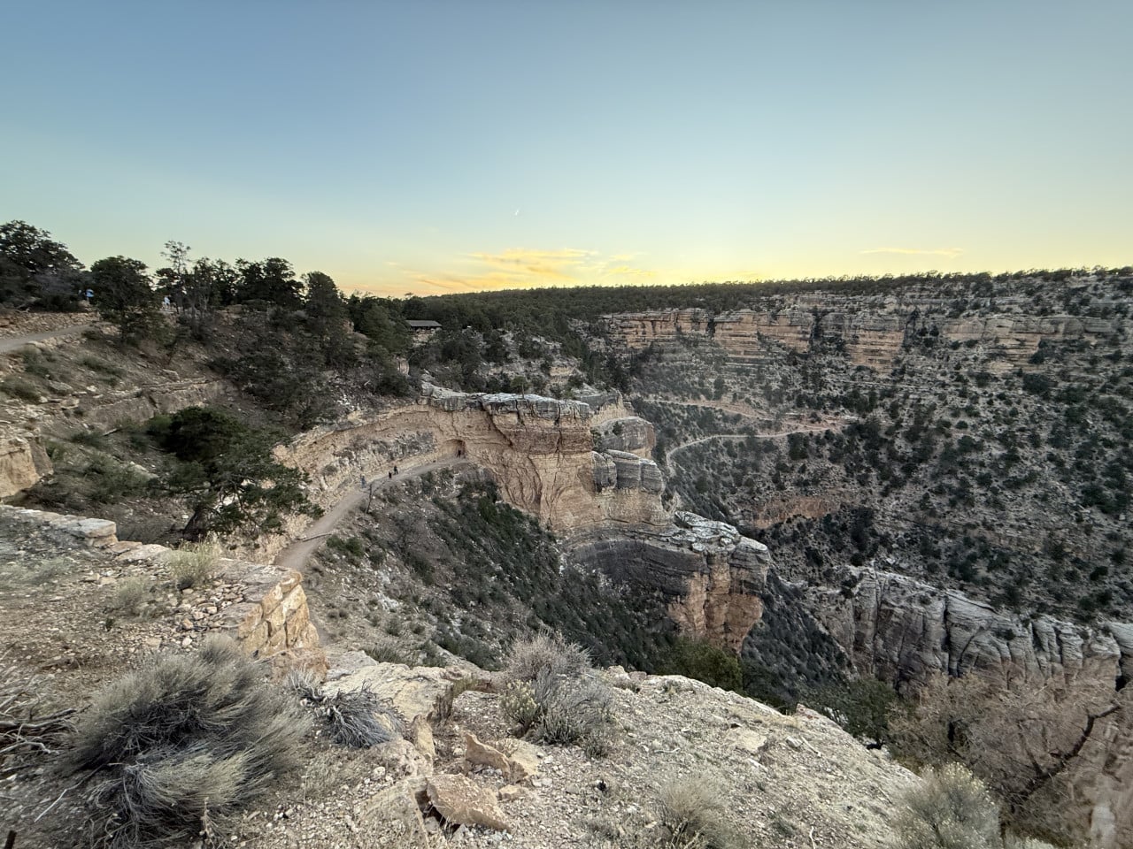
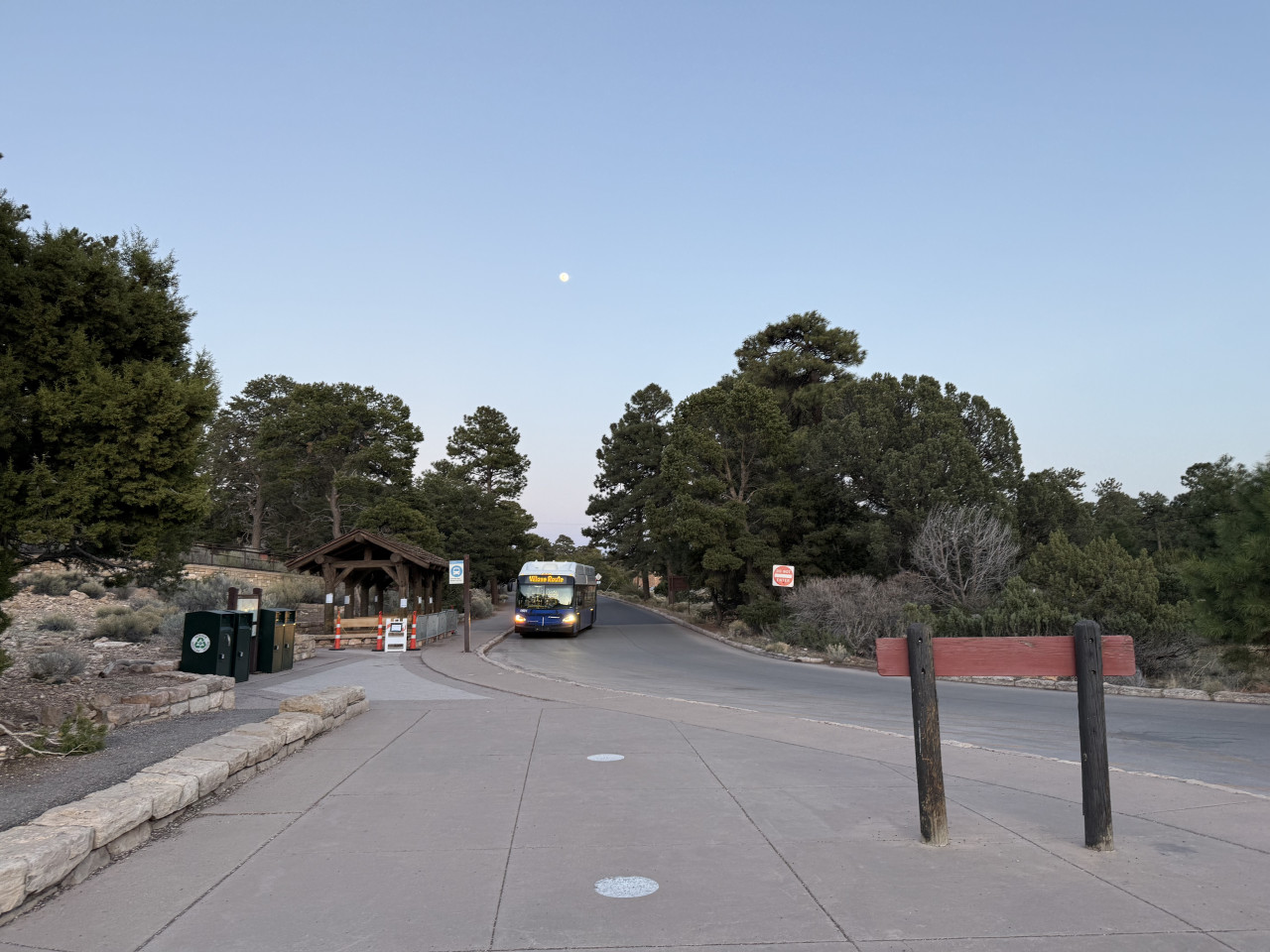
After the trail, we returned to Grand Canyon Village, where we had dinner. Then we headed back to the beginning of the Bright Angel Trail to wait for the sunset.
We did have one small complication—I lost the car keys. I have a rather funny video of myself helplessly walking around the car, completely unable to find the keys. But we still managed to catch the sunset.
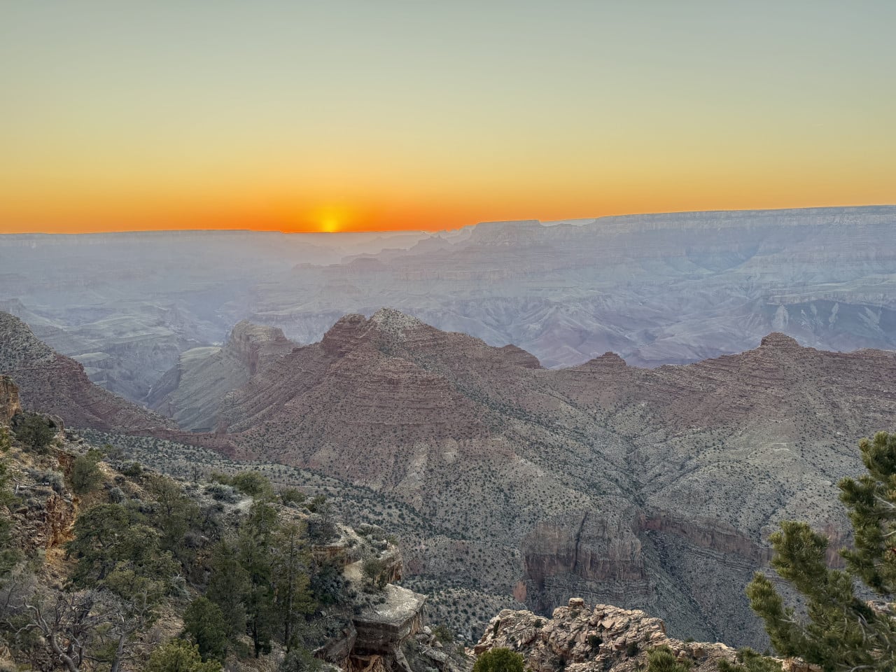
The sunset from the Bright Angel Trail was nice, but in my opinion, the one at Desert View was better. The view from the parking lot near the Bright Angel Trail was pretty, but somewhat limited—there was a lodge and some trees partially blocking it. At Desert View, the view is much more open and panoramic, so if you want to enjoy a sunset at the Grand Canyon, that is where I personally recommend going.
Trail tips from Grand Canyon Village
Grand Canyon Village is the starting point for dozens of trails. Here are a few recommendations if you are planning a visit:
Rim Trail—the main trail along the canyon rim, measuring approximately 21 km in total from Hermit's Rest to the South Kaibab Trailhead. It is largely paved and accessible even to families with strollers. You do not have to walk the entire trail—simply choose a section between two viewpoints.
Bright Angel Trail—the most popular trail into the canyon. Even a short walk a few hundred meters down is worthwhile and offers a completely different perspective from the view above. Just remember that the climb back up takes twice as long.
South Kaibab Trail—an alternative route down into the canyon that follows a ridge and offers more open views than Bright Angel. However, it is steeper and has no water sources.
Hermit Road (Hermit's Rest Route)—a free red shuttle bus runs along this road and stops at nine viewpoints. The most beautiful include Hopi Point (great for sunset), Mohave Point, and The Abyss.
If you are hiking with children or do not want anything strenuous, the Rim Trail between Grand Canyon Village and Maricopa Point is an ideal choice—it is a flat, paved trail with amazing views that truly anyone can manage.
Final thoughts
Grand Canyon Village and the surrounding trails are simply something you have to experience with your own eyes. Photos can never do it justice—the enormous depth, the colors of the rocks, and the silence broken only by the wind and the sounds of nature. It was my very first time here, and I know for certain that I will return. Next time, I definitely want to hike down the Bright Angel Trail, perhaps when our daughter is a little older.
And if you are curious about what our previous day at Desert View and that amazing sunset looked like, take a look at the article about Desert View.