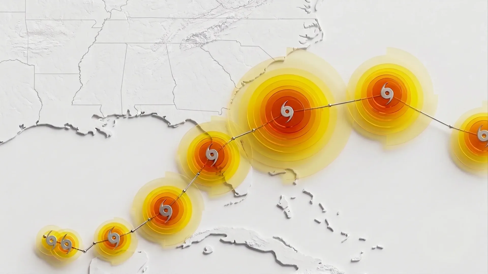
Google DeepMind has unveiled the WeatherNext Cyclones artificial intelligence model. It can estimate the track of a tropical cyclone, its strength, and its wind structure on average a full day earlier than the leading forecasting systems currently in use. According to its creators, the new model’s three-day forecast is as good as what older models could manage only two days in advance. In meteorology, where progress is measured in hours, this represents an advance that would otherwise take about a decade.
The Unpredictability of Cyclones
Tropical cyclones, namely hurricanes and typhoons, are among the most destructive phenomena on the planet. Over the past fifty years, they have claimed more than 700,000 lives and caused damage exceeding one trillion dollars. Meteorologists have therefore long worked with two sets of tools. Global models are good at capturing where a storm will travel because large atmospheric currents determine its direction. However, the strength at the center of the storm is governed by subtle physics around the eye, and specialized local models have been used for that. No one had managed to combine both into a single system.
That is precisely what Ferran Alet’s team at Google DeepMind attempted. They trained the model together with the U.S. National Hurricane Center, the CIRA institute for atmospheric research, and the UK Met Office. They trained it on nearly twenty terabytes of global atmospheric data, supplemented by the IBTrACS archive containing records of nearly five thousand historical cyclones. There is little cyclone data but an enormous amount of weather data, so the model had to handle both at once.
Hurricane Melissa and the Real-World Test
Forecasts had been running live on the Weather Lab website since June 2025, so the model entered the real hurricane season. The decisive test came at the end of October, when Melissa was forming in the Caribbean.
When it was first recorded as a weak tropical depression, the standard models were not in agreement. Some expected a weak system over Haiti, while others suggested that the storm would strengthen toward Jamaica. Five days before landfall, WeatherNext gave an eighty percent probability that Melissa would hit Jamaica as a Category 5 hurricane. Not Haiti, not a weakening system, but the absolute top of the scale.
Based on these outputs, the National Hurricane Center did something it had never done before: it forecast that a storm with Category 1 wind strength would intensify all the way to Category 5. Melissa struck Jamaica on October 28 as a Category 5 hurricane. Rescue teams therefore had extra days to distribute supplies and organize evacuations.
Those real-world deployments were preceded by tests on historical data, and their results inspired more distrust than confidence. Kate Musgrave of the CIRA institute admits that no one believed such good numbers and they expected them not to hold up in real-world operation. When the model was placed in the hands of meteorologists, the numbers held up, surprising everyone.
A Thousand Versions of a Single Storm
The model does not work with a single forecast. Instead of one most likely scenario, it runs an entire range of possible developments, which is a way of capturing the butterfly effect, in which a minor deviation at the beginning turns into a completely different storm after several days. Last year, the model calculated fifty scenarios for each cyclone. This year, it generates a thousand. According to Musgrave, with the computing power available, such a number of calculations is not feasible with conventional numerical models.
Yet the speed is astonishing. A complete fifteen-day forecast of the track, strength, and wind structure is generated in under a minute on a single TPU chip from Google.
A Mystery the Authors Themselves Have Not Solved
The most interesting part of the results concerns how detailed the data fed into the model actually is. It sees the atmosphere through a grid of points roughly twenty-eight kilometers apart. One such window would therefore cover, for example, all of Prague and its surroundings. Regional models that attempt to calculate the strength of a storm need a much denser grid so that the hurricane’s eye itself does not slip between the points. According to prevailing assumptions, it should simply be impossible to determine how strong the storm will ultimately become from such a blurred image.
Yet it works. The authors of the paper explicitly write that coarse atmospheric data contain more information about storm intensity than previously thought, and that why the method works so well at such a resolution remains an open question. This does not mean that the physics of the storm’s eye, terrain, or coastal geometry have ceased to matter; rather, it shows that a model trained directly on storm characteristics can extract useful information from the provided context
Meteorologists Remain Cautious
Mike Brennan, director of the U.S. National Hurricane Center, describes the new model as a useful addition to the toolkit, but only one of many tools. He points out that nothing guarantees that a model that performed well last year or on one particular storm will also be the best for the next season. Official warnings will also continue to be issued by state and local meteorological services; that is not changing.
No one wants to remove people from the decision-making process. According to Brennan, a hurricane is not just a forecast of its track and strength. Someone has to translate the numbers into specific impacts, because those are what kill people. And even a few extra hours, he says, can make the difference.
Sources: egamers.io, ndtv.com and wired.com