When I lived in Georgia, I once looked for a hiking trail near Atlanta so I wouldn't have to drive too far and could complete it in a single day. I searched Google and came across a route that immediately caught my attention. I try to find hikes where I don't have to walk to one point and then return to the car along the same trail, but can instead do a small loop.
Except for nearly hitting a motorcyclist, getting soaked, and getting lost several times, the trip actually turned out quite well 🙂
There is also a video filmed with a GoPro at the end of the article.
A road that suggests it won't be easy
The entire route begins at a parking lot whose GPS coordinates I saved on my phone and used for navigation:
GPS coordinates: 34.637467, -84.195317 (N34 38.248 W84 11.719)
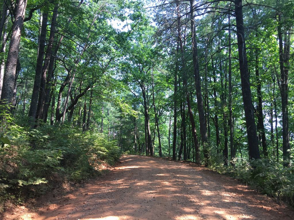
Considering it was about 90 kilometers away, I was quite surprised by the driving time—almost two hours. I didn't think much of it and set off. After about forty minutes, the GPS directed me to turn left onto a rough, rocky road. Since I encountered plenty of other cars there, I figured I was going the right way.
The road wound uphill and was really difficult to drive in places, but I didn't give up. About halfway up, several motorcyclists came up behind me. They were clearly in more of a hurry than I was and weren't too pleased with my slow driving.
As I tried to avoid a larger pothole, it didn't occur to me that someone might try to pass me on the right, so I swerved at exactly the moment one of the motorcyclists was attempting to overtake me. Hard braking, shock on both sides… Fortunately, nothing happened. I rolled down the window and apologized, saying I hadn't seen him. He laughed, said it was fine, and told me to drive carefully. We shook hands, and he rode away. I was relieved.
After about fifteen kilometers on these roads (at around 10 mph), I finally reached the parking lot. I knew I was in the right place.
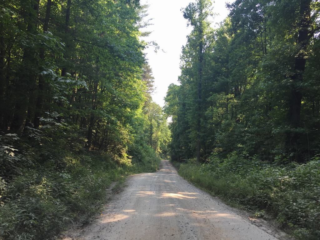
The place where it all begins
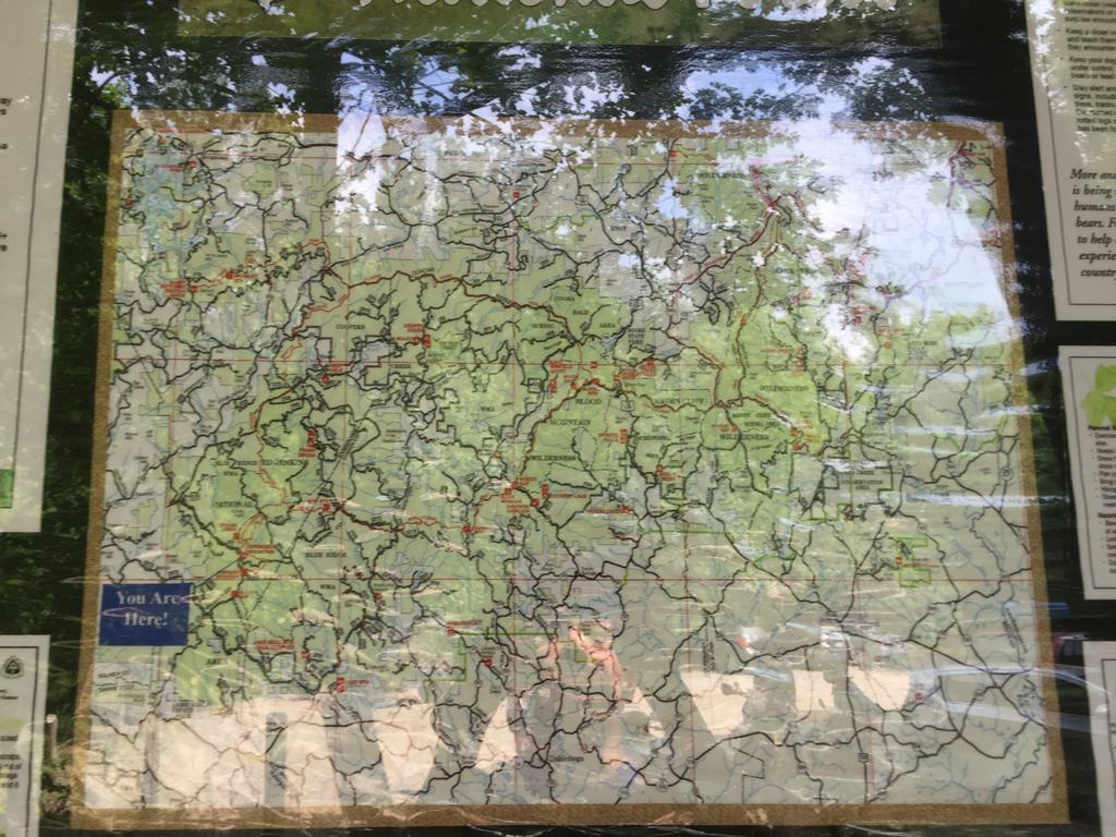
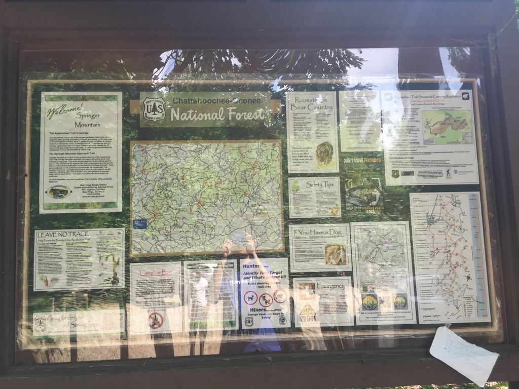
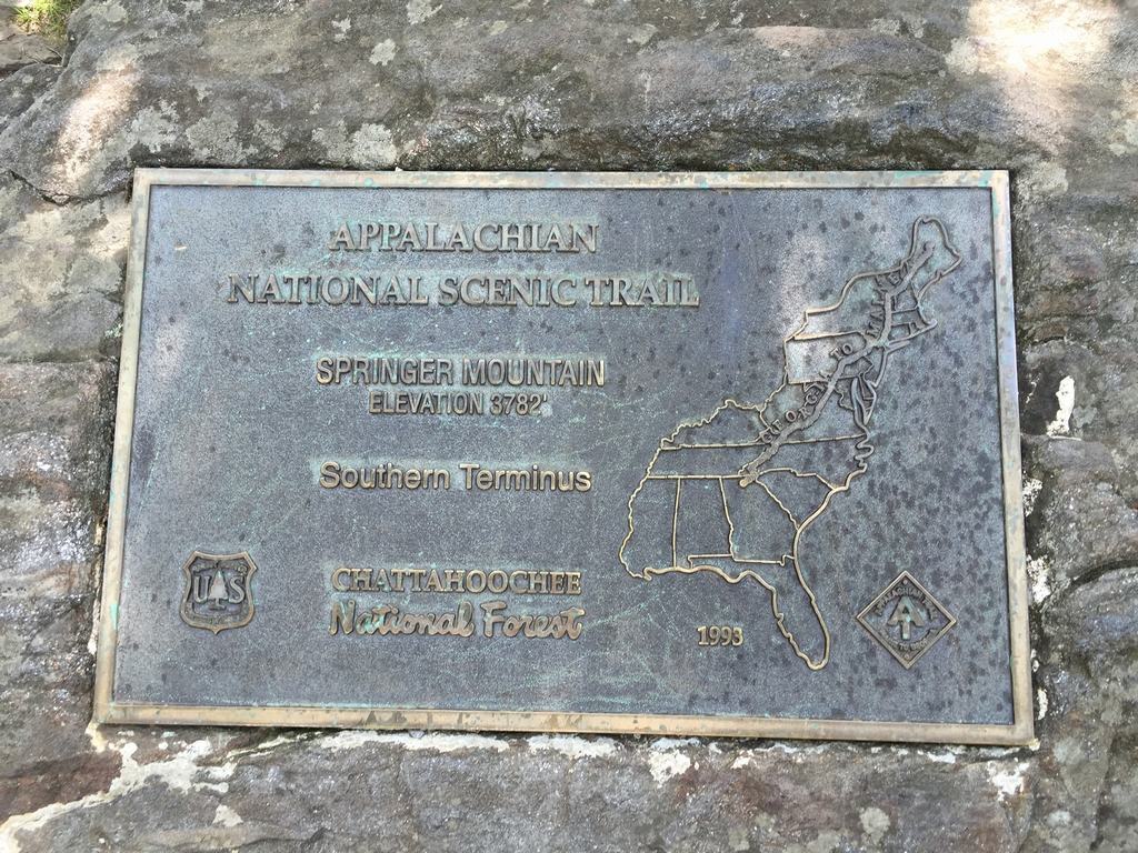
The car was completely covered in dust, but there were already information signs about the Appalachian Trail and Springer Mountain around the parking lot. And this was where things started to get really interesting.
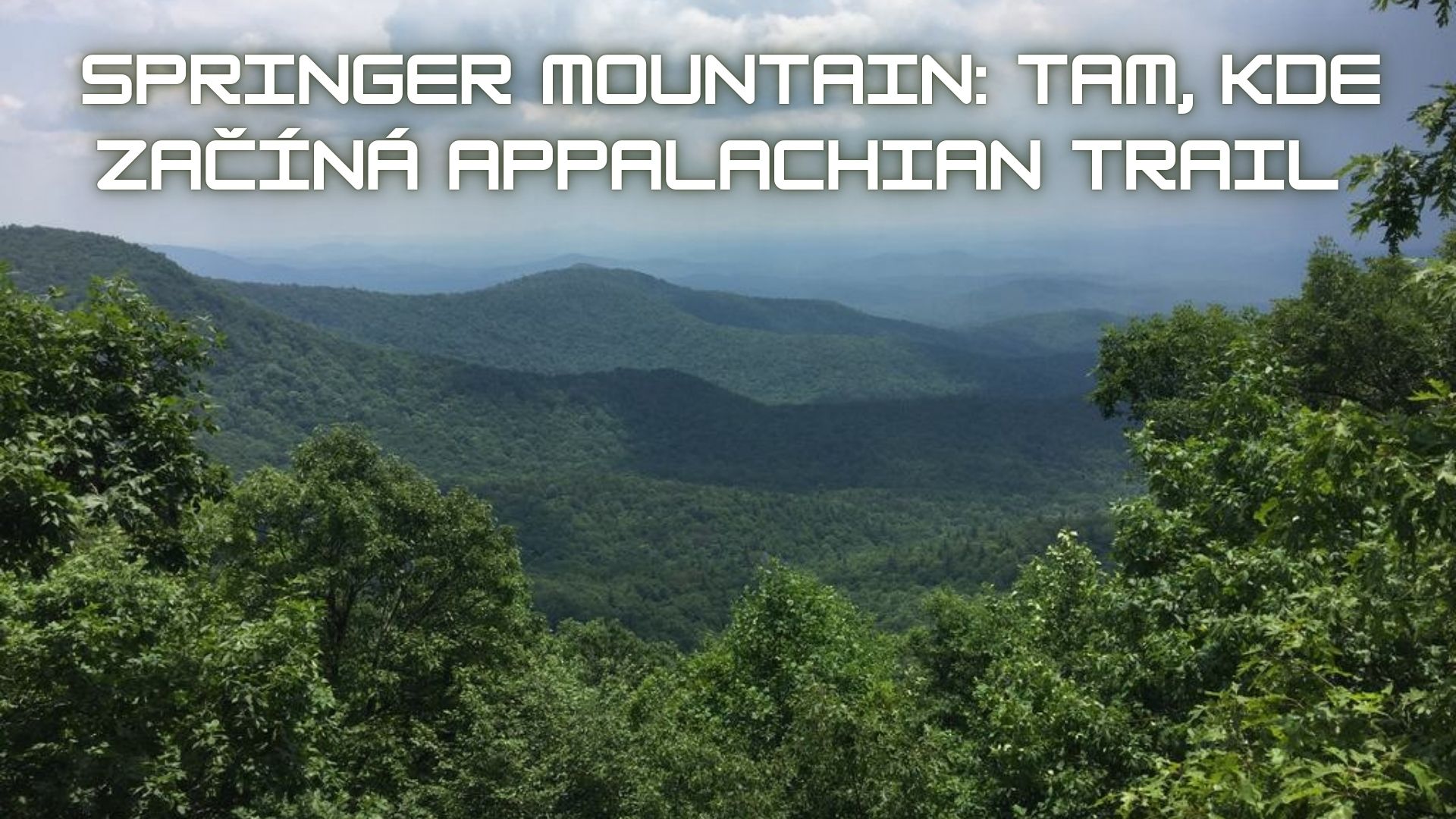
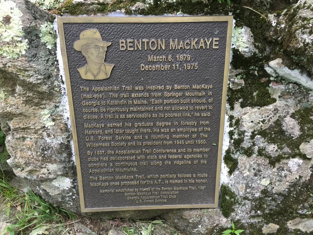
Springer Mountain is the official southern terminus of the Appalachian Trail, one of the world's best-known long-distance trails. The entire trail is approximately 3,500 kilometers long and runs from Georgia all the way to the state of Maine. Every year, thousands of people attempt to hike the entire trail—and only some of them actually succeed. This is where it all symbolically begins… or ends, depending on which direction you're going.
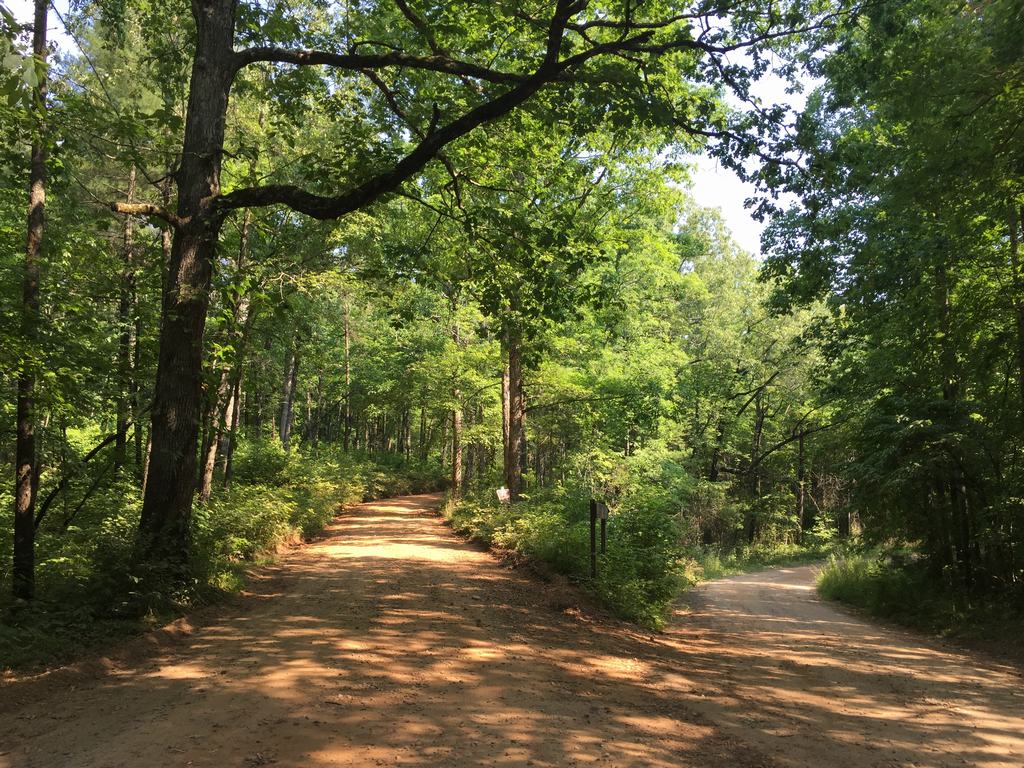
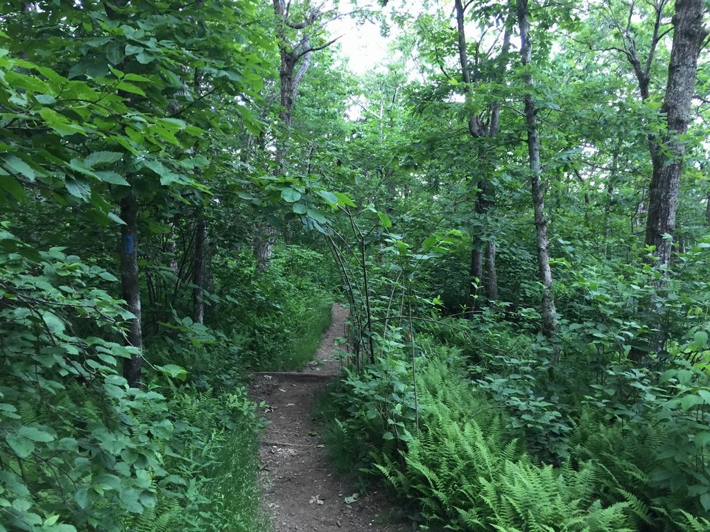
There was a narrow path near the parking lot. I had studied the route, so I followed it. After about ten minutes, however, the path disappeared, and I found myself standing in the middle of the forest. I fought my way back through the bushes to the road I could see nearby and returned to the parking lot where I had started. It wasn't until my second attempt that I noticed an inconspicuous sign pointing toward Springer Mountain.
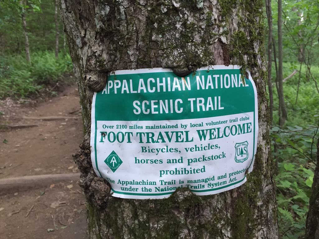
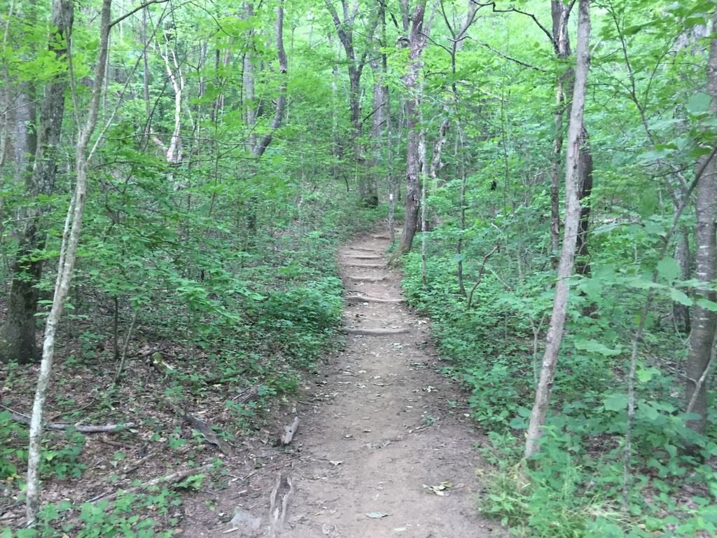
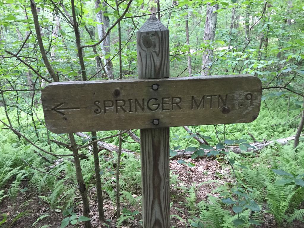

When technology doesn't help (but people do)
On the way up, I downloaded hiking maps for all of America over LTE. I use the Terra Map app for iPhone and otherwise swear by it. Thanks to it, I gradually managed to get everywhere I needed to go… well, almost every time.
While hiking uphill, I met a few other hikers. I asked them for directions and triumphantly showed them the map in my new GPS app. They were very helpful and advised me to go back down a little and turn right.
I went down and turned right… just one turn too early 🙂
I ended up at a campground with a creek, where another hiker was taking a break. We greeted each other, and I continued on. Over the next half hour, we ran into each other about three more times because the GPS showed me a slightly different direction each time in the dense forest.
The lesson? You can't blindly trust technology.
Eventually, I met the same people who had given me directions at the top. The man started laughing as soon as he saw me and told me that the trail didn't go this way and that I wouldn't get anywhere. I had to return to the junction, continue downhill, and only then turn off.
The second time, it worked, and I was exactly where I wanted to be.
Rain, forest, and why it was all worth it
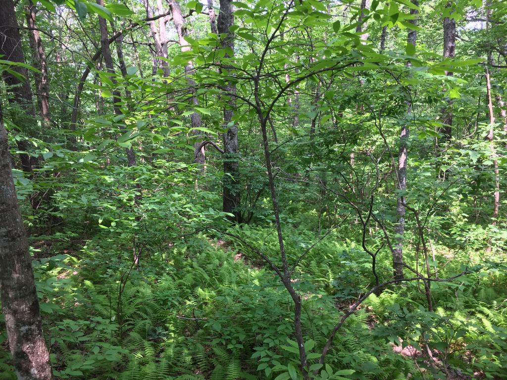
It reminded me of the Smoky Mountains, which I loved visiting. A beautiful forest, constantly changing scenery, and wild nature almost untouched by people.
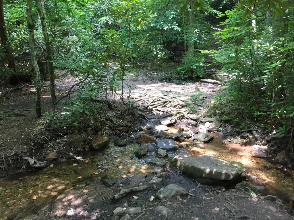
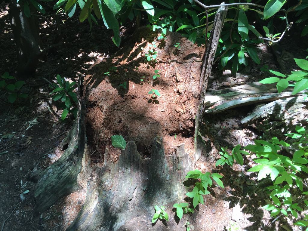
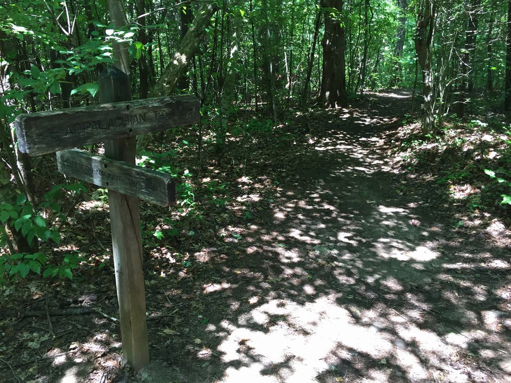
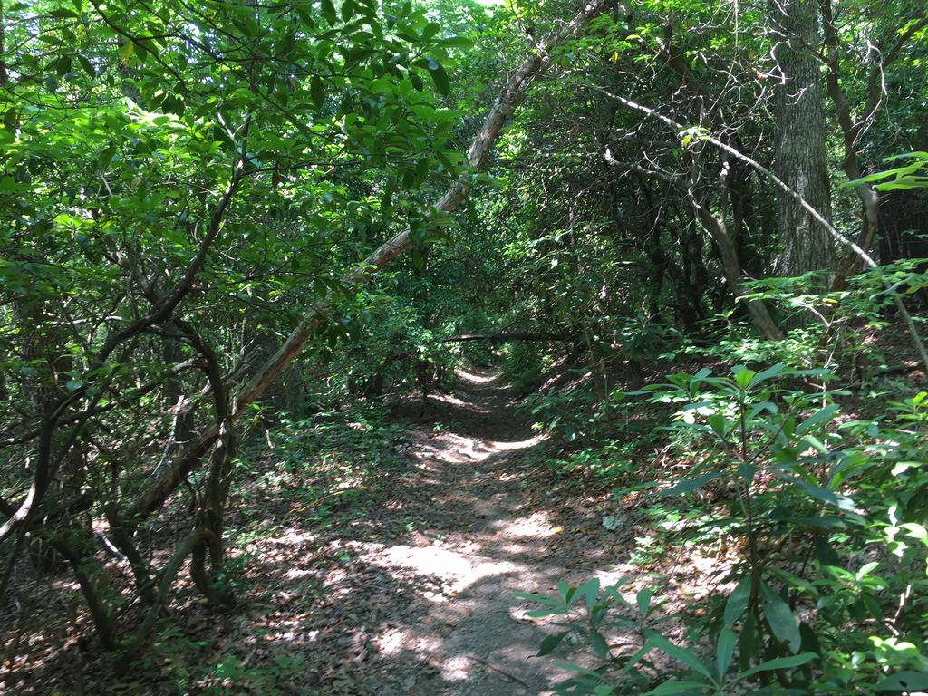
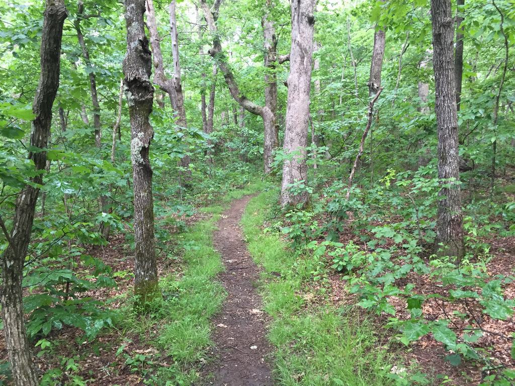
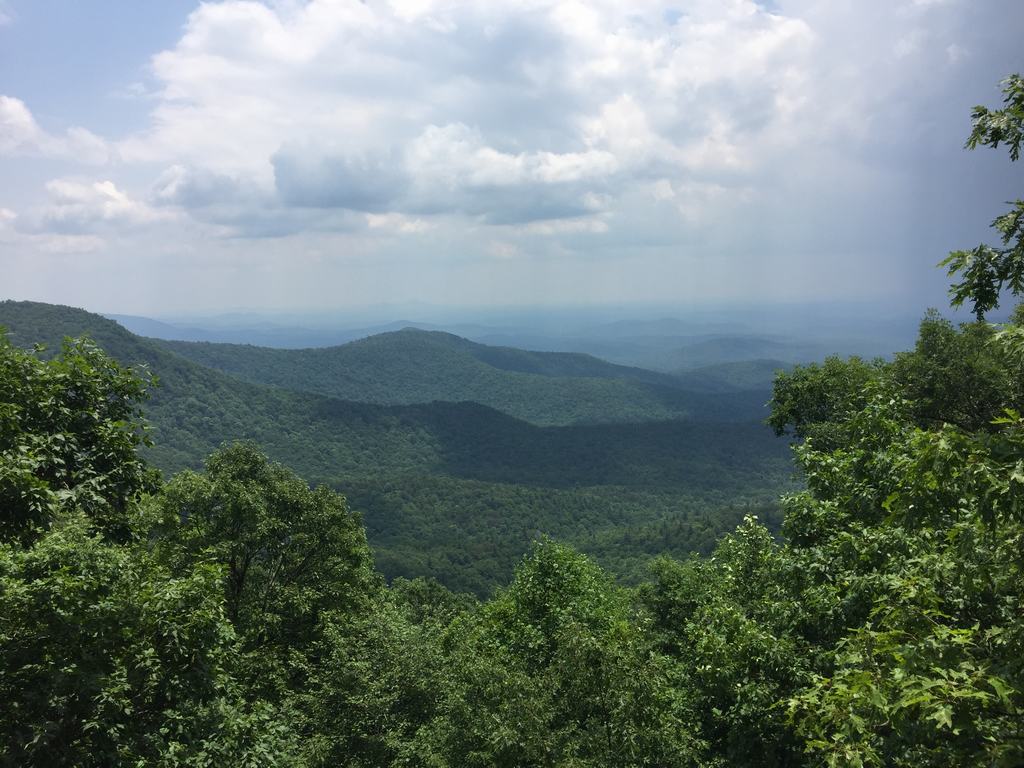
Halfway through the hike, it started to drizzle. I didn't notice the rain at first because the tree canopy sheltered me quite well. According to the map, I was approaching my destination—the viewpoint that had made me go through everything that day. I wanted to find out whether Google had lied.
I got quite soaked, and my shoes were already damp, but smiling people were walking past me, clearly not bothered by the rain at all. So I adopted exactly the same attitude. By the time I reached the viewpoint, the rain had stopped and the sun had come out.
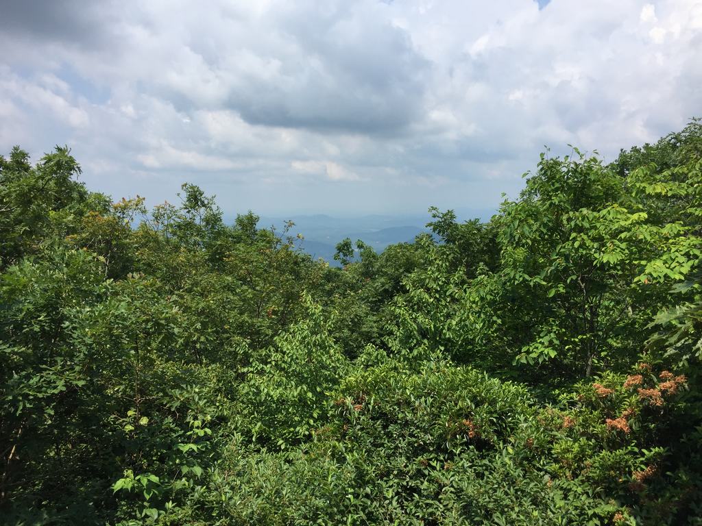
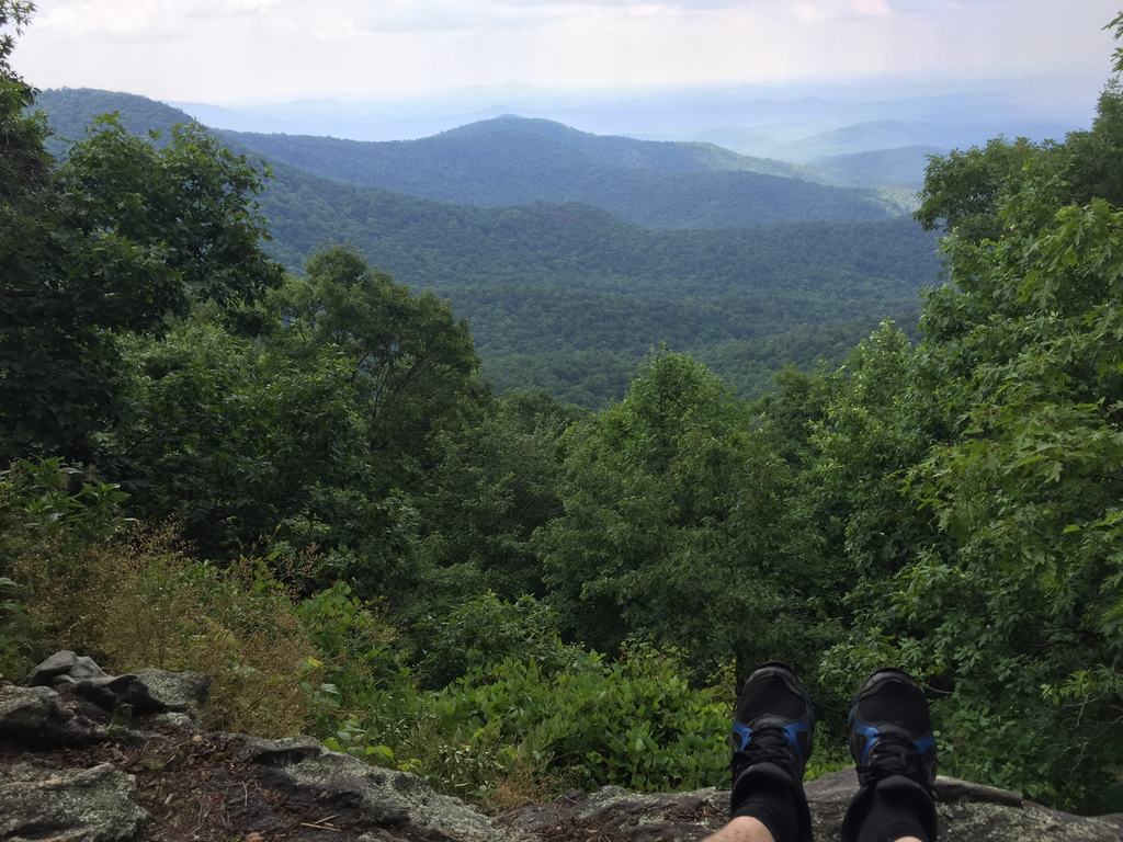
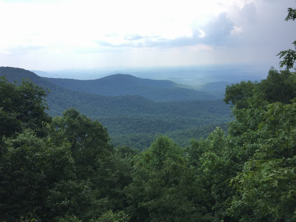
I sat down on the edge of the rock, ate my snack, and looked out over the vast surroundings.
It was worth it.
A turtle to finish the day
After completing the loop, I drove back down to the main road, which connects to the highway toward Atlanta. And right at the end of the trip, there was one more small but powerful experience.
There was a turtle on the road. I was afraid someone might run it over, so I picked it up by its shell and carried it to the grass, where it could continue on its way undisturbed.
Note: you should always pick up a turtle by its shell and lift it. They have enormous strength in their legs, and you can't simply push them out of the way. And watch out for the head—they have sharp teeth, and their bite really hurts 🙂

Springer Mountain wasn't just a short hike for me. It was an encounter with the history of one of the world's most famous trails, a test of patience with GPS, and a reminder that even a day trip can bring more adventure than you expect.