I had been looking forward to Bryce Canyon for a long time. When I was planning a road trip from Las Vegas, it was clear that this had to be one of the first stops. And honestly? Even the best photos on the internet didn't prepare me for what I saw there with my own eyes.
The Journey from Las Vegas to Bryce Canyon
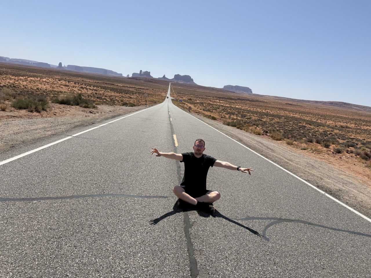
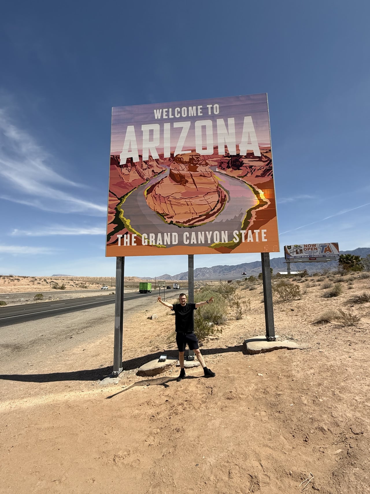
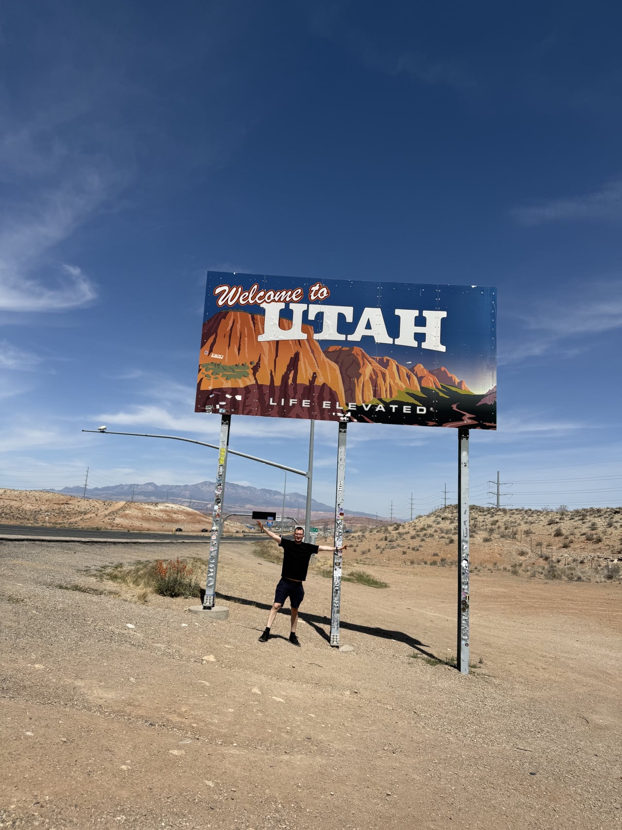
Google Maps showed roughly 3 hours and 46 minutes, but in reality, the journey took us around 4–5 hours. You drive through Arizona into Utah, passing “Welcome to Utah" signs and other places where you simply have to stop and take a photo. Add refueling, restroom breaks, and snacks—and suddenly you're an hour behind schedule.
My refueling tip: I have one simple rule when traveling around the USA—as soon as my tank drops below three-quarters full, I fill it up at the first gas station I come across. Having a full tank has paid off many times because there simply aren't any gas stations on some routes. And believe me, calling a tow truck somewhere in the middle of the desert, where you can barely get a signal, is no fun. So if you're heading to national parks or anywhere outside a city—fill up whenever you have the chance.
Weather in Bryce Canyon—Be Prepared for Surprises
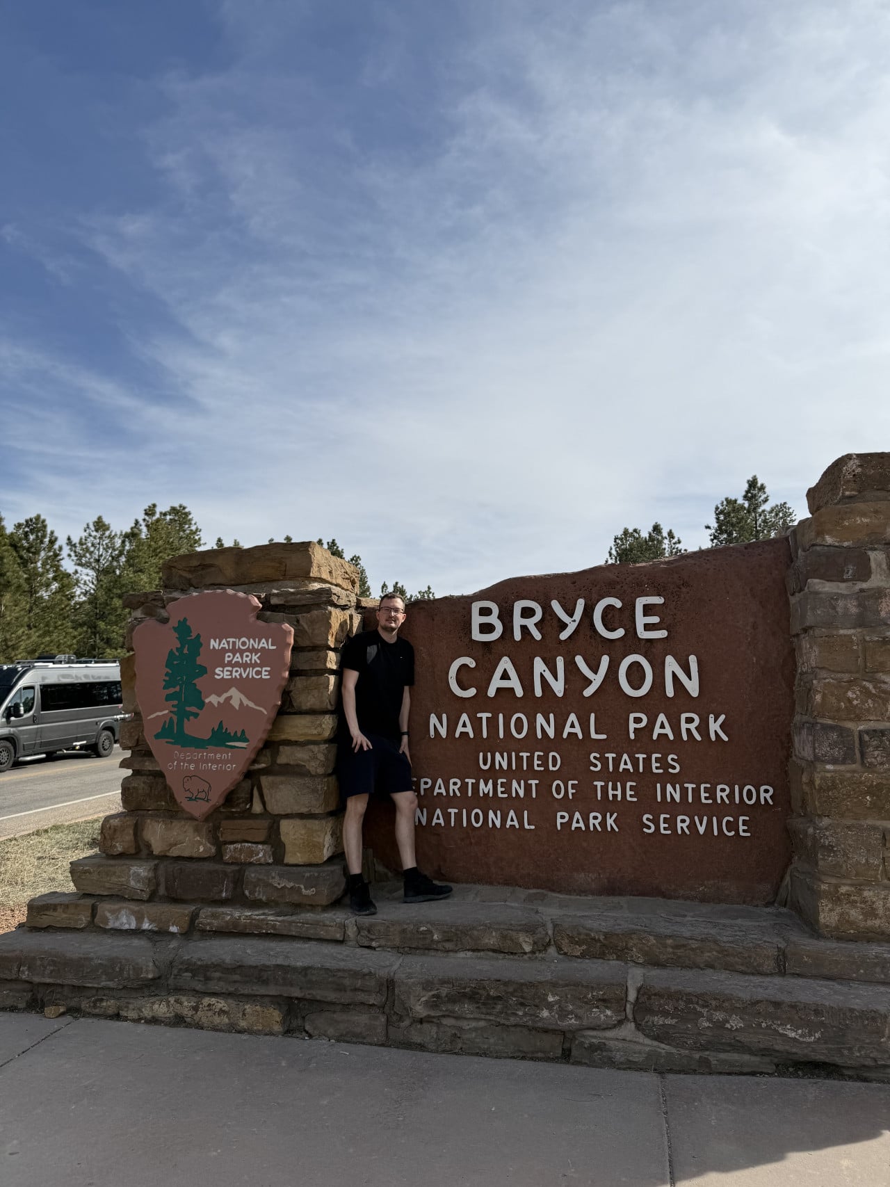
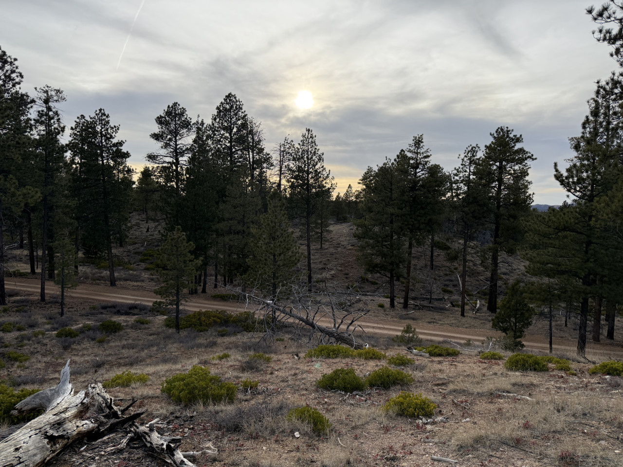
This is something that personally caught me off guard. The weather in Las Vegas was beautiful, so I wore shorts and light clothing. But Bryce Canyon lies at an elevation of between 2,400 and 2,700 meters, which is significantly higher than Vegas. And that means the weather there is completely different.
We visited in early April, and it wasn't very warm. It was fine while the sun was still shining, but as soon as it began to set, it got pretty cold. I stood there in shorts and realized that I hadn't thought it through very well.
Fortunately, there was a gift shop right by the park entrance where I bought a light jacket for about 150 dollars. And it was one of the best investments of the entire trip—I still wear it today, even here in the Czech Republic, for example when I go to see the horses. It's light, but keeps me exactly as warm as I need and is suitable even for temperatures around freezing.
Tip: Even if you're coming from warm Las Vegas, always pack at least one warmer layer. Bryce Canyon is at a high elevation, and the weather changes quickly. Especially in spring, of course, you may even encounter patches of snow.
First View of Bryce Canyon—Absolutely Stunning
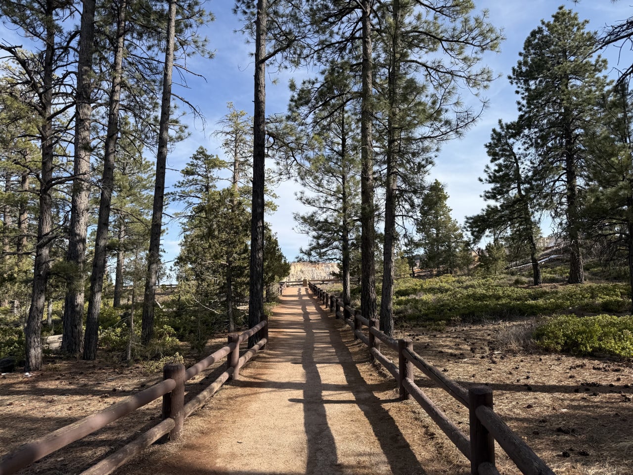
When we arrived at the parking lot and headed along the natural path with fencing toward the canyon rim, I could already tell from a distance that it was going to be something incredible. And it was.
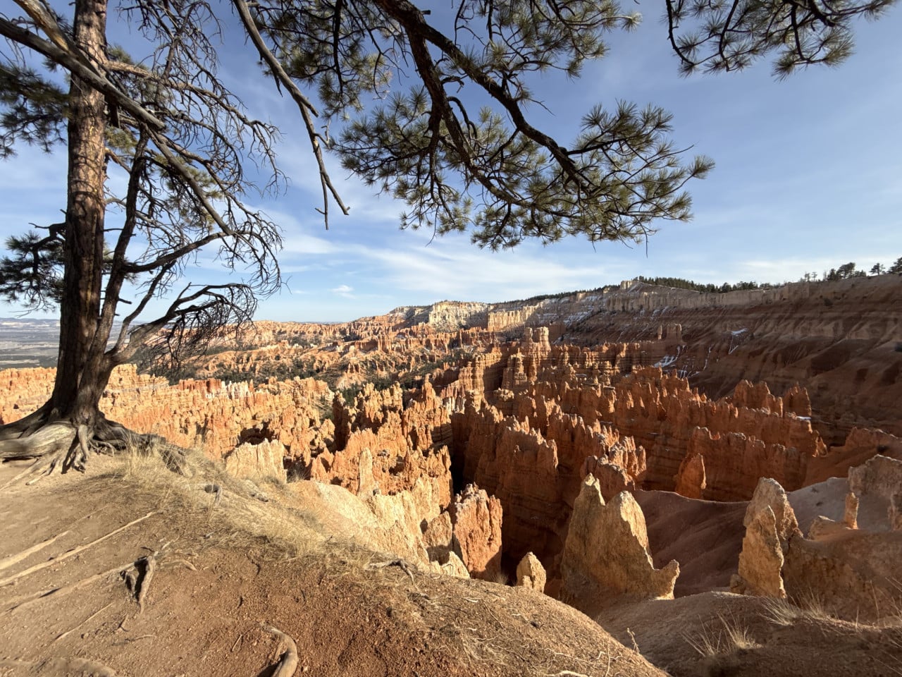
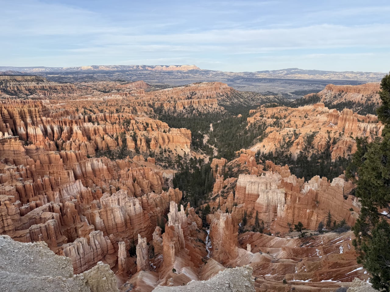
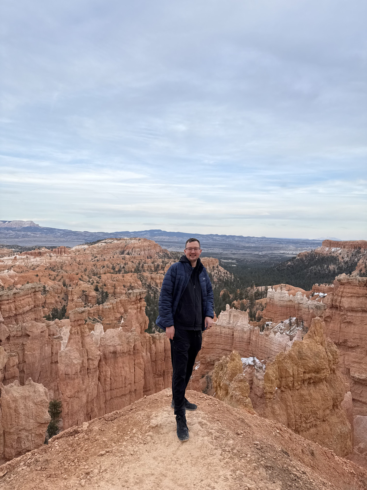
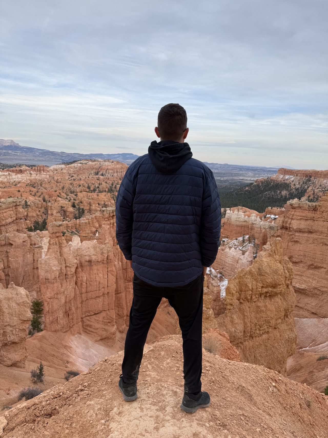
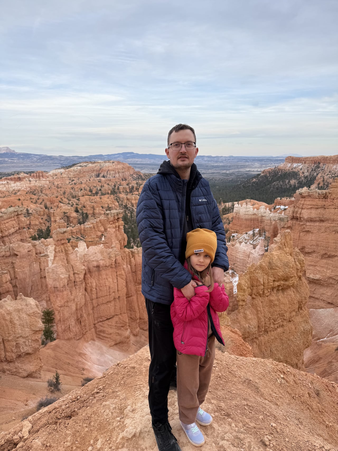
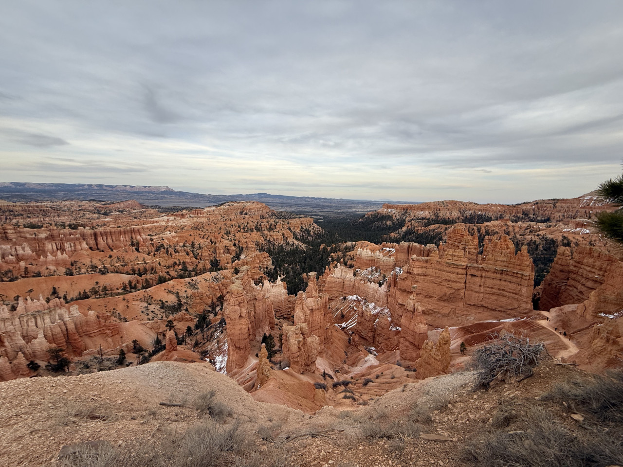
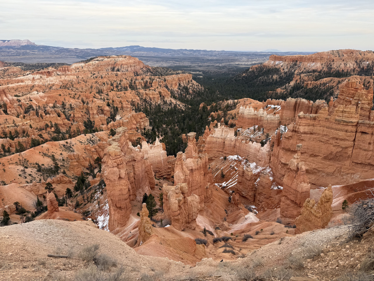
That first view, when a huge amphitheater filled with thousands of stone towers in shades of red, orange, and white opens up before you—it's impossible to describe. You can see below and all around you, and you feel as though you've found yourself on another planet.
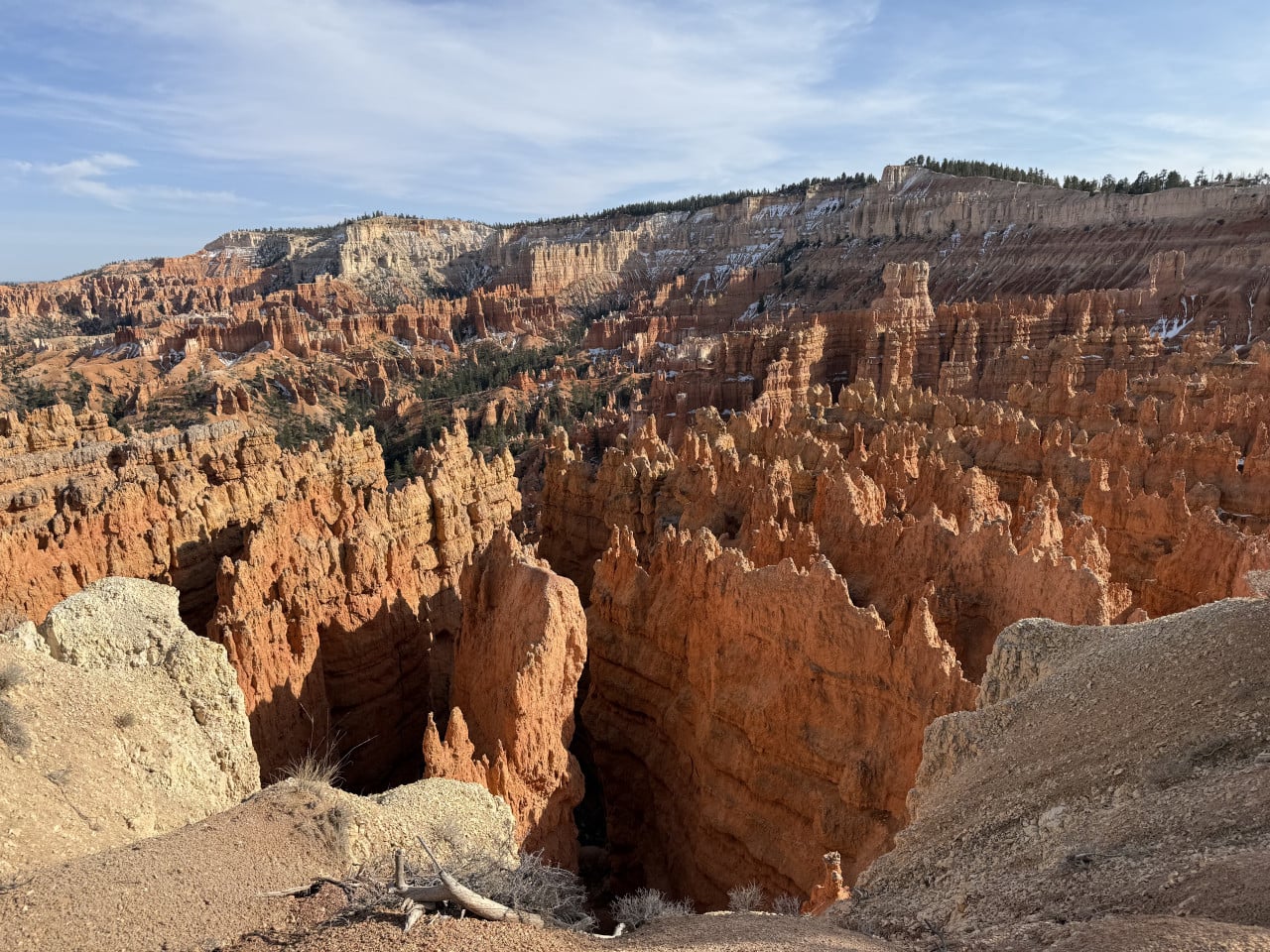
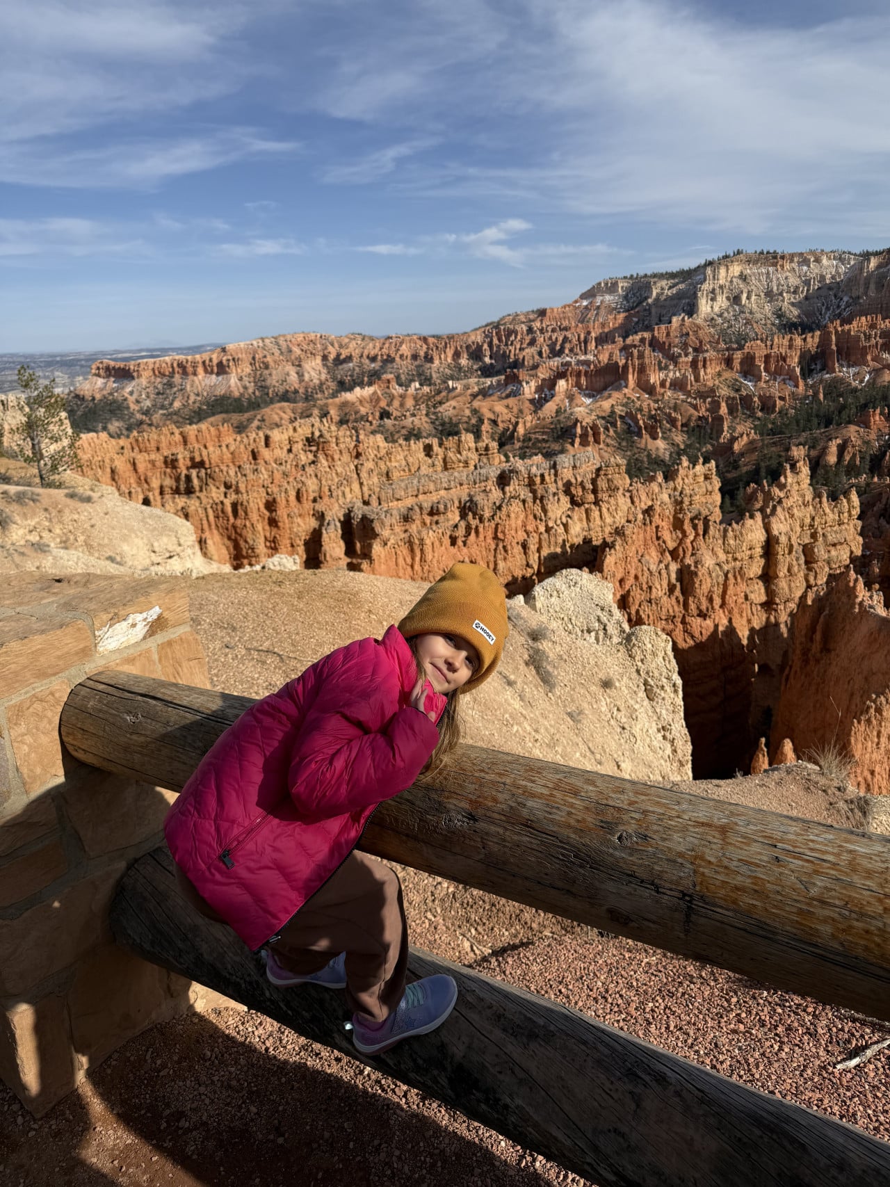
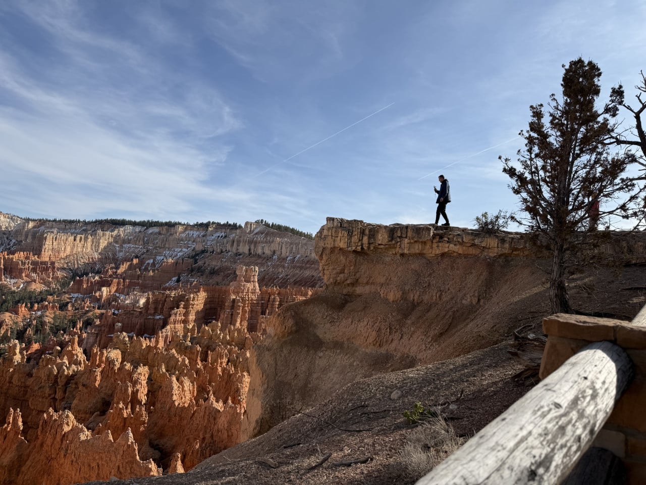
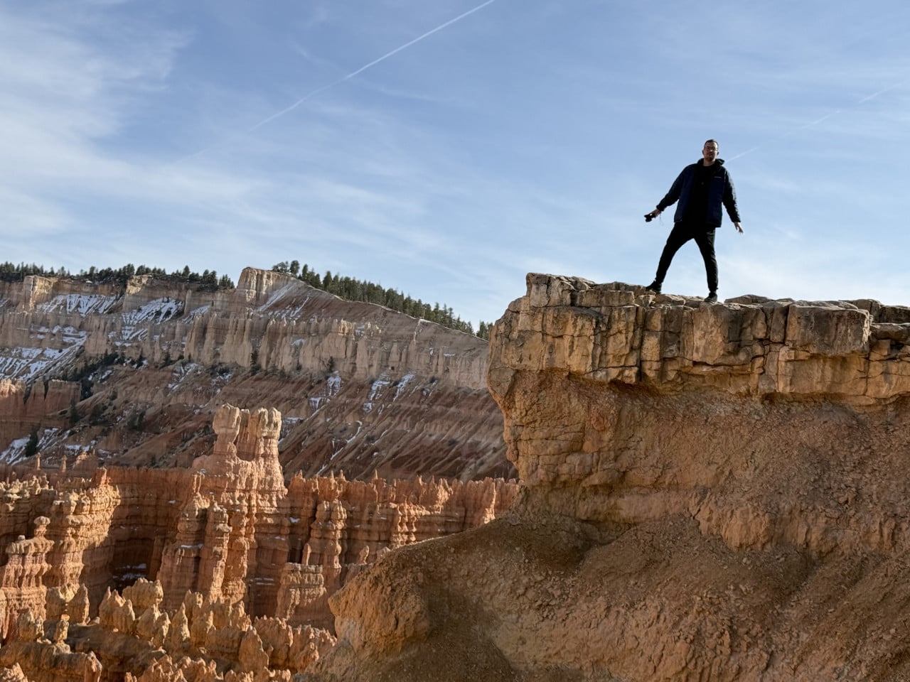
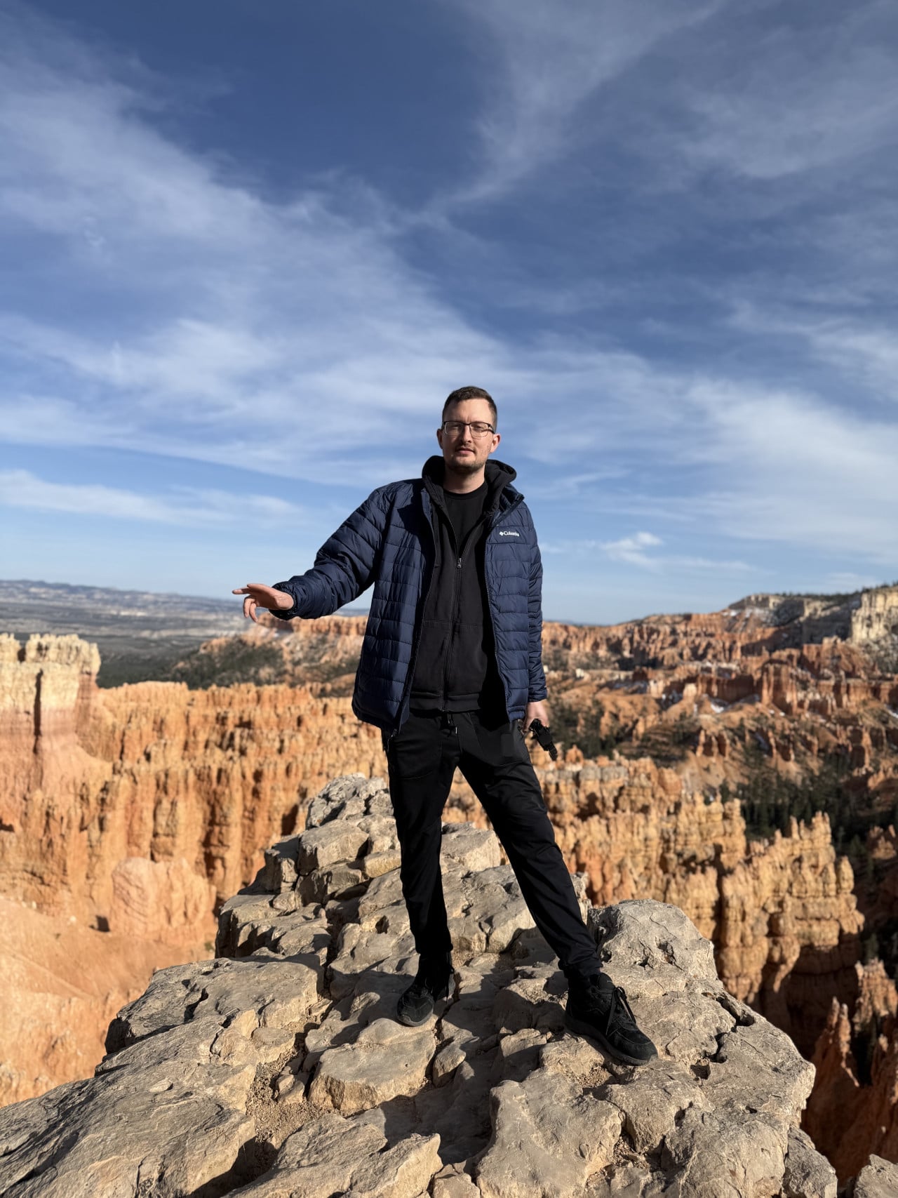
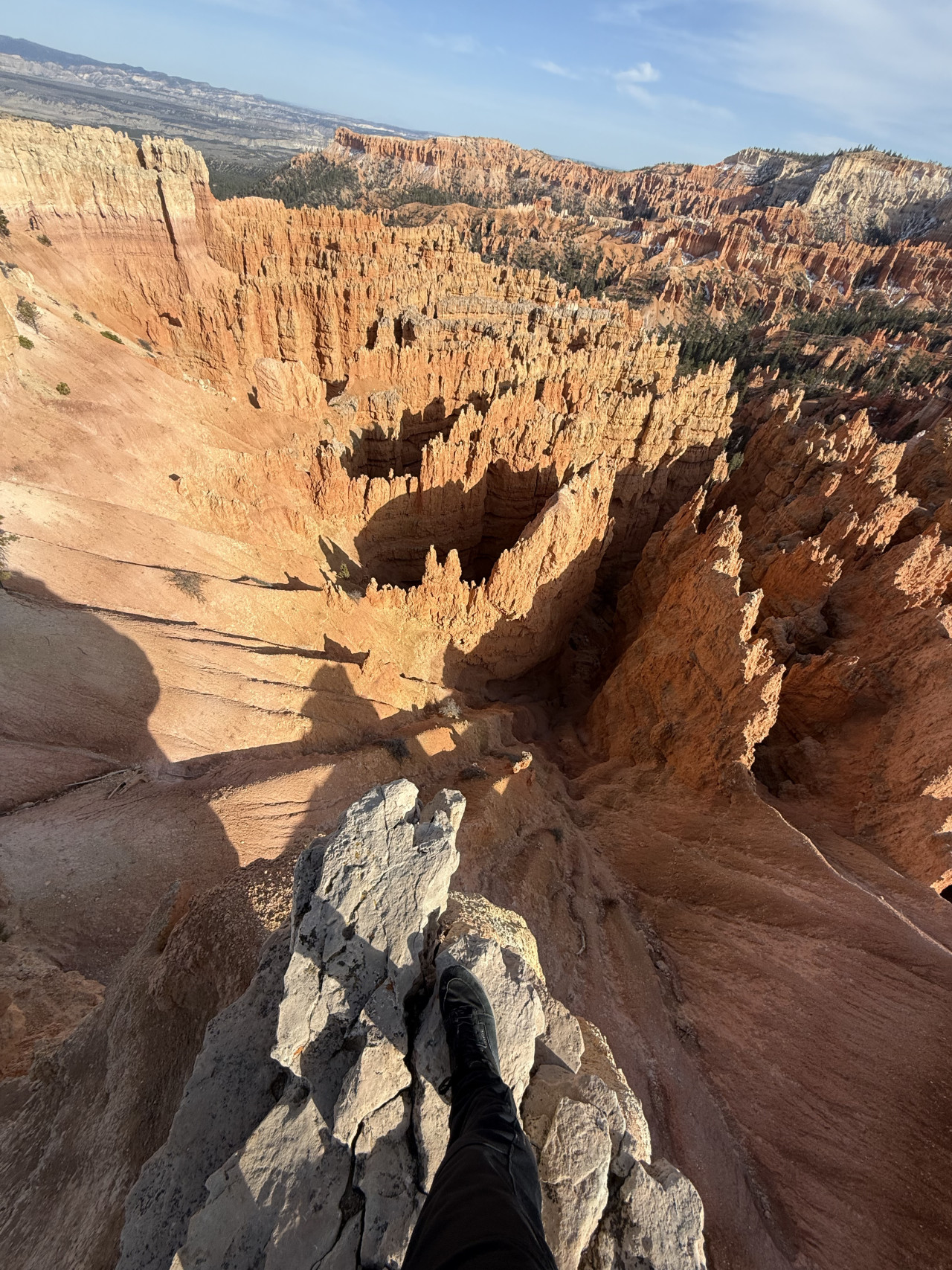
Right at the beginning, there was a small ledge where we took photos with a view straight down into the canyon. But I have to say—be careful. I stood right at the edge, putting my foot almost on the brink, and it really is a huge drop. Falling is just one wrong step away. So take photos, but use common sense.
The History of Bryce Canyon—How It All Formed
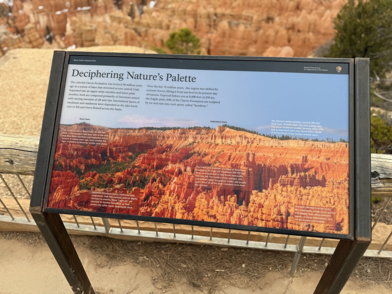
Bryce Canyon is actually not a canyon at all in the traditional sense of the word. A classic canyon is carved out by a river—the Grand Canyon, for example, was created by the Colorado River. But Bryce formed in a completely different way. It is actually a collection of enormous natural amphitheaters that were gradually “bitten" out of the edge of a high plateau called the Paunsaugunt Plateau (in the Paiute language, this means “home of the beaver").
The story of Bryce Canyon begins about 50 million years ago, when the area was covered by shallow lakes and river floodplains. Layers of mud, sand, and limestone accumulated on their beds and gradually hardened into sedimentary rock known as the Claron Formation. Iron and manganese in these deposits gave the rocks their distinctive red and pink coloring.
Then came tectonic activity, which lifted the entire area to an elevation of around 2,400–2,700 meters. And this elevation is crucial—Bryce Canyon is located in a kind of “Goldilocks zone" where temperatures fluctuate around freezing for more than 200 days a year. During the day, snow and rain seep into cracks in the rock; at night, the water freezes and expands by roughly 9%. This process, known as frost wedging, slowly tears the rock apart piece by piece.
This is how the famous hoodoos form—those slender, tall rock pillars that can range in height from a few meters to more than 60 meters. Some have a harder “cap" of more resistant stone (often dolomite) on top, which protects the softer rock beneath it. That's why they look like enormous mushrooms or statues.
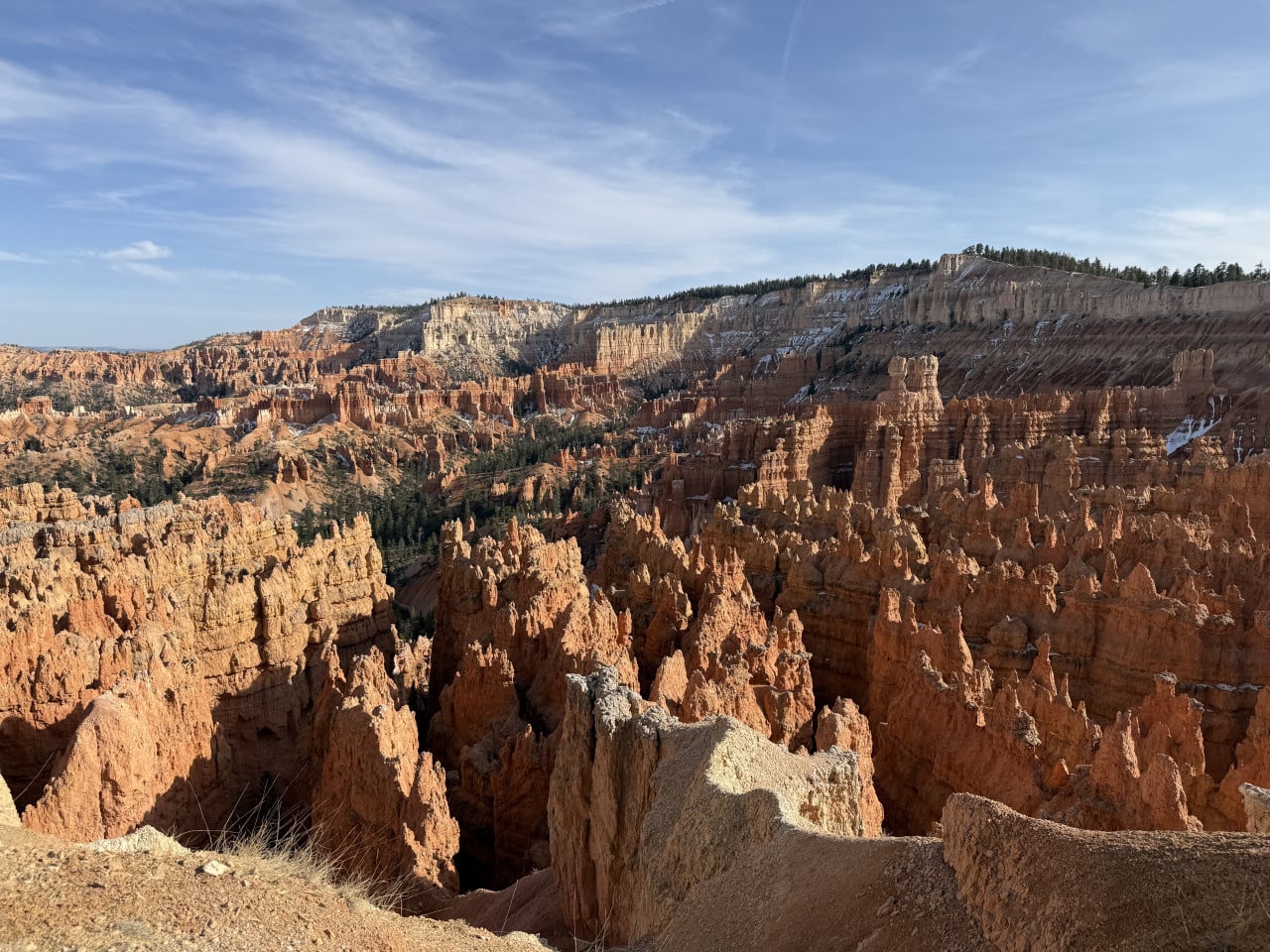
Interestingly, the same forces that create the hoodoos ultimately destroy them as well. Erosion progresses at a rate of about 60 centimeters to 1.2 meters per century. So the landscape you see today will look completely different in a few thousand years. Geologists estimate that the canyon will disappear entirely in about 3 million years.
And one more thing that fascinated me: Bryce Canyon is part of the so-called Grand Staircase—an enormous geological “staircase" of rock layers stretching from the Grand Canyon through Zion National Park all the way here. In the Grand Canyon, you see the oldest layers; in Zion, the middle ones; and here in Bryce Canyon, the youngest. It's like leafing through an enormous geology textbook.
A few more interesting facts worth mentioning:
-
Bryce Canyon has the largest concentration of hoodoos in the world—nowhere else on the planet are so many found in one place.
-
The park is technically the smallest national park in Utah and one of the smallest in the entire USA—it covers about 145 km².
-
At night, you can see more than 7,500 stars here (compared with only around 2,500 in most rural areas of the USA), and the park has International Dark Sky Park status.
-
The rocks in Bryce Canyon are at least 65 million years old, but paradoxically, they are the youngest on the entire Colorado Plateau.
The Legend of the “Legend People"
The local Paiute people had their own story about the hoodoos. They believed the rock pillars were actually “Legend People"—beings whom the trickster Coyote turned to stone as punishment for their bad behavior. A Paiute elder named Indian Dick told a park superintendent in 1936 that his people called the hoodoos “Anka-ku-was-a-wits," which means “red-painted faces" in Paiute. It is said that if you look closely at the red rocks, you may see the faces of those who were turned to stone.
And the name of the canyon itself? It comes from a Scottish immigrant named Ebenezer Bryce, who was sent here in 1874 by the Church of Jesus Christ of Latter-day Saints to put his carpentry skills to use. Bryce grazed cattle here, and when his cows once wandered into the maze of rock towers, he uttered the legendary sentence that went down in history: “It's a hell of a place to lose a cow!"—loosely meaning “What a hellish place to lose a cow." The locals then began calling it “Bryce's Canyon," and the name has remained to this day.
Bryce Amphitheater and Beyond—Our Hike
We followed the trail around Bryce Amphitheater, the main and largest amphitheater in the park—it is about 19 kilometers long, 5 kilometers wide, and around 240 meters deep. It is by far the most photogenic part of the entire park.
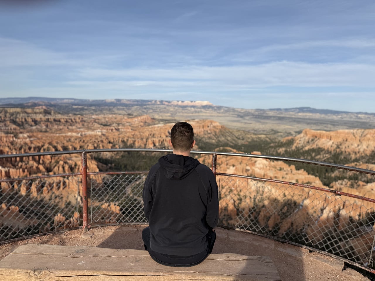
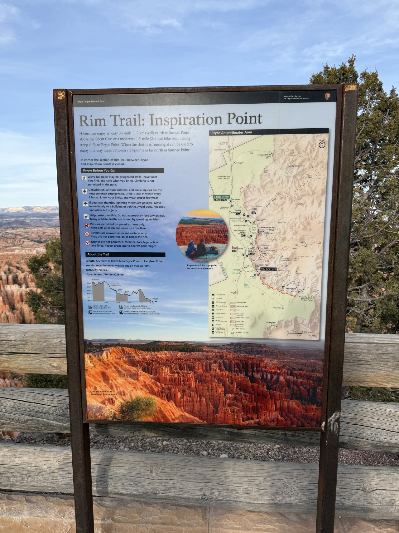
We also visited nearby Inspiration Point.
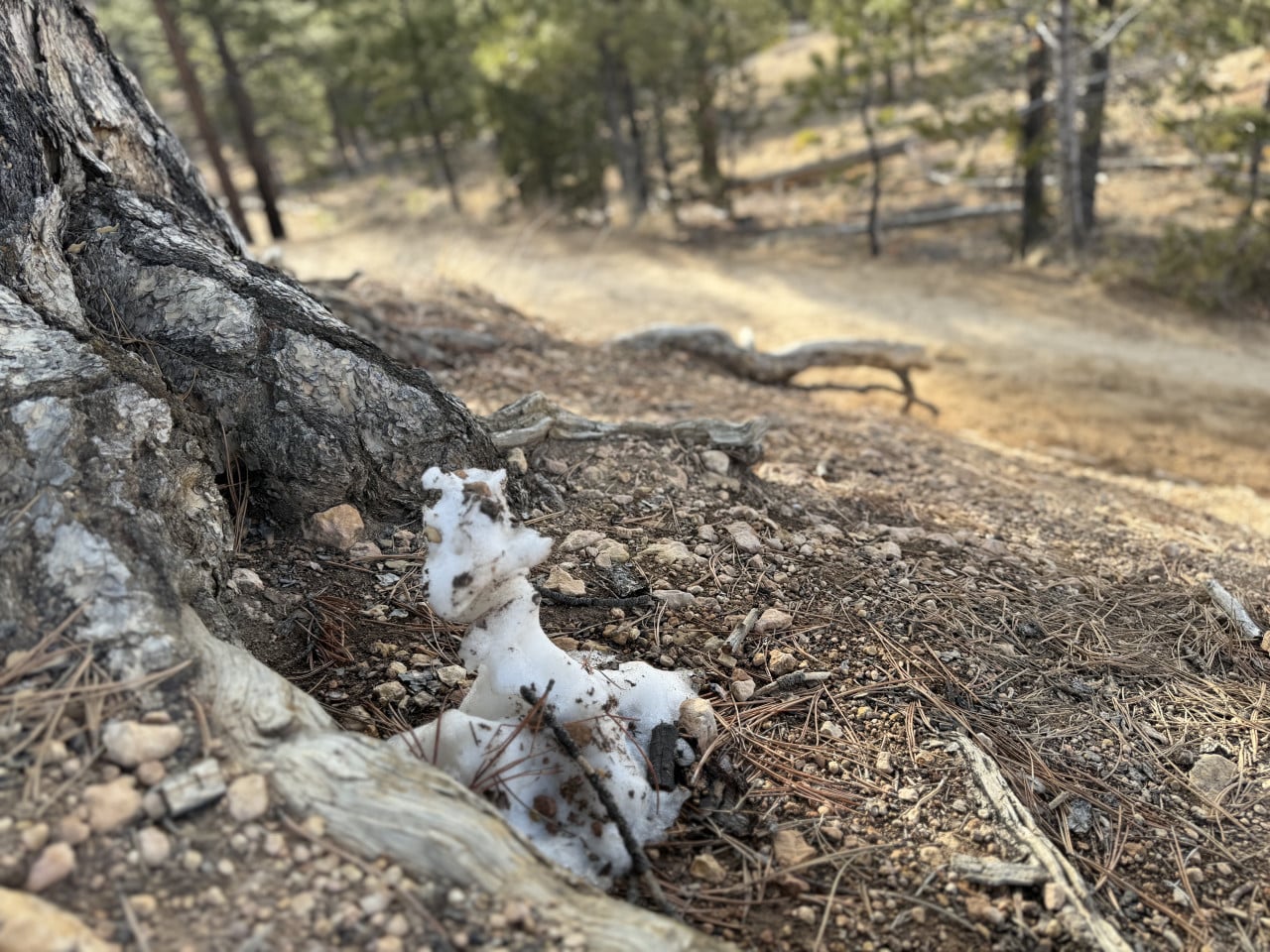
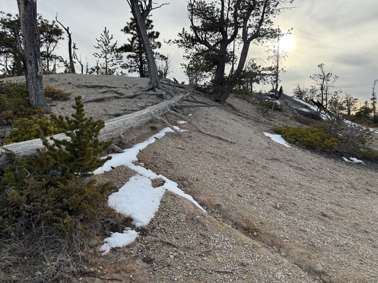
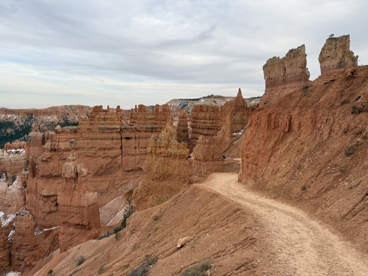
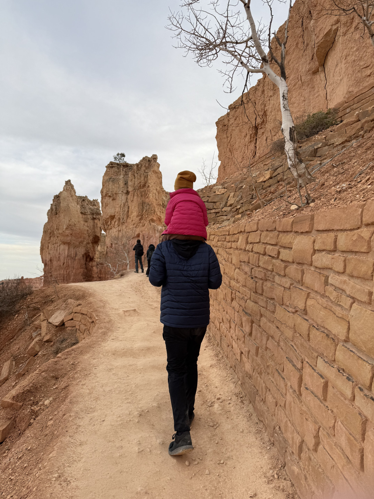
From the parking lot, we headed right along the trail and walked all the way to the far end, where there was a beautiful viewpoint. Along the way, we passed incredible formations, and there was still snow in some places even though it was April. Everything was perfectly signposted, so there was no risk of getting lost.
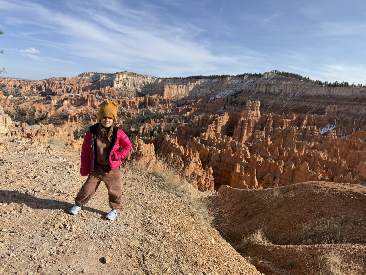
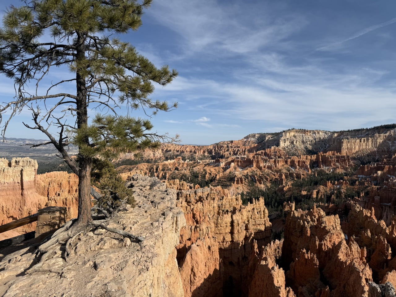
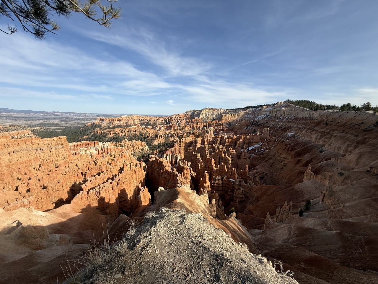
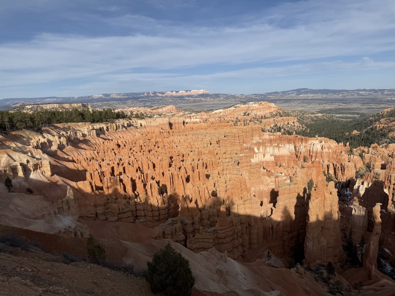
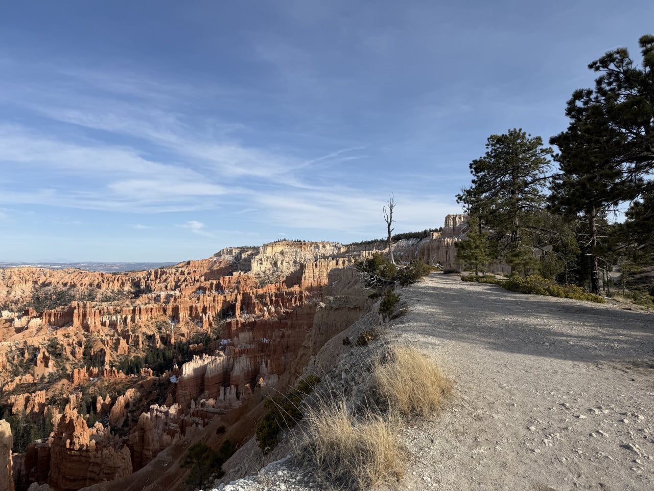
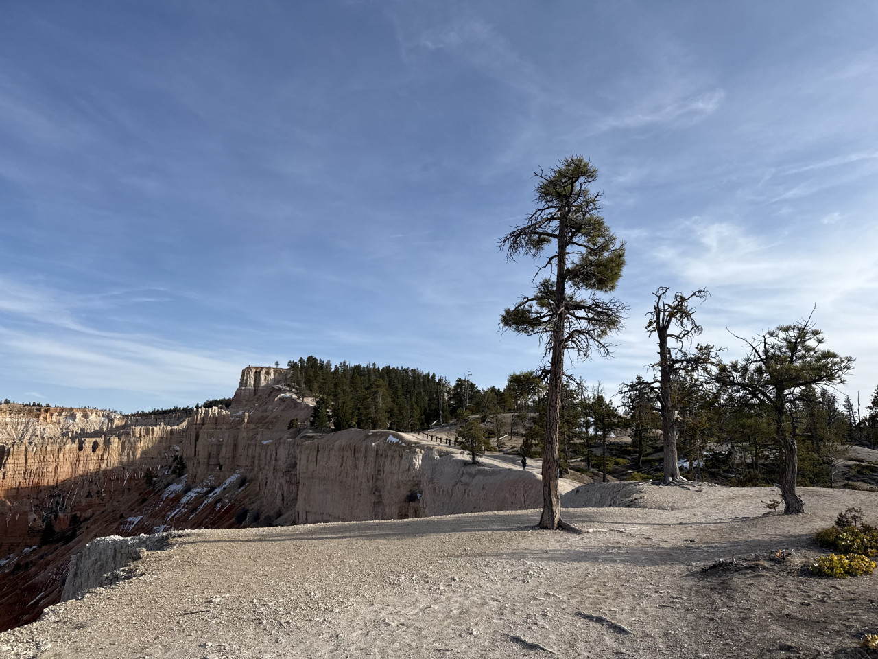
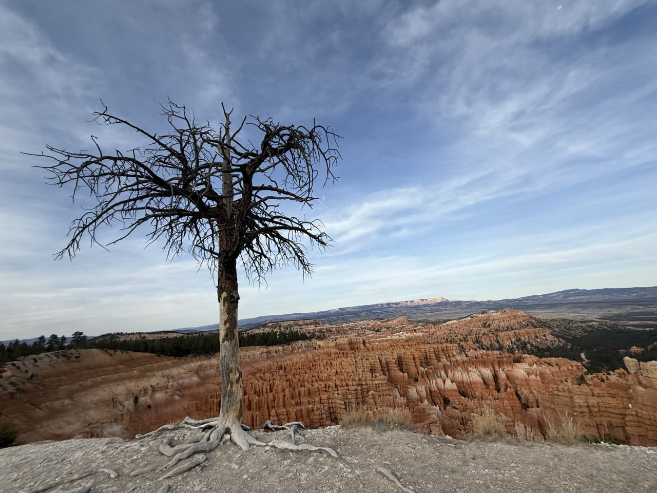
We reached Bryce Point, and that view—it was something else. You can see the entire amphitheater below you, thousands of hoodoos in different shades, and even the town of Tropic in the distance. I definitely recommend it.
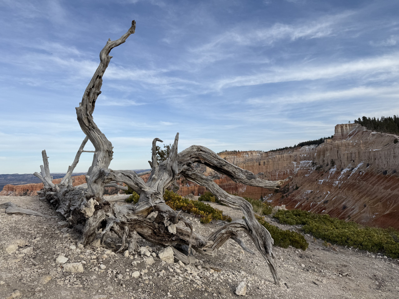
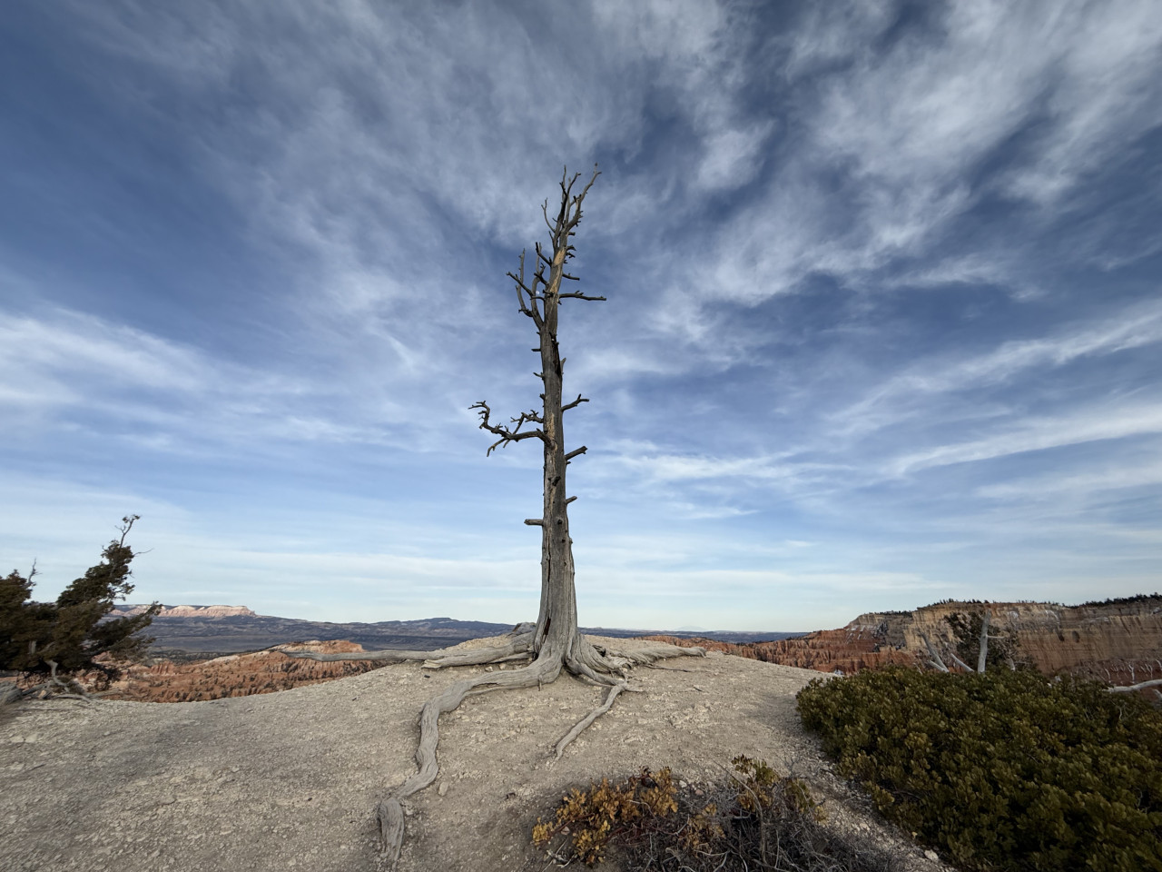
Another thing I really liked—on the way back, there were beautiful dead trees everywhere, and the panoramic view changed from every angle. It looked slightly different every few meters, so I definitely recommend walking the whole route because it really is worth it.
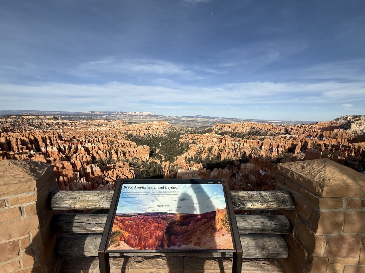
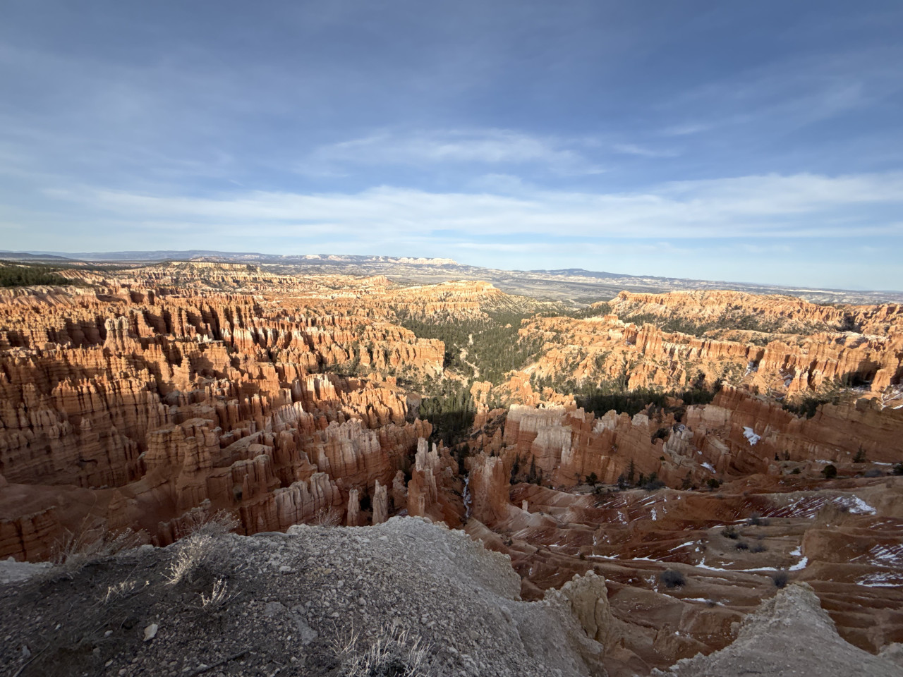
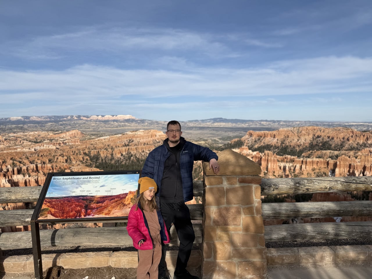
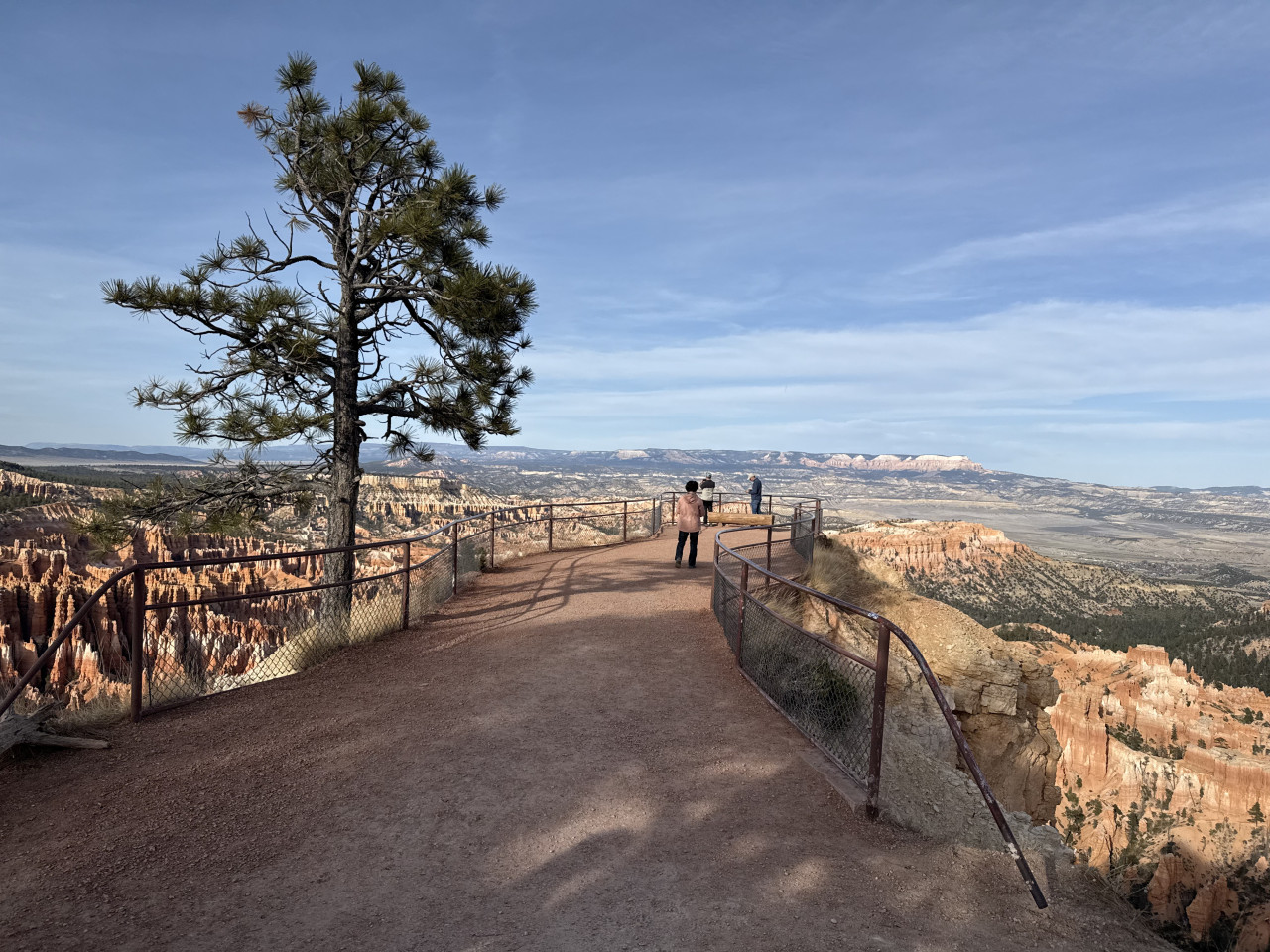
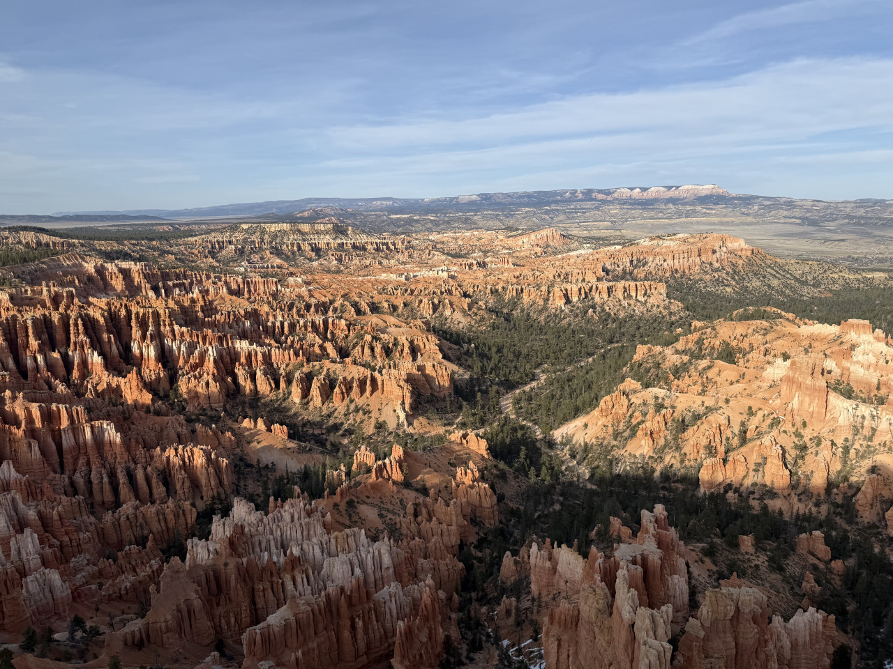
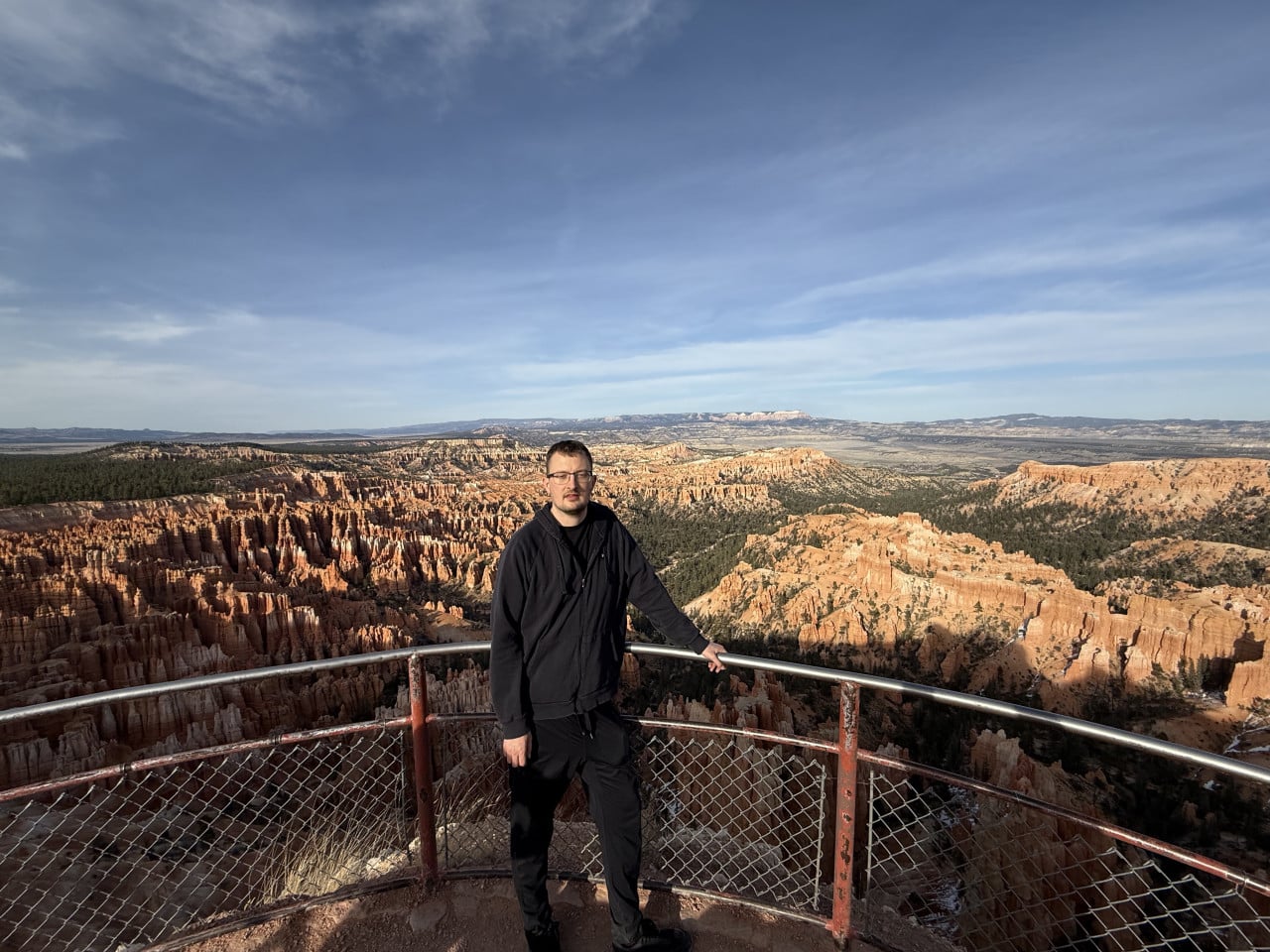
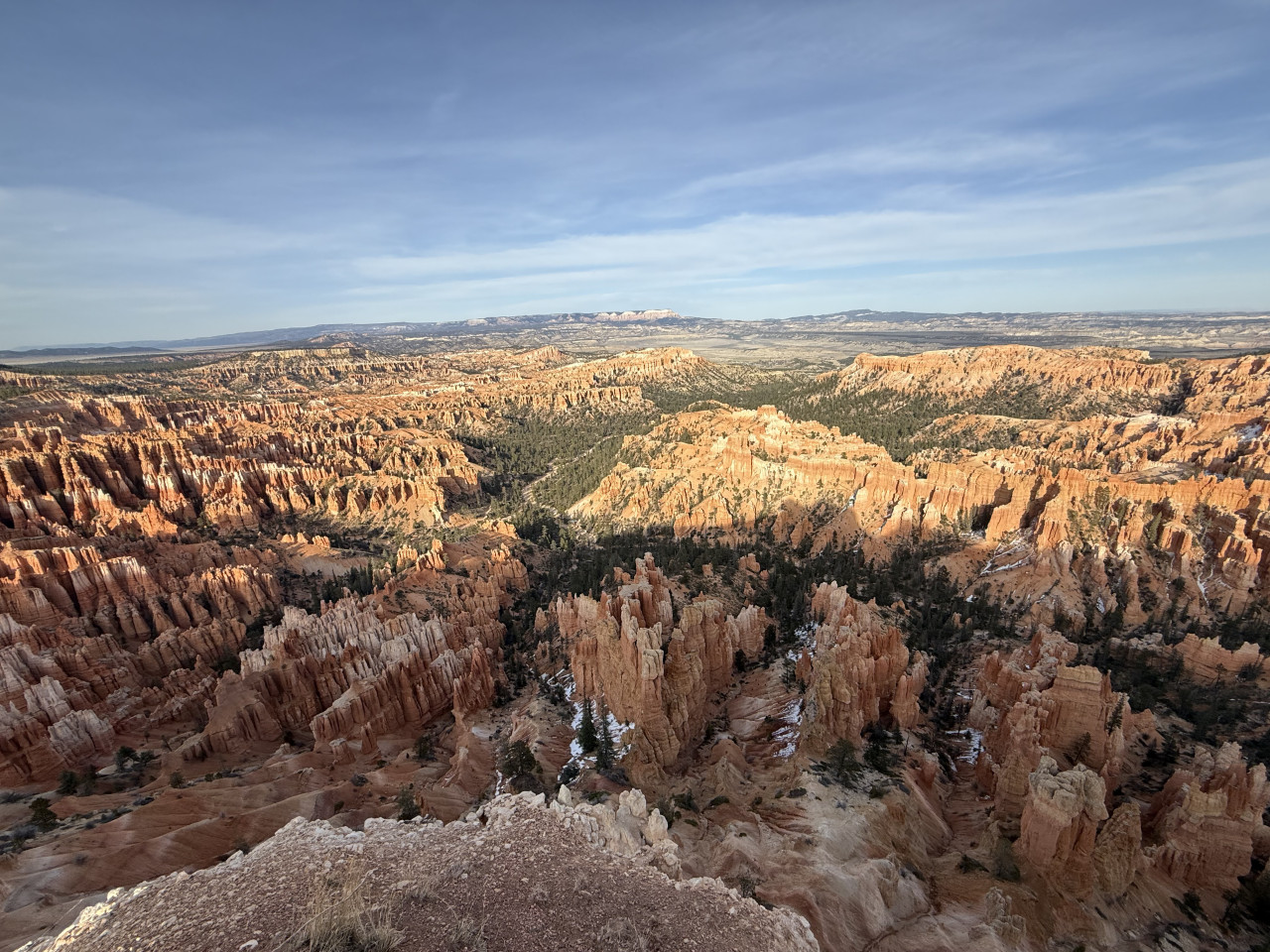
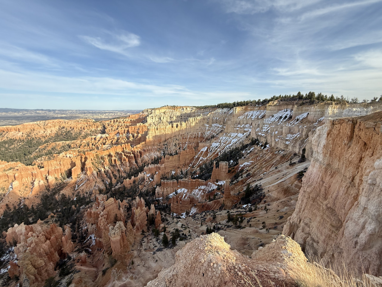
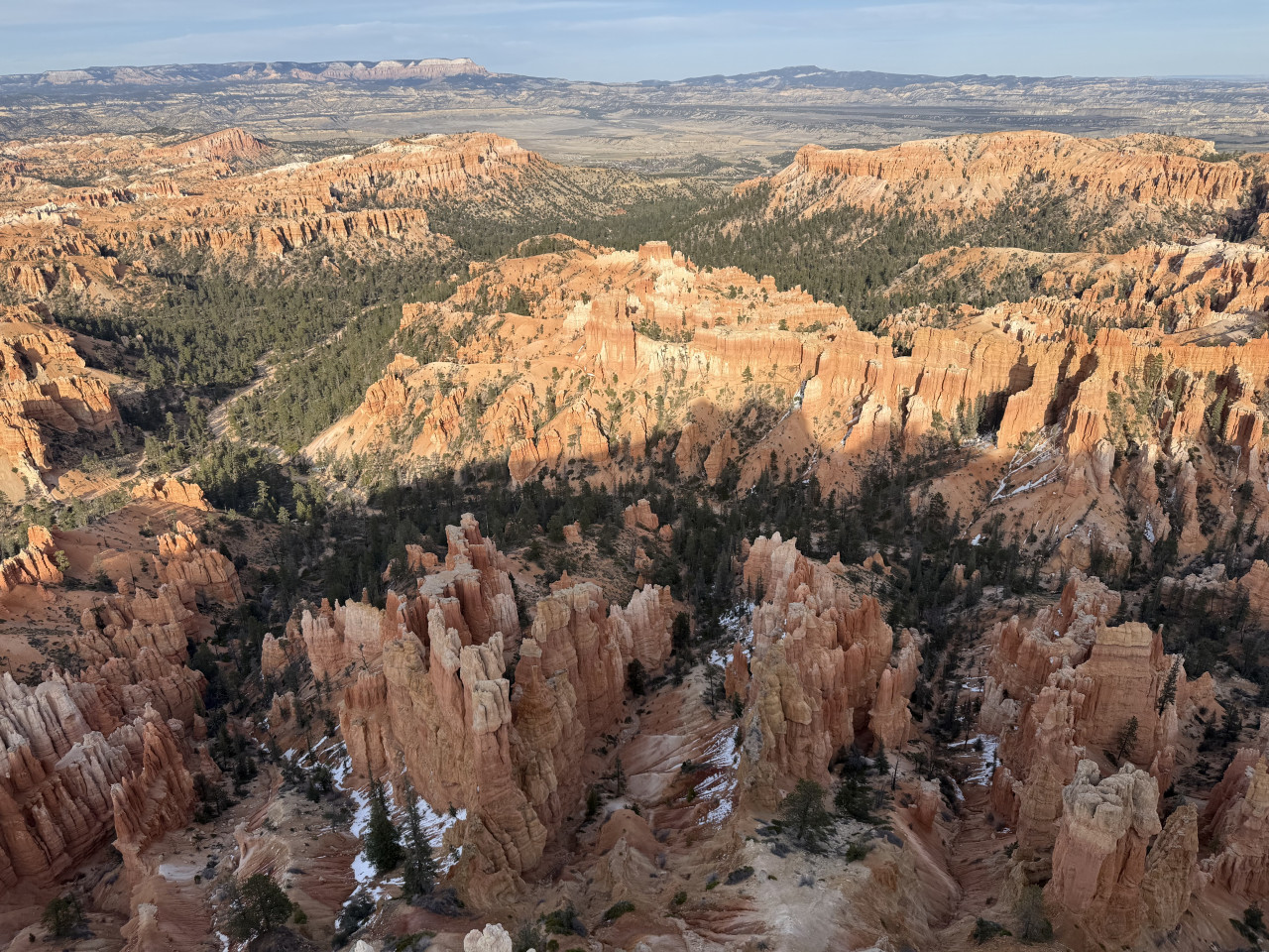
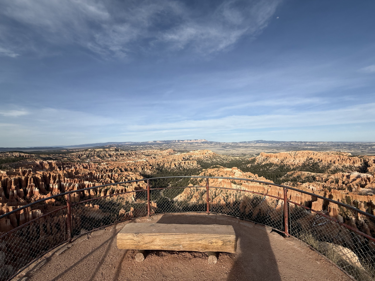
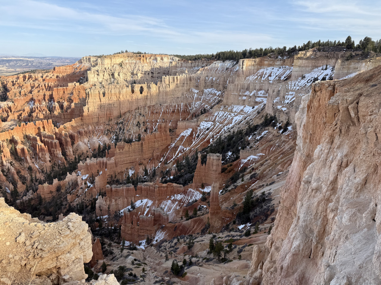
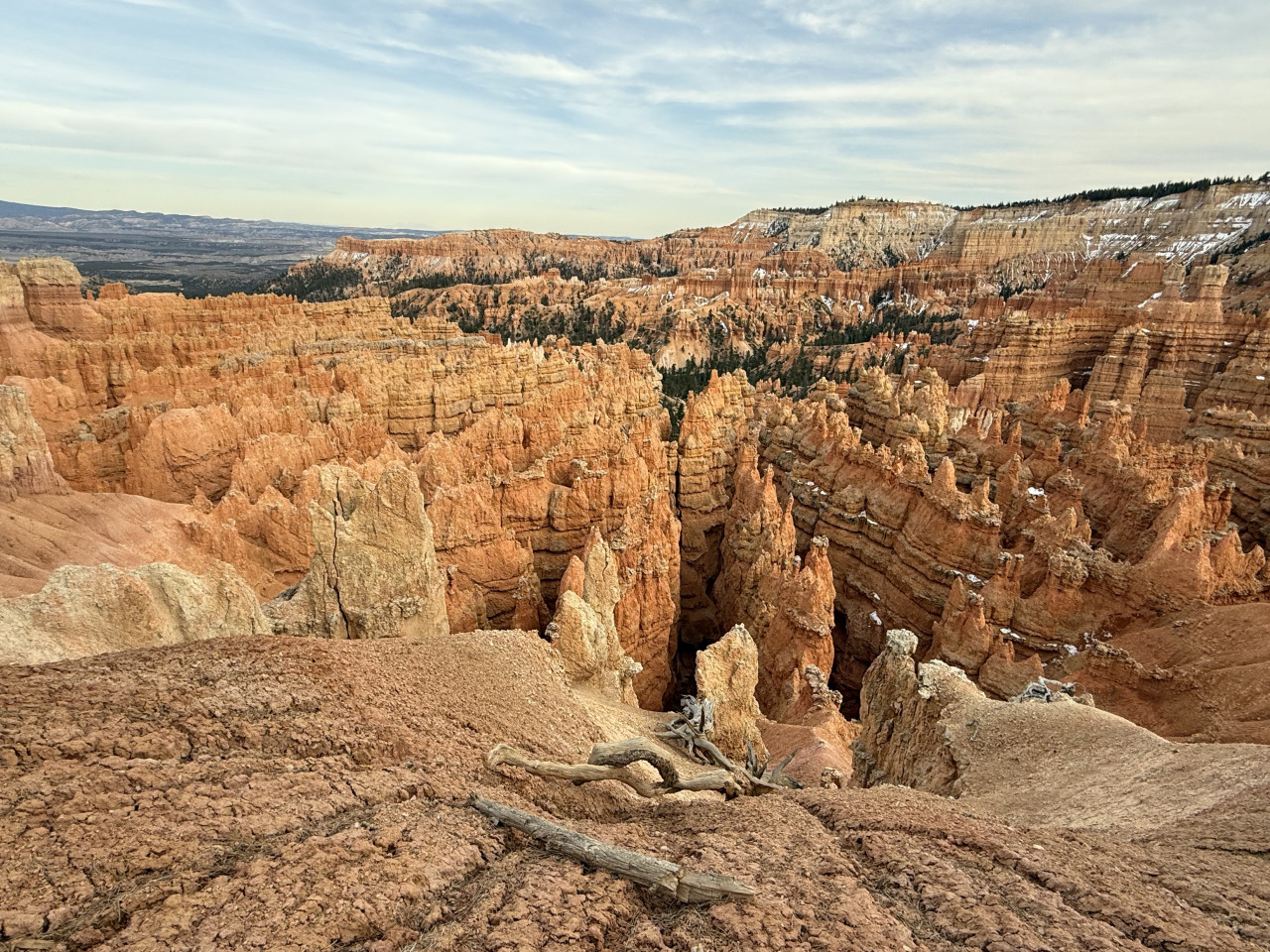
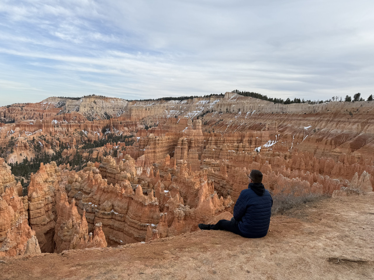
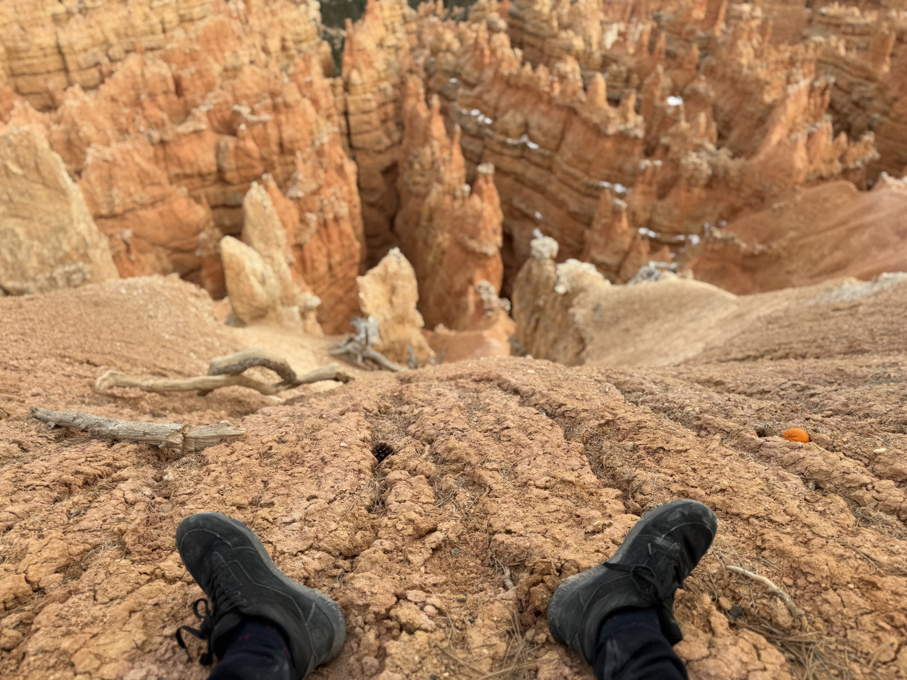
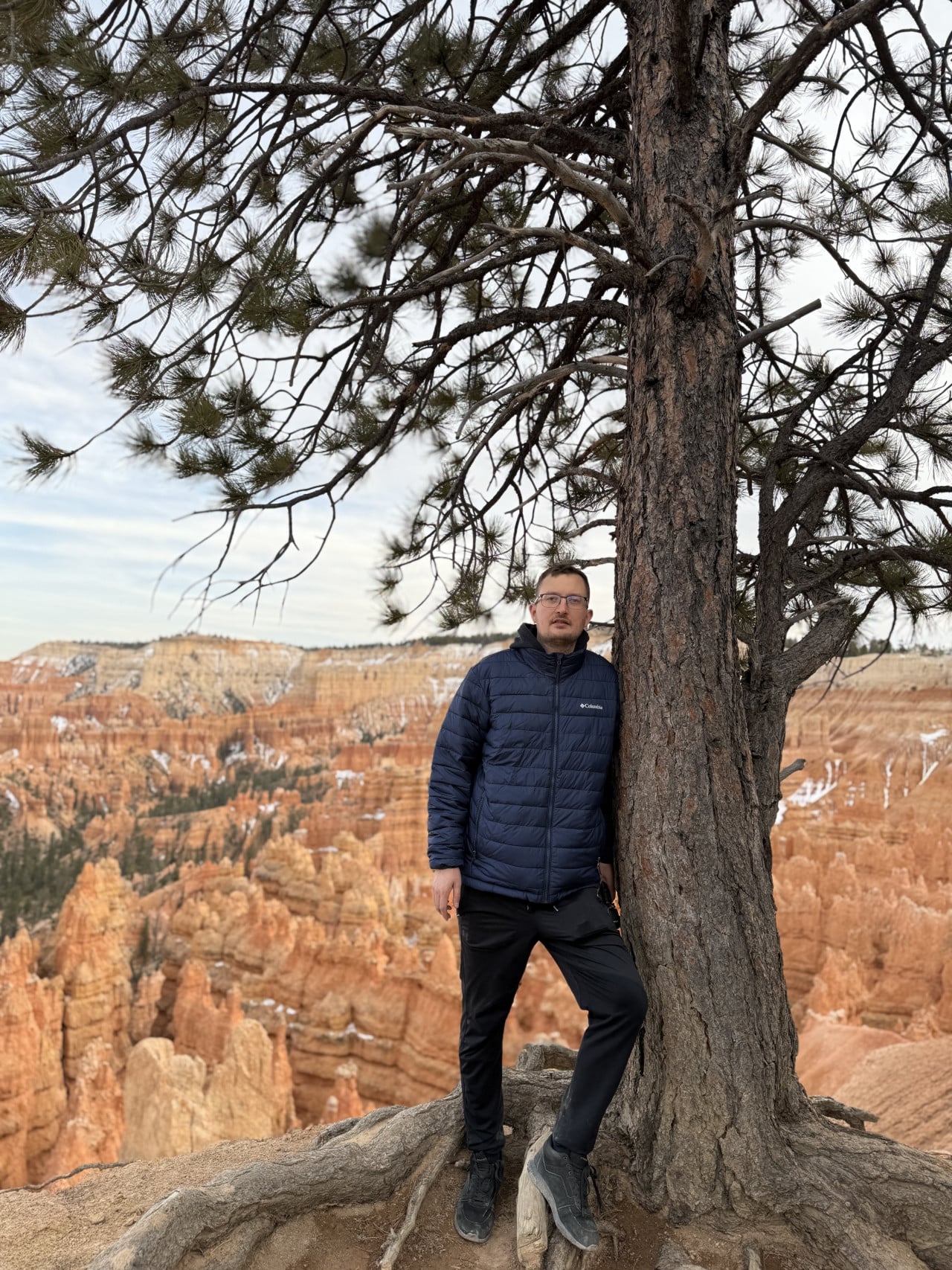
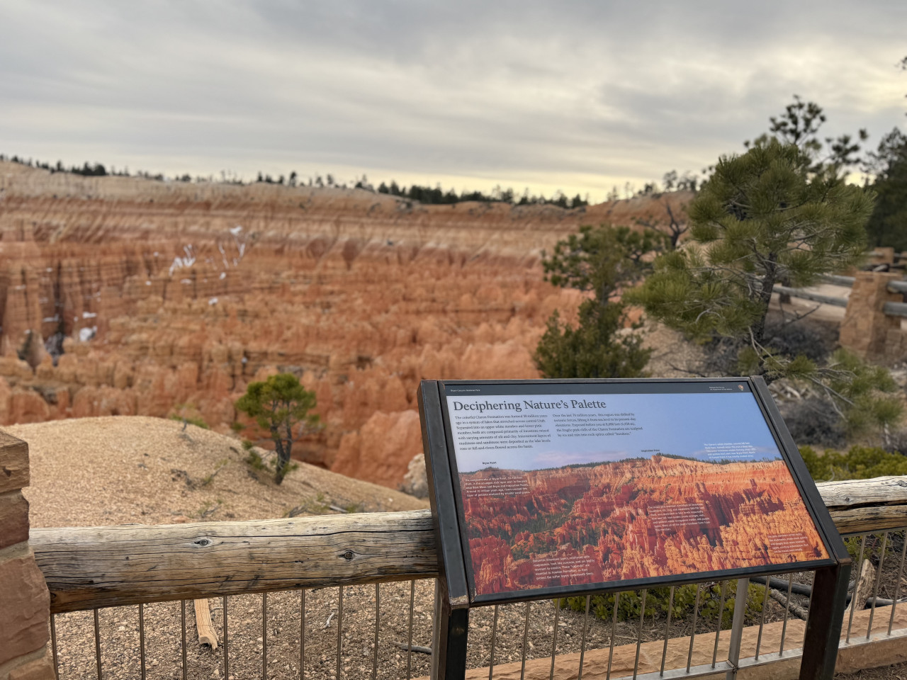
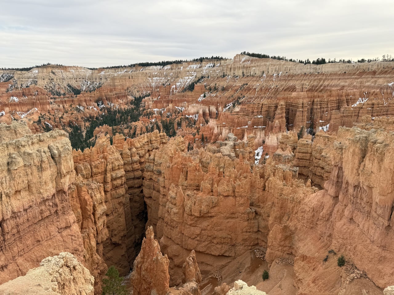
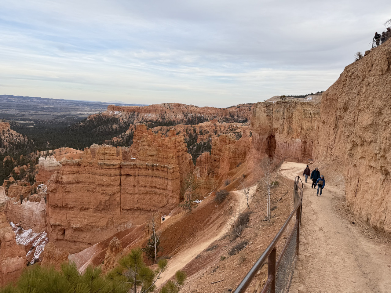
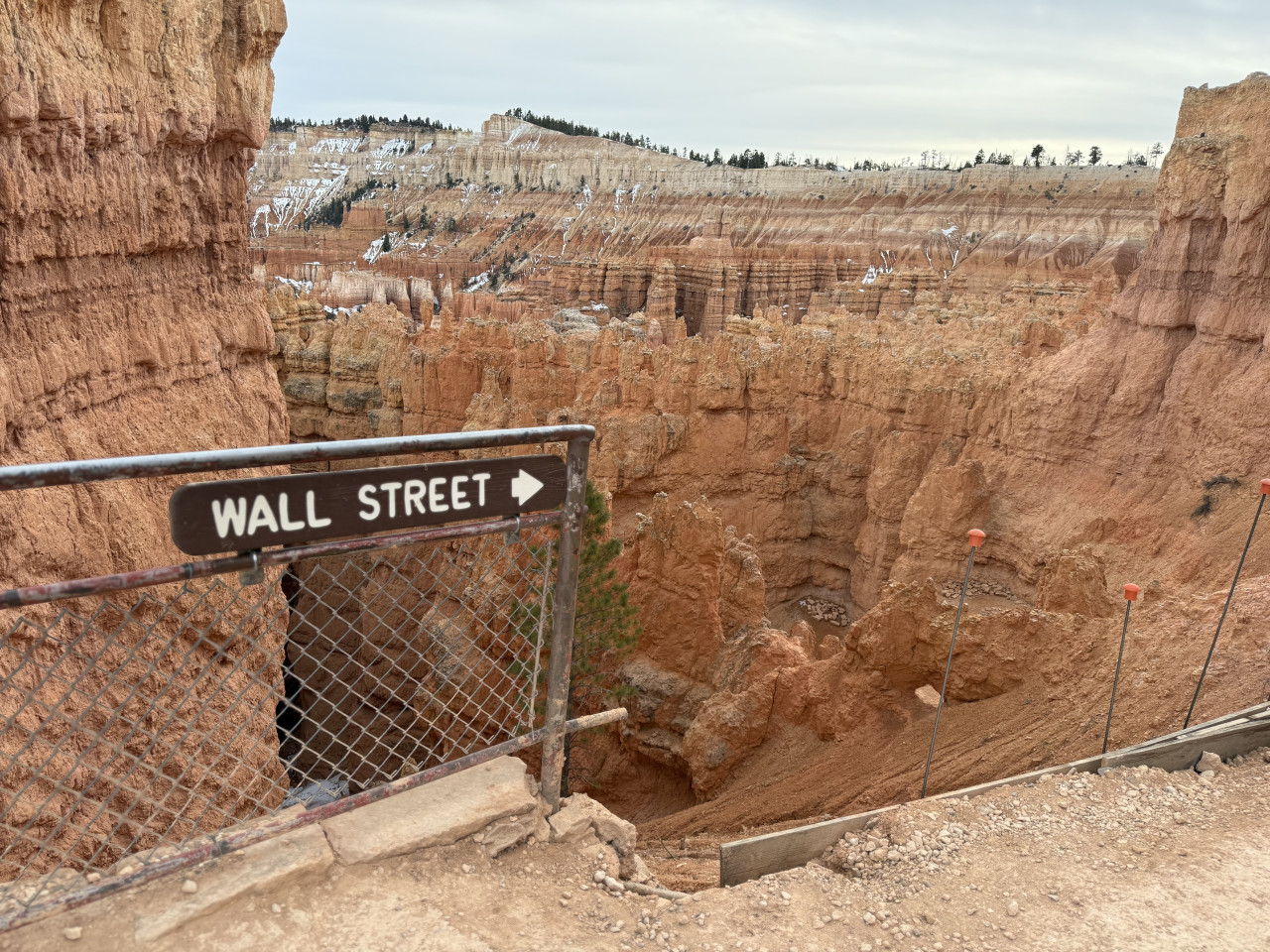
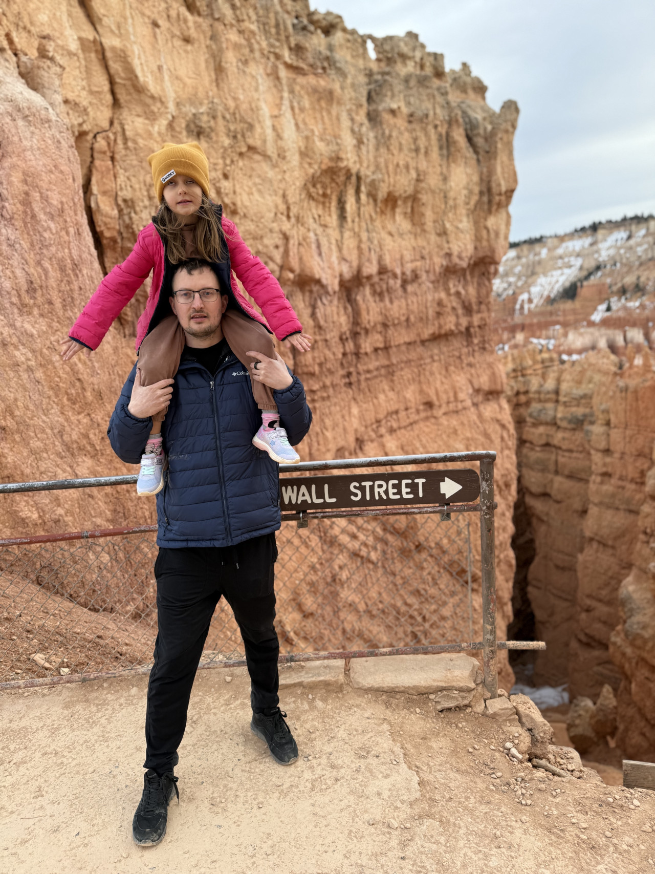
Then we went left from the parking lot, where there were interesting places such as Wall Street—a narrow gorge where you feel as though you're in a slot canyon. There was also information about the Legend People and, most importantly, you could descend directly into the canyon among the hoodoos. And that's a completely different experience from observing them from above. From below, those rock towers literally loom over you, making you feel tiny.
The Best Trails in Bryce Canyon—Where to Go
If you're planning a visit, here's an overview of the most interesting routes worth exploring:
Navajo Loop Trail—This is probably the most famous trail in the entire park. It begins at Sunset Point and descends into the amphitheater through the famous Wall Street—a narrow gorge with high walls where enormous Douglas firs grow. Along the way, you pass the iconic Thor's Hammer, a huge hammer-shaped hoodoo. The trail is about 2.2 km long and moderately difficult, but expect a fairly steep climb back up. If you only have time for one trail, this is the one.
Queen's Garden Trail—The easiest route below the canyon rim. It begins at Sunrise Point and passes among formations resembling royal gardens—you'll see Queen Victoria, Gulliver's Castle, and others. It's about 3 km long and can easily be combined with the Navajo Loop to create a figure-eight route.
Peek-a-Boo Loop Trail—A more challenging loop (about 9 km), but the reward is panoramic views and formations such as the Wall of Windows and Silent City. There are significantly fewer people here than on the Navajo Loop, so if you're looking for a little peace and quiet, this is a safe bet. You may also encounter horses on the trail—they have the right of way.
Fairyland Loop Trail—Many visitors say this is the most beautiful trail in the entire park. It's a longer loop (about 13 km), but the views of China Wall, Tower Bridge, and an endless sea of hoodoos are worth every step. The trail is surprisingly quiet because most tourists stay near the main amphitheater.
Rim Trail—If you don't want to descend into the canyon, this route follows the rim and connects all the main viewpoints from Fairyland Point to Bryce Point. It's about 18 km long in total, but you can choose to walk only one section. The part between Sunrise and Sunset Point (about 800 meters) is even paved and wheelchair-accessible.
Bristlecone Loop—A short loop (1.6 km) at the southern end of the park near Rainbow Point, where bristlecone pines grow—the oldest tree species in the world. Some specimens are more than a thousand years old. It is the highest-elevation trail in the park (2,778 m), so expect colder weather.
Mossy Cave—A very short trail (1.3 km) outside the park's main area, but worth a stop. It leads to a mossy cave and a small waterfall. Ideal for families with children.
Sunrise and Sunset—When to Arrive
This is important because sunrise at Bryce Canyon is absolutely magical. The amphitheater faces east, so the first rays of the morning sun fall directly on the hoodoos and literally light them up—in just a few minutes, gray silhouettes become glowing orange and red pillars. It's as if someone switched on a giant spotlight.
The most popular place to watch the sunrise is Sunrise Point, but honestly—Sunset Point offers an even better view, surprisingly enough (the name is a little misleading and dates back to the park's early marketing days). From here, you can look directly at Thor's Hammer and Silent City.
Bryce Point is great for those who want to avoid crowds—there are fewer people here, and the views of the hoodoos from below are fantastic.
Inspiration Point offers a broader panoramic view of the entire amphitheater.
As for sunset—it's a little different here. Because all the viewpoints face east, the sun sets behind you. So you don't see a classic sunset over the horizon; instead, you watch the shadows slowly creep across the amphitheater as the hoodoos gradually darken. It's beautiful in a different way—quieter and more meditative.
Practical tips:
-
Arrive at least 45 minutes before sunrise—the most beautiful colors often appear 20 minutes before the sun actually rises.
-
Dress in layers—mornings in Bryce Canyon can be truly freezing, even in summer.
-
Don't leave immediately after sunrise—for another 30–60 minutes, the hoodoos literally glow in the morning light. A TripAdvisor user named Dick described it beautifully—the hoodoos light up “like candles."
-
And if you stay until nightfall—Bryce Canyon is one of the best parks for stargazing in the entire United States. You can see the Milky Way here with the naked eye.
In Conclusion—Bryce Canyon Is a Must-See
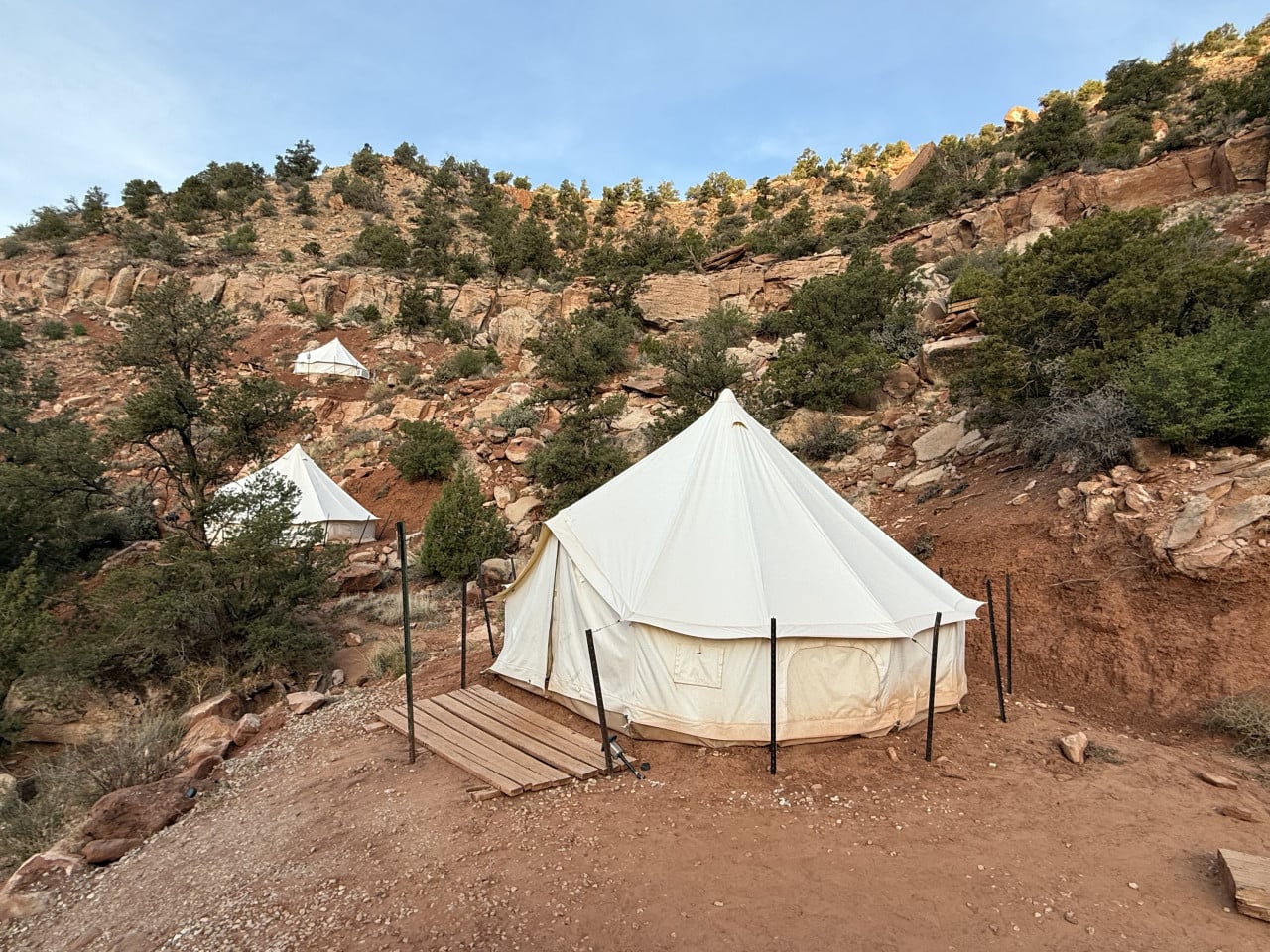
In my opinion, Bryce Canyon is definitely one of the places you have to see if you're taking a road trip through the southwestern USA. It's relatively close to Las Vegas and can even be visited as a day trip (although I recommend staying overnight—either at a campsite or in a glamping resort, which I'll write about in my next article).
That feeling when you stand on the rim and look down at thousands of rock towers that nature spent millions of years creating—it's impossible to describe. You have to experience it.
We really enjoyed our time there. And if I had to give one recommendation—if you can, come for sunrise. The experience is worth getting up at 4:30 in the morning.
Bryce Canyon is absolutely incredible and definitely worth visiting.