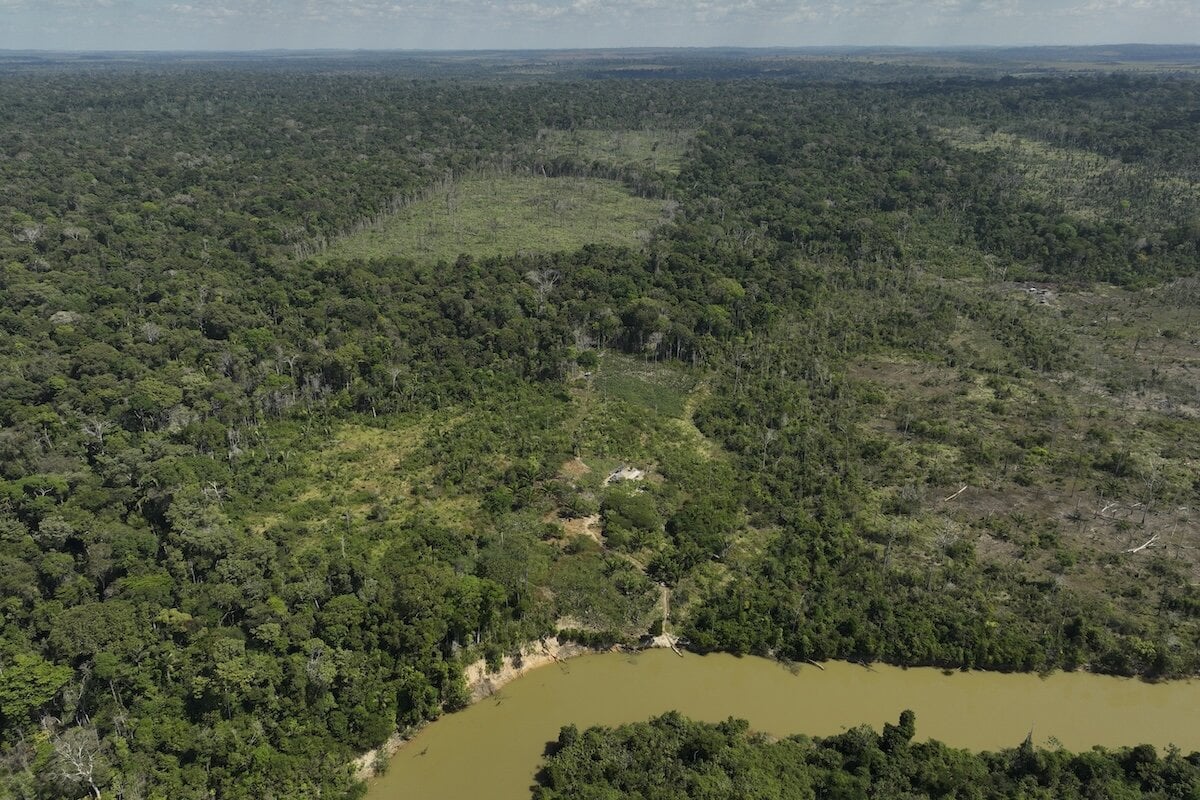
Hundreds of kilometers from the nearest city, deep in the Peruvian Amazon, a small group of scientists is making its way through dense undergrowth. They are carrying drones, bioacoustic recorders, and sensors for collecting environmental DNA from rivers. And laptops full of algorithms. What is their goal? To find out exactly what lives in one of the least explored places on Earth—and, above all, to prove it to a world that might pay to protect this place.
The Brazilian nonprofit scientific institute Imazon has been monitoring the dynamics of Amazon deforestation since 1985. But only in recent years has its work moved to another level. The institute has developed artificial intelligence models that predict deforestation, processing vast amounts of satellite imagery and identifying where forest destruction is likely to occur before it actually happens.
The result is a colorful map dotted with yellow, orange, and red points. To the uninitiated observer, it is a pretty graphic. To Imazon researcher Carlos Souza, it tells the story of the struggle for the survival of the largest forest ecosystem on the planet.
In 2021, when they launched the system, these predictions helped identify 15,000 square kilometers of highly threatened forest. Of this area, 71 percent was saved. The system contributed to more than 4,400 environmental enforcement cases and helped detect 99 percent of illegal logging. Seventy-three percent of all alerts were confirmed within four kilometers of the predicted location.
“I thought the problem was technological, that we lacked information,” Souza says. “Today, it is clear that we need political decisions. But this battle can still be won. We still have time. But not much.”
A Computer-Grown Rainforest
At the other end of Brazil, on the Atlantic coast, the remnants of a once-vast forest have shrunk to just 12 percent of their original area. The rest has been lost to agriculture, pasture, and urbanization. Brazilian company re.green decided to reverse this trend with the help of technologies that would have seemed unimaginable just a decade ago.
First, the company uses algorithms to analyze satellite data and identify the best places for restoration. Degraded land with low productivity? Exactly what they are looking for. It then buys or leases the land from farmers and ranchers, and algorithms recommend which restoration method to use first. Heavy machinery operates in accessible areas, while drones fly in remote locations without infrastructure, sowing seeds directly from the air.
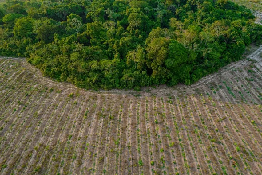
In October 2025, re.green won the prestigious Earthshot Prize, Prince William's award, in the “Protect and Restore Nature” category. “Re.green is igniting a wave of transformation through pioneering technology,” said Jason Knauf, CEO of the Earthshot Prize. So far, the company has planted more than 6 million seedlings across 30,000 hectares in four Brazilian states. By 2032, it aims to increase that number to 65 million.
And how will it all be financed? Among other things, by selling carbon credits. This year, re.green agreed to sell nearly 3.5 million metric tons of carbon removal credits to Microsoft, which includes the restoration of 33,000 hectares of forest. It also signed a similar agreement with Nestlé.
When AI Counts Insects in the Rainforest
An expedition by Conservation International to Yaguas National Park in Peru revealed yet another dimension of what technology can accomplish. A team of scientists, technologists, and local Indigenous guides tested whether modern technology could truly monitor rainforest life on a large scale.
The results are astonishing. In five days of research, the team recorded 160,000 insect observations representing 854 taxa. In addition, they used camera traps for mammals, sensors to collect environmental DNA from rivers, bioacoustic recorders capturing the calls of birds and frogs, and drones mapping tree species composition from the air. All with the help of AI, which processed the data in real time.

Tom Walla, co-founder of Limelight Rainforest, has devoted his entire professional life to insects. He says the old survey method—a white sheet with a lamp and a scientist with tweezers—captured no more than one percent of the species that landed on it. “Insects have always been considered the worst indicator of the state of nature. Too variable, too numerous, too difficult to identify. They were right until we had the right tools,” Walla says. “Now I would say they are our best indicator.”
Moreover, the entire mission took place in an improvised camp by the river because, shortly before the research began, illegal gold miners invaded the park and a military intervention closed it. The local community of Puerto Franco offered its land and became part of the research. Six community members walked more than ten kilometers through the rainforest every day to install sensors. When the scientists left, the sensors remained, and the local community continues to maintain them.
All three stories have one thing in common: data is more powerful than pleas. Imazon does not have an army of forest rangers, re.green cannot manually plant millions of trees, and Conservation International cannot station scientists on every hectare of the Amazon. But they have algorithms, satellites, and a growing network of partners. Brazil has already proven once that it can be done. Between 2004 and 2012, deforestation fell by 84 percent, while the Amazon region's GDP more than doubled. “That shatters the entire notion that economic development must go hand in hand with destruction,” says Ritaumaria Pereira, executive director of Imazon.
And yet, the forest continues to disappear every year. More slowly, but it is still disappearing. Artificial intelligence can predict, map, and warn, but people must decide to act.