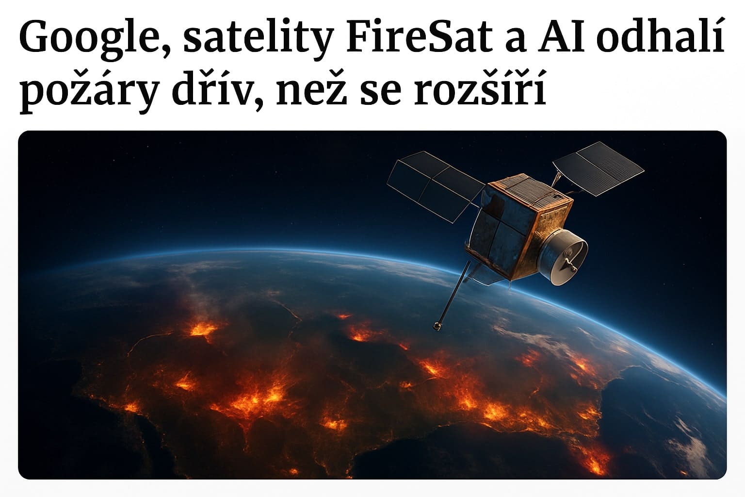
Google Helps Protect the Earth: FireSat Will Detect Fires Before They Spread
Wildfires spread at an uncontrollable rate, and every second counts. If they are not detected in time, they turn into an uncontrollable disaster. Now, however, Google has introduced a revolutionary solution: the FireSat satellite, which can detect a fire at its earliest stage with exceptional accuracy. How does it work? And how can it help prevent large-scale fires?
Frequent Wildfires and Inadequate Technology
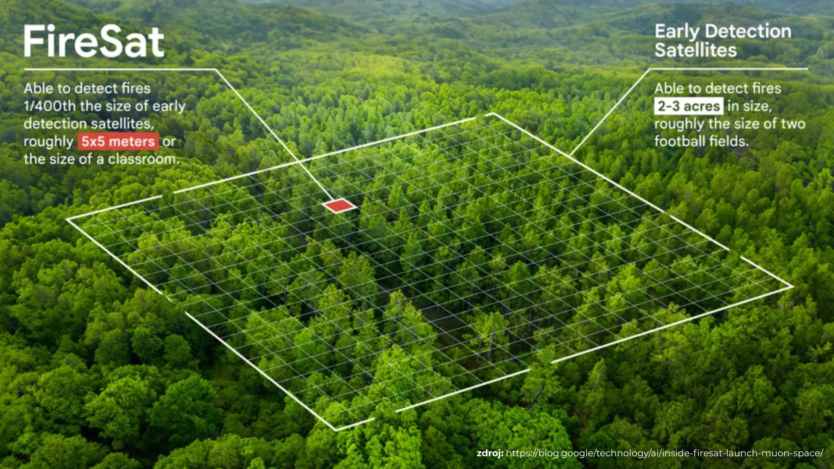
Wildfires are a major global problem affecting not only human lives but also national economies and the environment. Between 2001 and 2023, 138 million hectares of tree cover were lost worldwide—an area more than 17 times the size of the Czech Republic. Satellite imagery can help detect wildfires. Currently, however, the images are of poor quality and cannot detect a fire until it has grown to at least the size of two football fields. Another obstacle is that the images are not updated frequently enough, preventing experts from monitoring fires in real time, tracking how quickly they spread, and predicting their future behavior.
Up-to-Date Information Every 20 Minutes
Google also recognized the long-standing lack of satellites capable of providing up-to-date, high-quality satellite imagery. It therefore joined forces with satellite manufacturer Muon Space, and together they founded the nonprofit organization Earth Fire Alliance. In collaboration with other companies and safety specialists, they developed FireSat, a constellation of approximately 50 satellites that will provide high-resolution imagery of the entire planet every 20 minutes. Thanks to this high imaging frequency, fires can be detected immediately, their behavior and development monitored along with weather conditions in the affected area, and appropriate action taken. Google.org invested $13 million in developing the first such satellite, which was successfully launched into orbit on March 14 of this year. It currently captures two images per day. However, it will gradually be joined by additional satellites, increasing the imaging frequency to as many as 80 images per day.
Accurate Detection of Even the Smallest Fires, as Small as a Classroom
The FireSat satellite not only provides real-time imagery but is also equipped with an infrared camera. Its special sensors can detect fires at their earliest stages, even when they measure just 5 by 5 meters. Thanks to artificial intelligence, the satellite can also determine whether it is detecting a wildfire or a controlled open fire. This can be particularly helpful in remote areas, where a fire may be caused by something as simple as a lightning strike that goes unnoticed. Fires could now be extinguished immediately at their earliest stage, preventing them from continuing to spread undetected.
Artificial Intelligence as a Useful Assistant
Google is now training artificial intelligence and refining its algorithms specifically for analyzing satellite imagery. Emergency services will not only see a fire before it gets out of control, but will also understand the nature of the location, changes in the fire's behavior, and predictions of how it will continue to spread.
Fire Protection and Slowing Climate Change
Experts see FireSat not only as protection against uncontrolled wildfires but also as a tool for climate protection. By using advanced satellite technology and artificial intelligence to detect, understand, and monitor fires in time, we can also prevent excessive emissions and greenhouse gases from being produced. According to scientists and experts, the FireSat constellation could therefore help combat climate change over the long term.