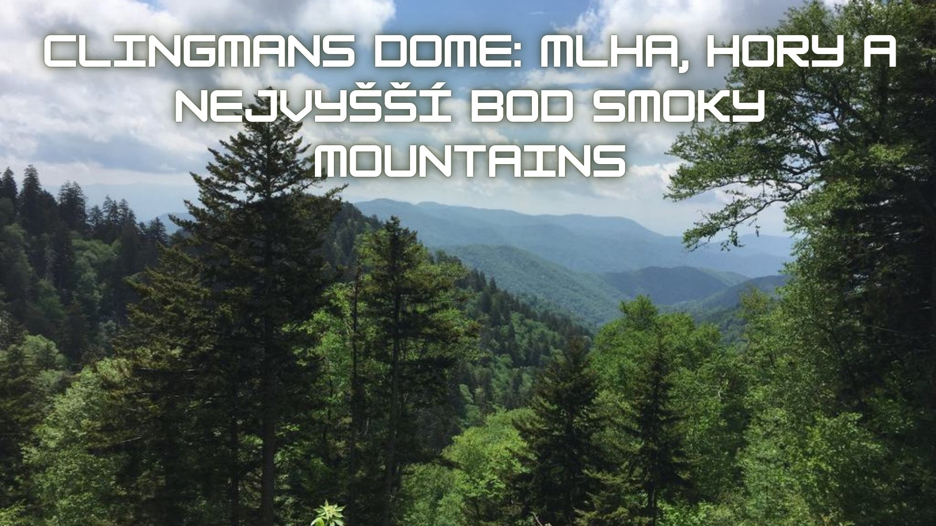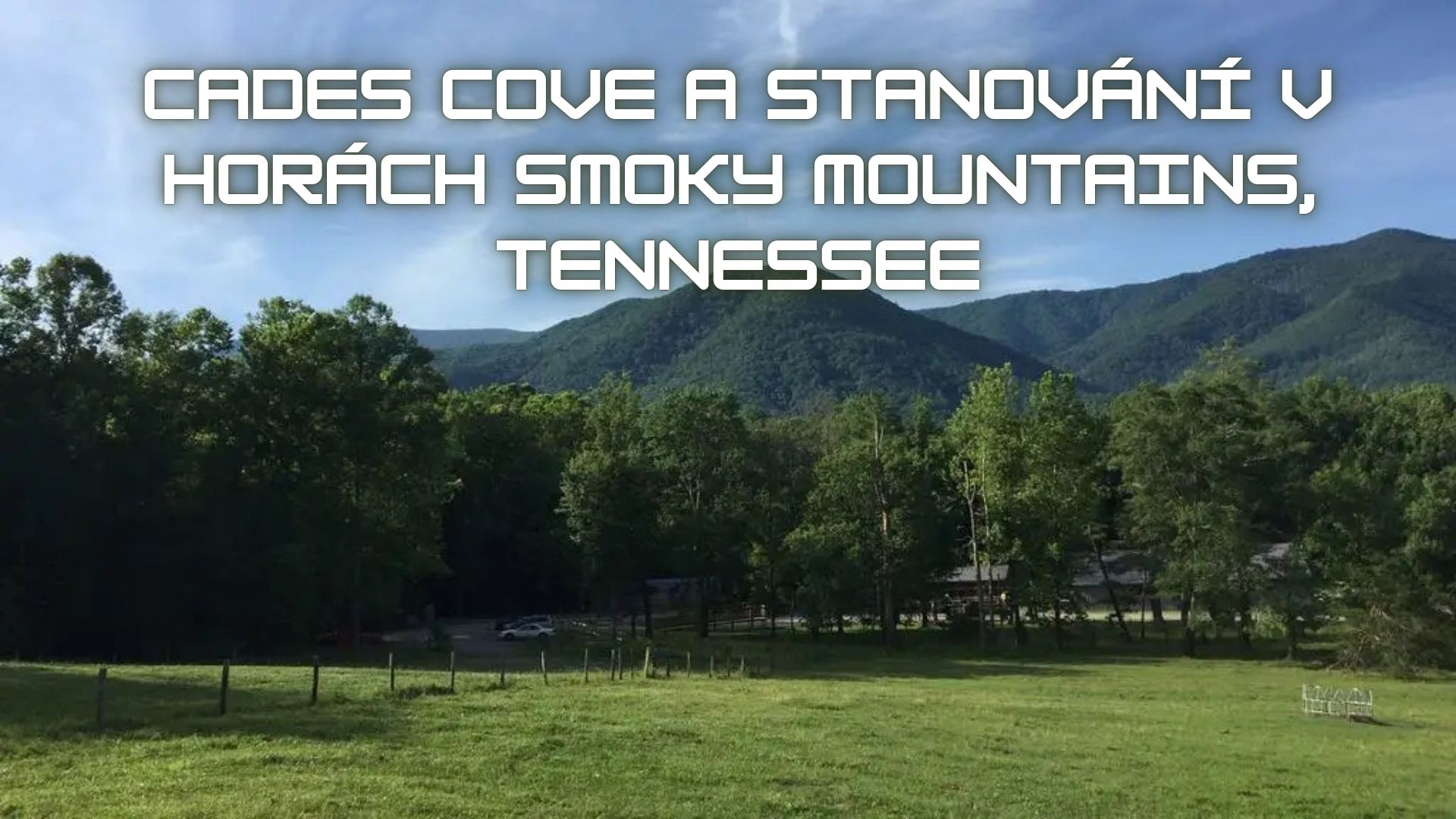
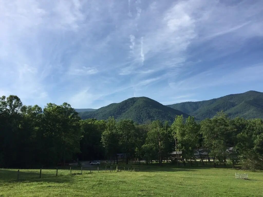
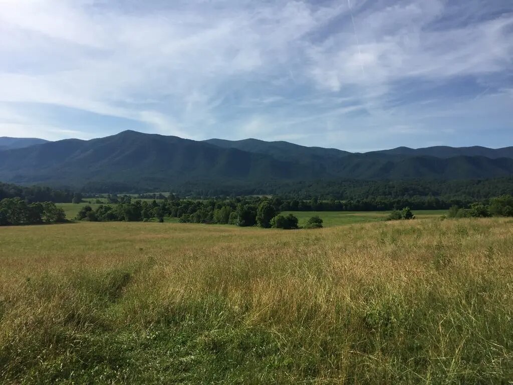
For me, Cades Cove is the most beautiful part of the Smoky Mountains so far.
Some locals recommended that I visit it.
Well, judge for yourselves.
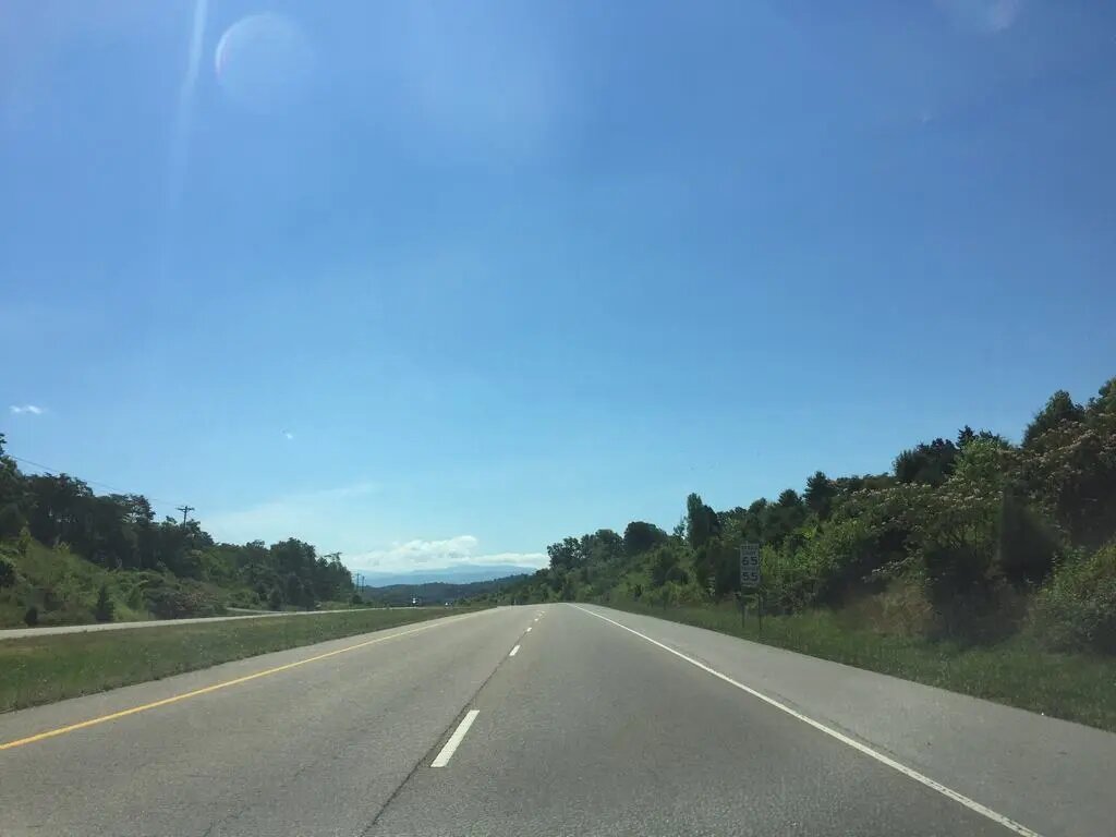
Cades Cove lies just across the state line in Tennessee.
The drive from Atlanta takes roughly 3 hours on the highway.
Make sure you really stay on the highway, because Google Maps likes to route you through towns off the highway as well.
It is roughly the same in terms of both distance and time, but with the second option, expect to stop at traffic lights and the like every few minutes.
I would definitely come here for at least two days. There is more than enough to do for a single day.
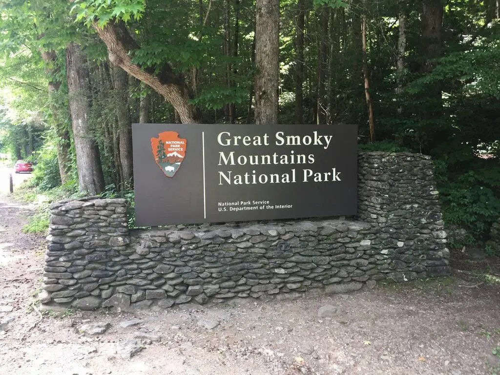
On the way in, I took a photo of a sign indicating that I was entering the national park: “Great Smoky Mountains.”
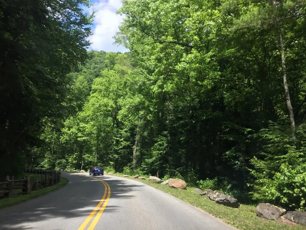
Then I drove along a winding road through the forest, and suddenly beautiful panoramas appeared in front of me.
I had to keep stopping by the roadside to take photos and admire the beautiful, pristine environment untouched by human hands.
It was truly amazing.
It confirmed once again just how much I love the mountains.
Well, tell me, isn’t it truly beautiful?
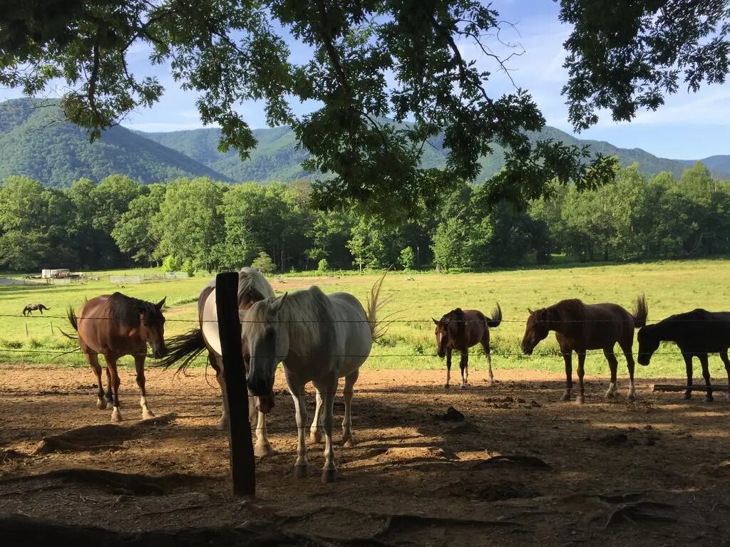
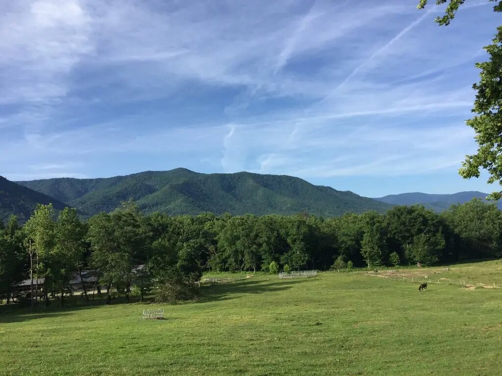
I followed the directional sign and arrived at the campground I had already chosen and reserved in advance.
During the summer months, I recommend booking well in advance on recreation.gov.
You simply select the site where you want to camp, choose your arrival date, and pay by credit card.
The fee is $20 per night (in 2017), or at least it is this year; it may change in the future.
As I entered the campground, I was greeted by a sign saying: “Welcome, and please check in at the office when you arrive.”
I stopped near the entrance to the “rangers office” and checked in inside.
I received a map of the grounds and a slip showing the dates of my stay at the campground.
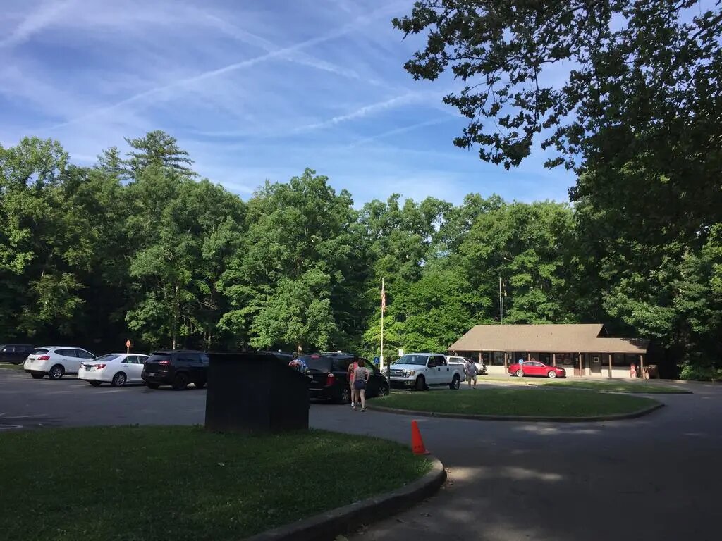
It is quite a large complex.
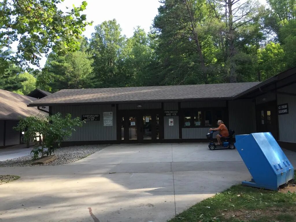
You will find a parking lot, a store, and fast food here, so you can buy souvenirs, firewood for grilling, food, and much more.
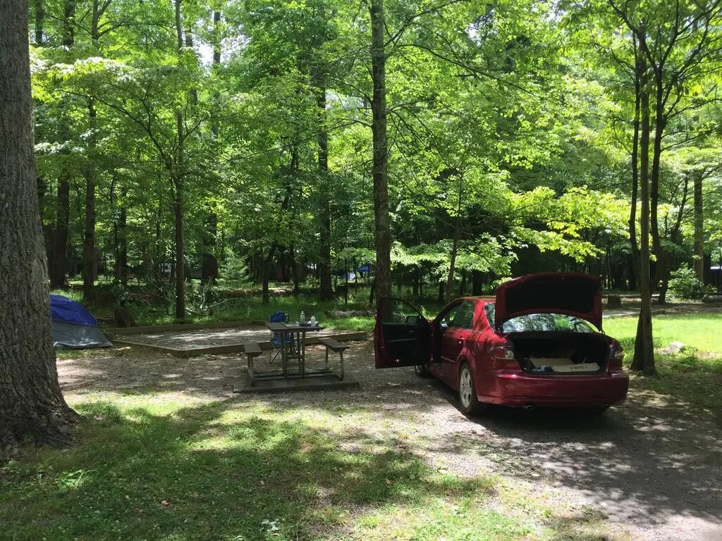
I found my “site” – the spot reserved for me.
They label them with letters of the alphabet and numbers; I think I had B12. They are easy to find, and rangers regularly patrol the park and check everything, so you can also ask them.
Before I went hiking, I needed to pitch my tent because I knew I would not be back anytime soon and would probably be too tired to do anything in the evening.
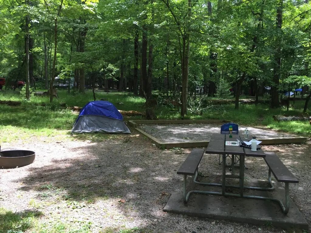
What I liked at first sight was how they had leveled the ground and covered it with small stones.
At first glance, it looked as though it had been made for a tent.
However, I found two problems that ultimately made me pitch the tent right next to it.
– it is uncomfortable to sleep on the stones without a sleeping pad (fortunately, I had one)
– the site was so perfectly leveled and compacted that it was impossible to drive the tent stakes into the ground
As I wrote above, there was no problem right next to it, and I pitched my tent there.
I looked at the map to figure out which way to go and headed into the mountains.
I had my route planned out quite clearly.
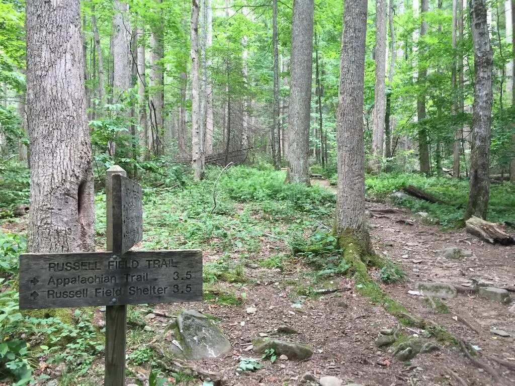
Climb to the top and continue along the ridges either toward the Appalachian Trail and Thunderhead Mountain or along the ridges via Russell Field Trail.
In the end, I chose the second option, deciding to save Thunderhead Mountain for another time.
The route leads through the forest, past various streams and waterfalls.
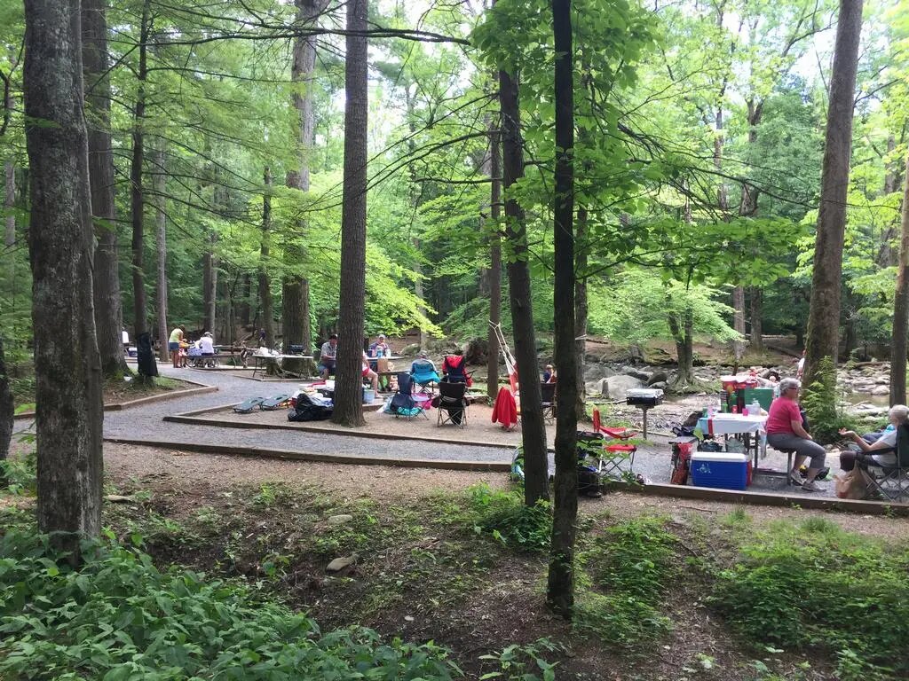
What really surprised me was that the campground was completely full of people, yet no one went hiking at all.
Apart from the campground, I did not meet a single person all day.
On the one hand, that was nice; on the other hand, because of the partial lack of cell reception and all the different signs and warnings about bears, I thought it would not be a bad idea to meet someone occasionally, especially in case something happened.
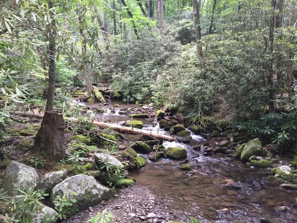
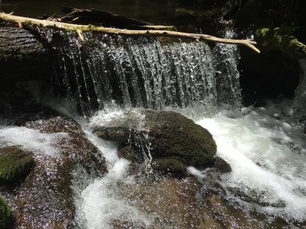
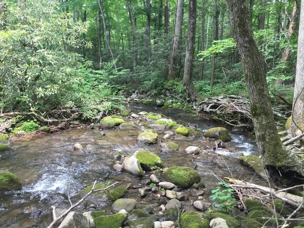
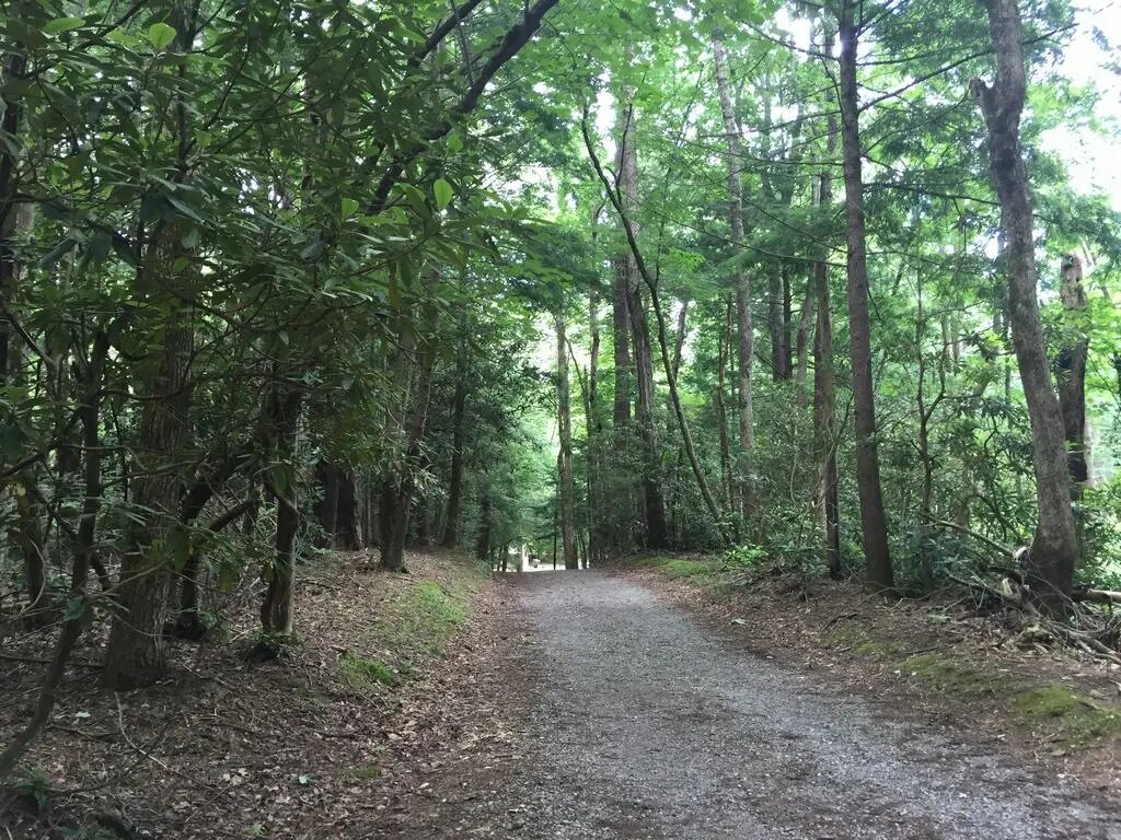
After roughly two to three hours, I scrambled up to the ridge, where the first of my waypoints was located – a so-called shelter.
Shelters are scattered throughout the mountains. They are open-fronted, cabin-like structures where you can spend the night, cook something, or simply rest.
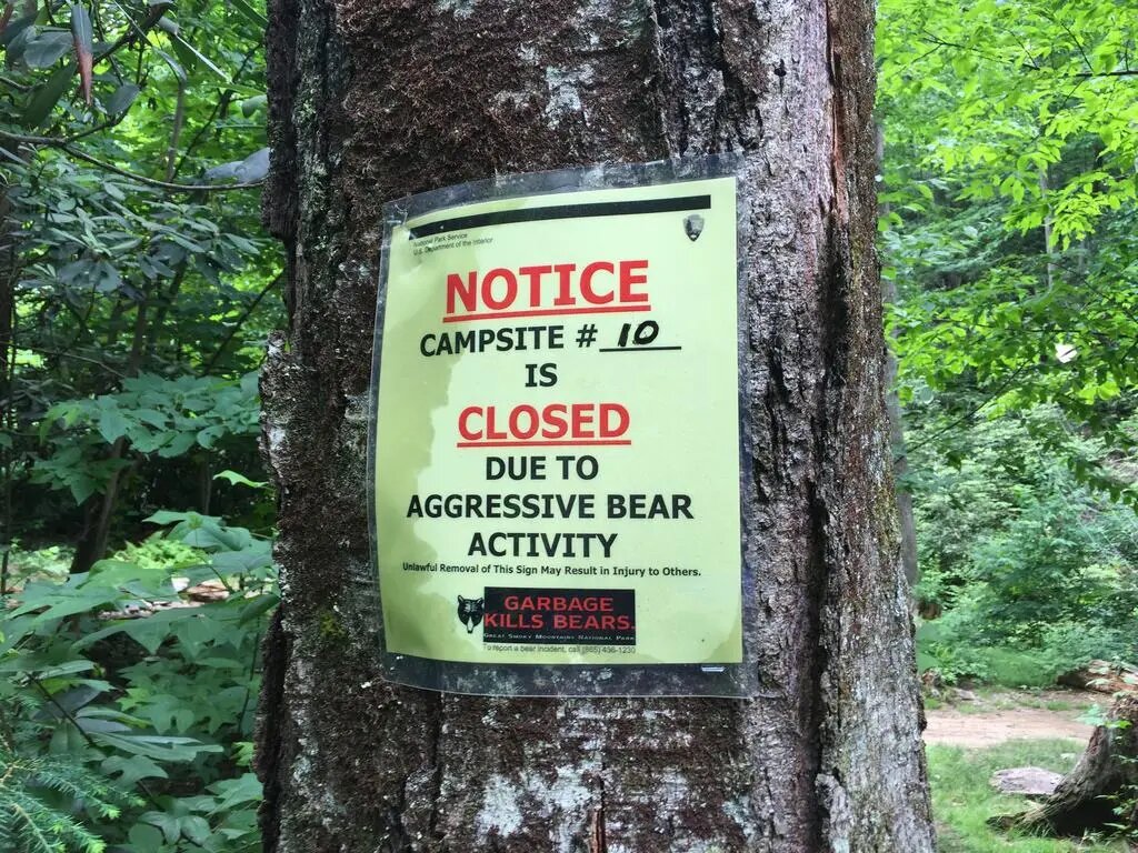
Most of them were currently closed because of bears.
Those signs certainly serve a purpose, but they did not exactly make me feel at ease, especially when I was many miles from civilization and without a signal in places.
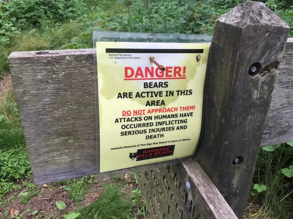
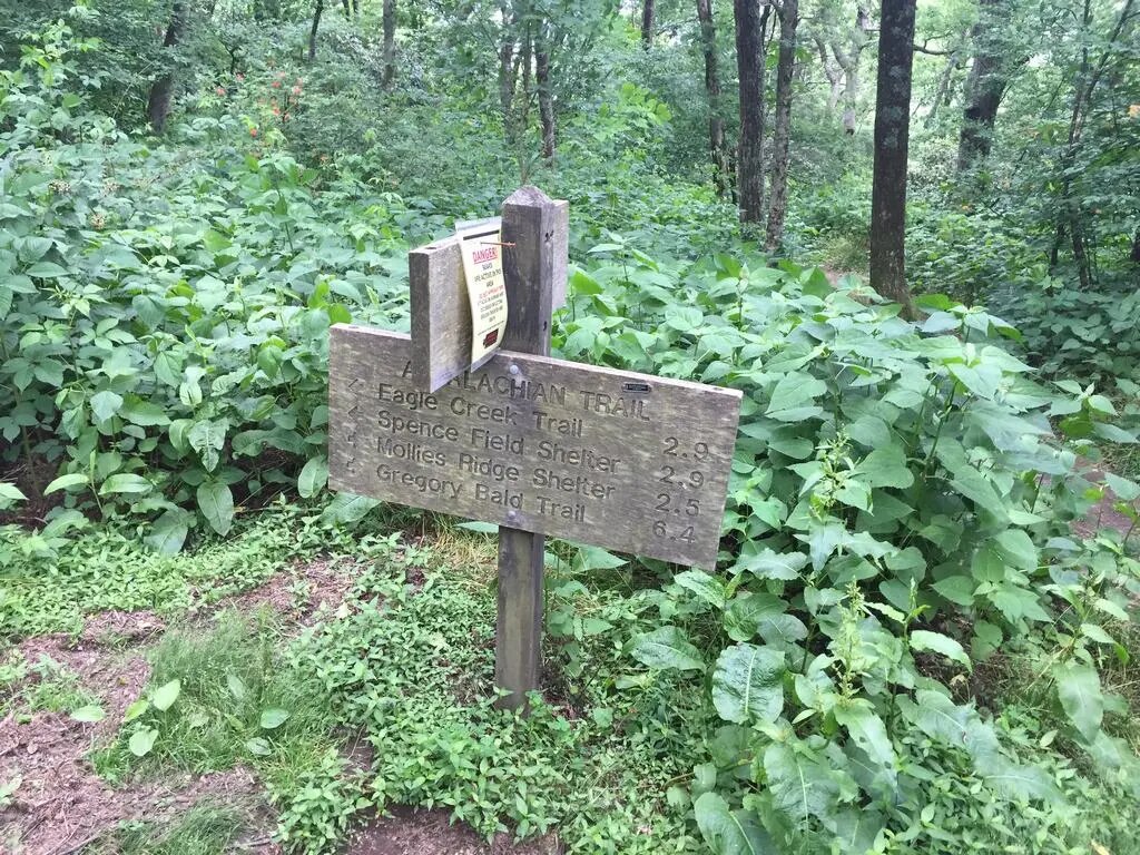
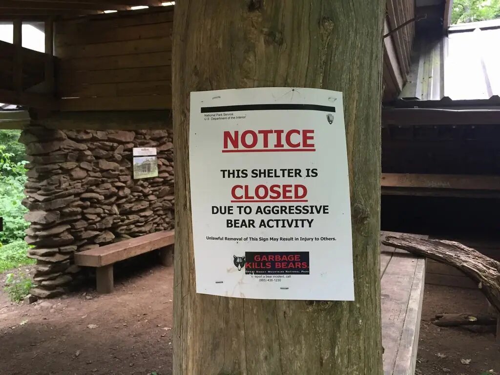
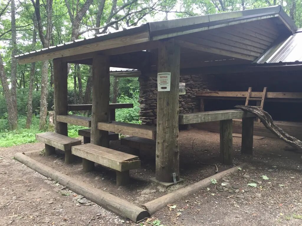
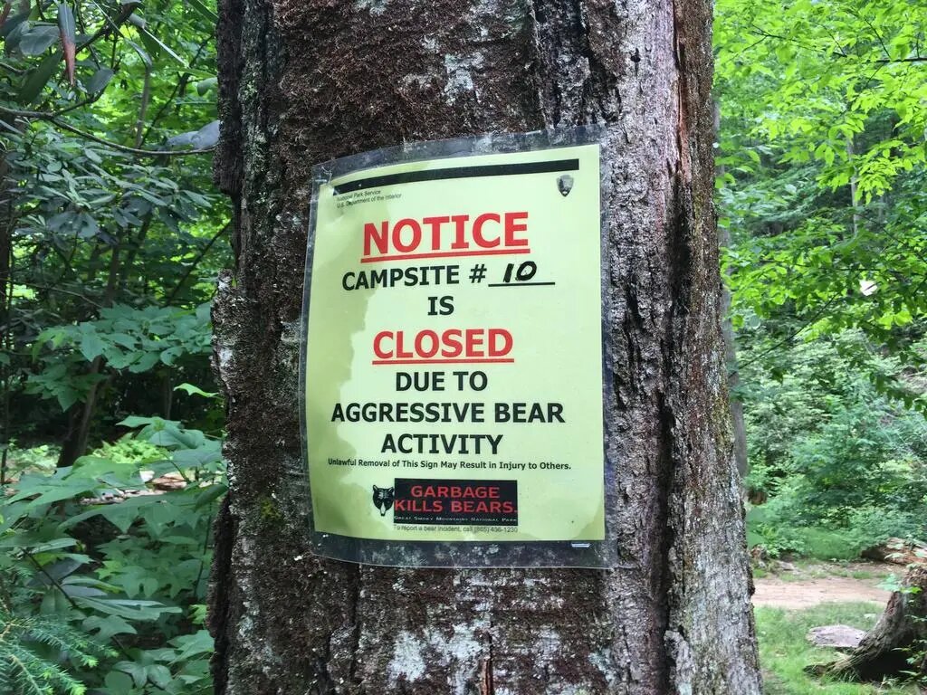
You can find the current status of each shelter online and see whether it is open.
I want to wait until this one opens and spend the night there. It could be perfect—under the stars, far away from everything.
After a short break, I continued onward.
The path led through the forest. What is interesting, however, is how completely the environment can change within a mile.
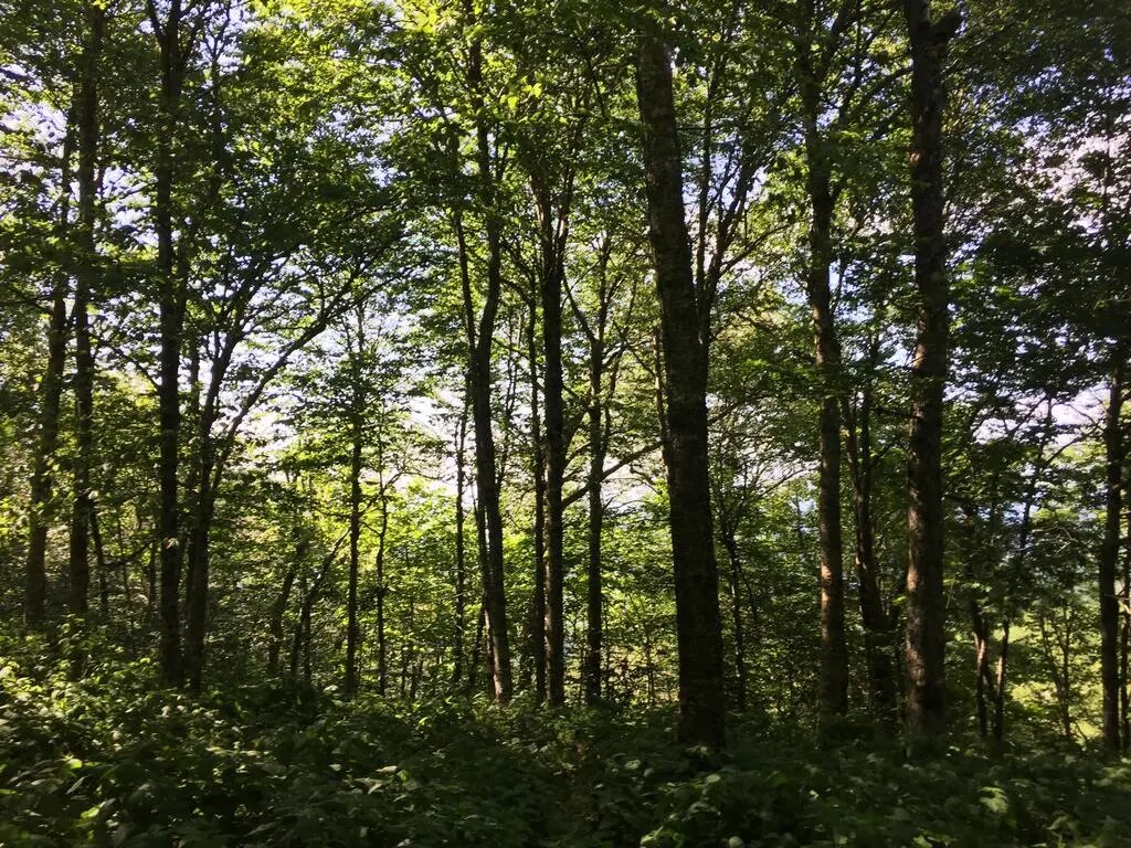
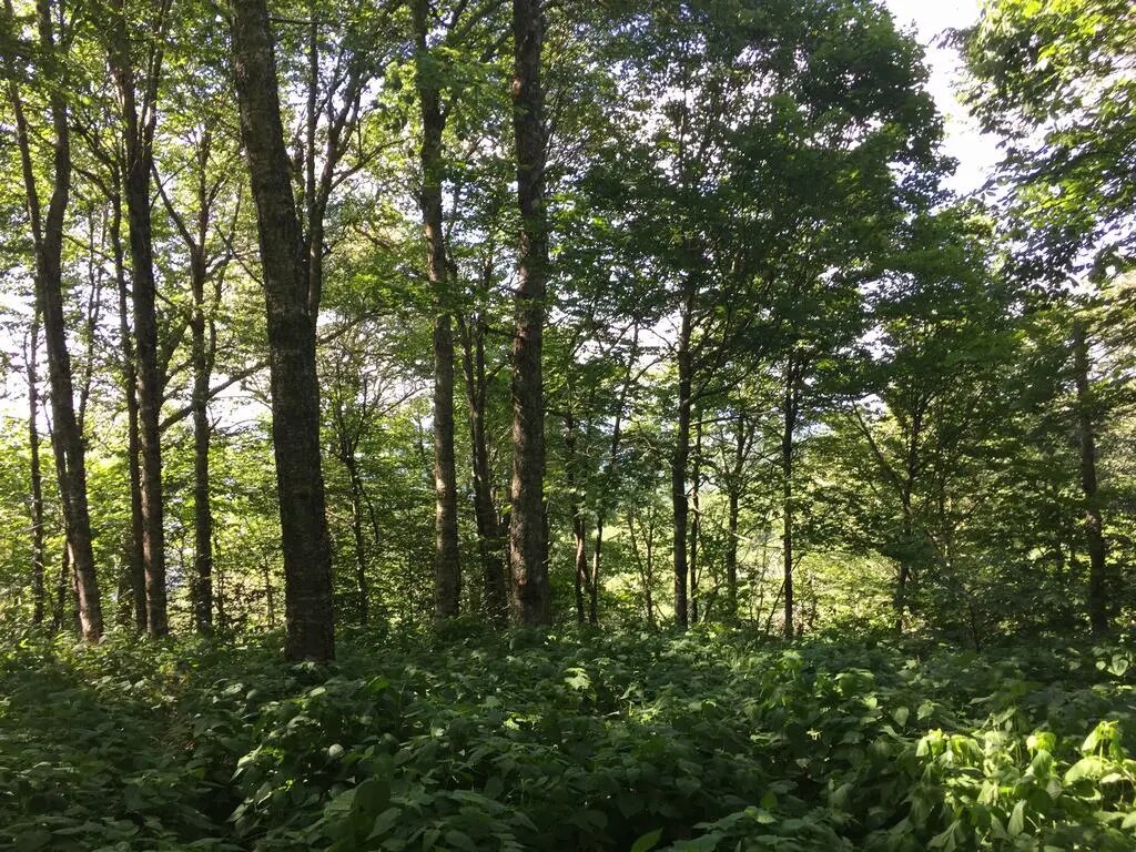
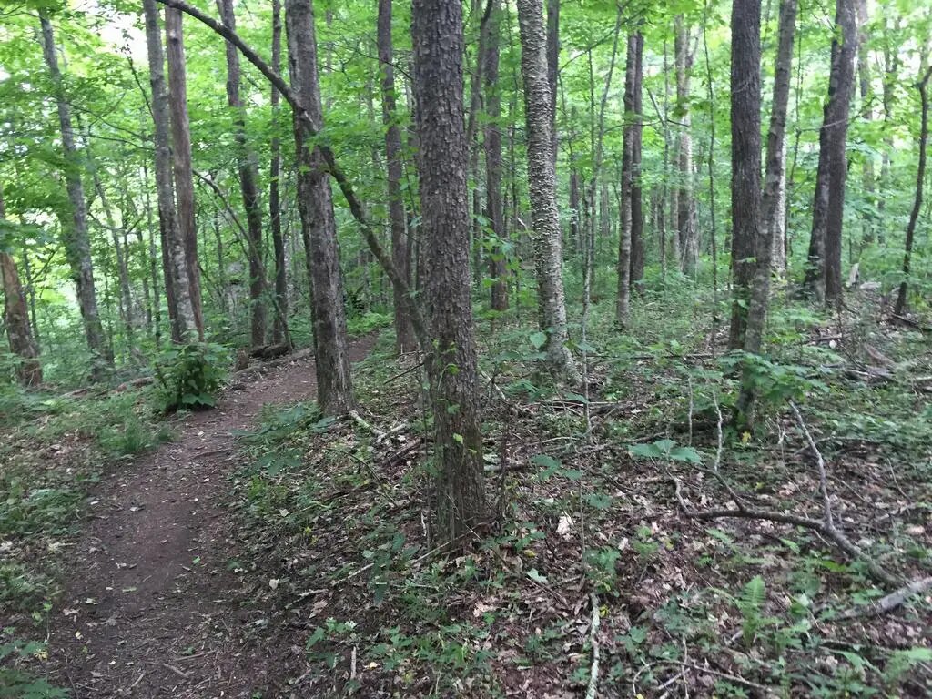
After roughly another 3 hours of walking, I checked the GPS and saw that I was really very far from the campground.
Given that it was around 6 in the evening, I was starting to get tired, and I still had several hours of walking to get back, I began to panic a little.
I did not really want to walk at night, and my phone battery would not last forever as a flashlight either.
Most importantly, bears also start moving around after dark.
In fact, I encountered them as well as some deer. A bear cub was lying (most likely sleeping) next to a tree, roughly 30 meters away from me.
I watched it for a moment, but then I quickly left, just to be safe.
Where there is a “little one,” the parents are nearby too, and in my exhausted state, I really did not want to have to run from a bear.
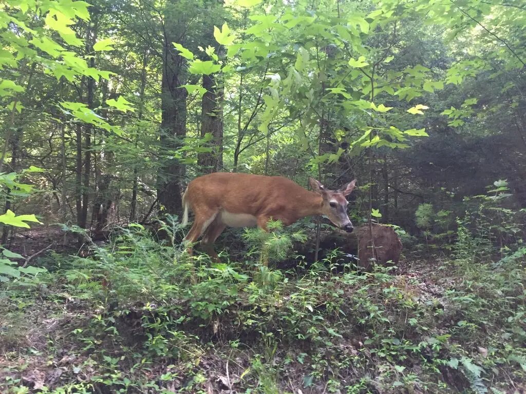
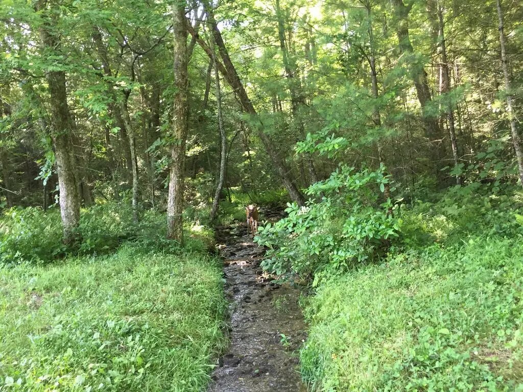
It is interesting how completely unafraid those animals are. You come across a deer and stand two meters away from it while it eats leaves, and it is not bothered in the slightest.
They are used to people.
After roughly another 3 hours of walking, I checked the GPS and saw that I was really very far from the campground.
Given that it was around 6 in the evening, I was starting to get tired, and I still had several hours of walking to get back, I began to panic a little.
I did not really want to walk at night, and my phone battery would not last forever as a flashlight either.
Most importantly, bears also start moving around after dark.
In fact, I encountered them as well as some deer. A bear cub was lying (most likely sleeping) next to a tree, roughly 30 meters away from me.
I watched it for a moment, but then I quickly left, just to be safe.
Where there is a “little one,” the parents are nearby too, and in my exhausted state, I really did not want to have to run from a bear.
It is interesting how completely unafraid those animals are. You come across a deer and stand two meters away from it while it eats leaves, and it is not bothered in the slightest.
They are used to people.
Halfway through the walk back, with several miles still ahead of me, overwhelming fatigue set in and everything hurt.
Especially my legs and back.
Considering my fitness level, I had really overdone it.
For the rest of the trip, I was literally “dragging my feet,” but somehow I made it back—just before dark. It was a close call.
At the campground, I cooked some meat, ate, had a drink, and immediately fell asleep in the tent.
Conclusion?
If you ever go to the Smokies, I recommend planning your trip very carefully and considering your physical abilities and the time available.
Sometimes you cannot spend the night in the mountains because of the animals, and getting back can be difficult.
Everything looks close on the map, but that is not necessarily the case.
In any case, I will definitely return over the summer and try some more trails :).